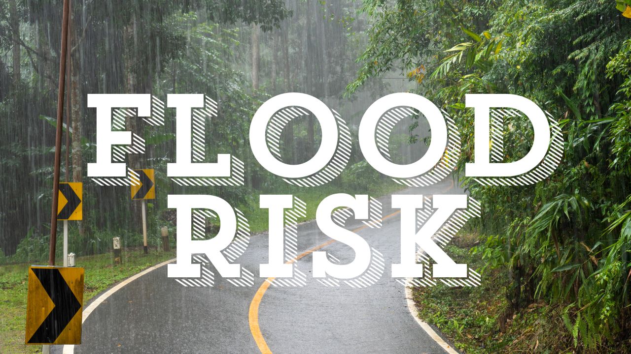
On Tuesday, July 29th, deadly heat and strong storms will combine across the Chicago metro, bringing extreme humidity and the possibility of flash floods just in time for the afternoon commute.
The Romeoville National Weather Service predicts that Tuesday after 2:00 p.m., there will be sporadic thunderstorms with the potential for strong winds, frequent lightning, and significant rainfall. Particularly in regions south of Interstate 80, some storms have the potential to become severe. As storm clusters form and move east, Tuesday night will see a limited risk of flooding.
Tuesday’s daytime highs will be close to 86°F, and the heat index will rise into the mid-90s due to humidity. Residents are advised to stay indoors as much as possible and to drink plenty of water. During intense downpours, stay away from low-lying roads and flooded underpasses, and make sure your mobile devices are charged.
During the nighttime trip, major roads like I-55 and I-294 may be affected by localized storms. More storms return in the middle of the week, but the threat subsides overnight.
On Lake Michigan beaches, high waves and hazardous swimming conditions are also anticipated on Wednesday and Thursday. Despite the possibility of calmer weather, there is still a high risk of flooding and thunderstorms through Wednesday.
Five-Day Forecast: Tuesday, July 29 – Sunday, August 3
- Tuesday: High 86°F, scattered thunderstorms after 2 p.m., storm chance 30%
- Wednesday: High 84°F, slight chance of storms early, becoming mostly cloudy, 20% chance after 7 p.m.
- Thursday: Mostly sunny, high 74°F — much cooler and drier
- Friday: Mostly clear, high near 75°F — ideal summer day
- Saturday-Sunday: Sunny and warm, highs in the upper 70s — perfect for outdoor plans