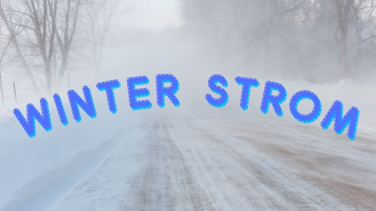
Boise, ID – The National Weather Service (NWS) in Boise has issued a forecast predicting light to moderate snowfall along Idaho Highway 21 between Boise and Stanley overnight Saturday into early Sunday morning. Snow accumulations between 1 and 3 inches are expected at the higher summits, prompting travel advisories for early-morning drivers.
The Forecast: Snow Returns to the Mountain Passes
According to the latest NWS snowfall projection, areas along Mores Creek Summit, Beaver Creek Summit, and Banner Summit are expected to receive 1–3 inches of snow between 12 a.m. and 6 a.m. MDT on Sunday.
Lower-elevation towns such as Idaho City and Lowman are likely to remain below the snow level, meaning little to no accumulation is expected in those communities.
Meteorologists say the storm system will bring intermittent snow showers across the higher passes, with the heaviest bursts likely to occur in the early morning hours before sunrise.
Travel Conditions and Safety Alerts
The Idaho Transportation Department (ITD) and the National Weather Service are urging motorists to prepare for slick or snow-covered roadways above 5,000 feet, particularly near the summits.
“Snow-covered or slushy roads may develop at elevations above 5,000 feet, making early-morning travel slick,” the NWS stated.
Drivers are encouraged to reduce speed, allow extra travel time, and check the Idaho 511 Travel Information website (511.idaho.gov) for live updates on road and weather conditions before heading into the mountains.
Authorities also recommend keeping winter emergency kits in vehicles, including blankets, flashlights, and food supplies, especially for those traveling through remote mountain passes during the night.
Weather Pattern and Snow Levels
Forecasters note that snow levels will rise again later Sunday morning as daytime temperatures increase. By midday Sunday, roads are expected to improve significantly, although patchy icy spots could linger on shaded sections of Highway 21 and nearby mountain roads through the early afternoon.
This snowfall event is part of a weak cold front moving across southern Idaho, bringing cooler temperatures and light precipitation before conditions stabilize Sunday afternoon. High temperatures are expected to climb into the upper 40s to low 50s across lower elevations, while mountain areas may stay in the 30s.
Local Impact and Winter Preparedness
The Idaho Highway 21 corridor is a well-traveled route for those heading toward Stanley, the Sawtooth Mountains, and local recreation areas, meaning even light snowfall can quickly affect travel conditions.
Local businesses and travelers in Idaho City, Lowman, and Stanley have been advised to prepare for overnight snow impacts and potentially delayed travel on Sunday morning.
Officials say this early-season snowfall serves as a reminder for drivers to begin winterizing vehicles and remain alert for future snow events as the region transitions deeper into fall.
Conclusion
While the snowfall totals are expected to remain light to moderate, drivers using Highway 21 overnight Saturday and early Sunday should be prepared for slippery conditions and reduced visibility at higher elevations. Road conditions will improve by midday Sunday as temperatures rise, but travelers are advised to remain cautious when crossing mountain summits and shaded curves along the route.
How are you preparing for the upcoming snowfall in Idaho? Share your experiences or travel tips in the comments below.