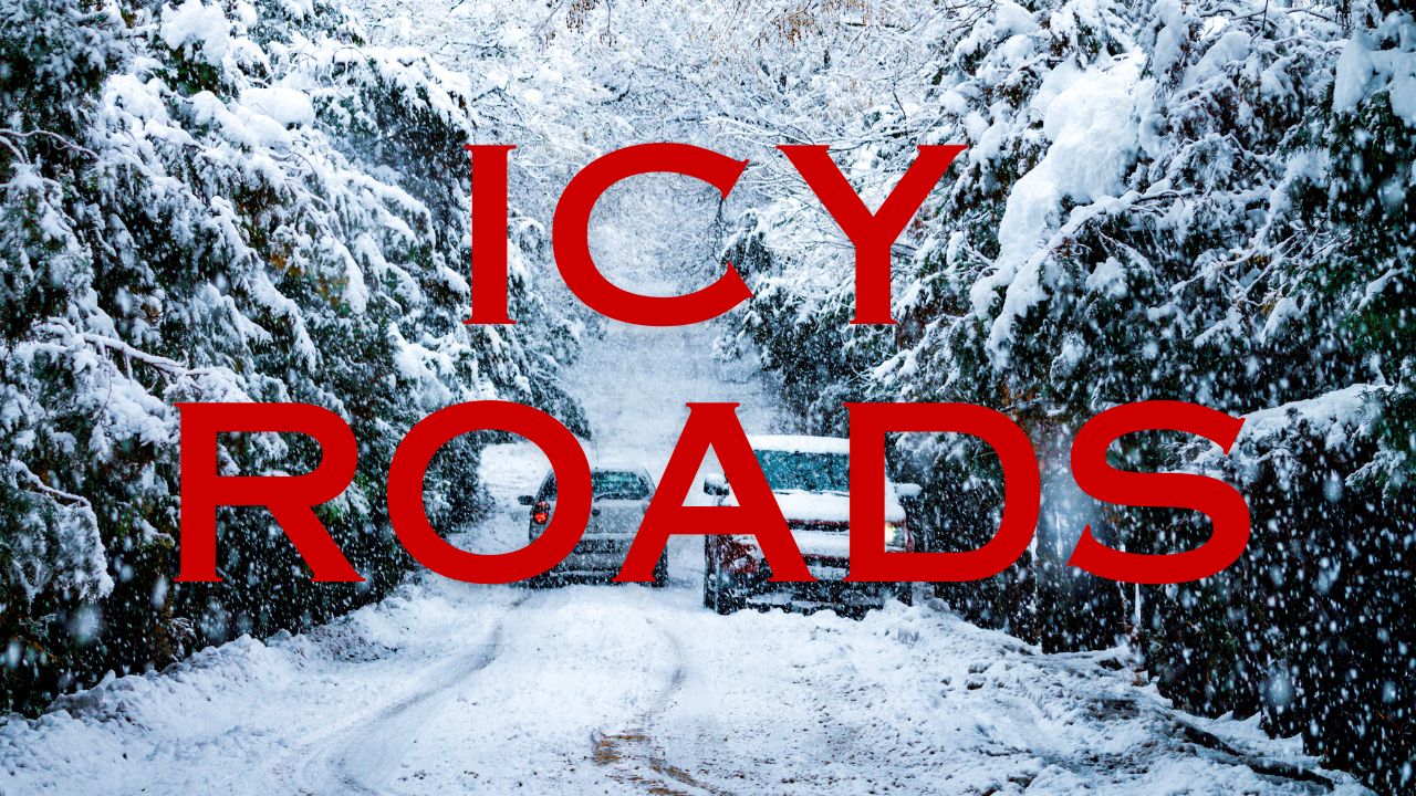
Johnstown, PA – Light freezing drizzle moving across the higher elevations of western Pennsylvania is expected to create potentially dangerous road conditions through early Wednesday morning, prompting weather concerns for commuters, overnight travelers, and anyone driving across ridge-top routes.
Forecast discussions from the National Weather Service indicate that temperatures hovering near the freezing mark, combined with lingering drizzle, may produce a thin but hazardous glaze of ice in elevated areas of Cambria and Somerset counties. While widespread icing is not anticipated, meteorologists warn that even a light coating can create sudden slick spots, especially on untreated roadways.
Developing Freezing Drizzle in Elevated Terrain
Forecasters explain that a band of rain is gradually weakening as it shifts eastward through the night. In most valleys and lower locations, temperatures remain just warm enough for plain rainfall. However, the elevated terrain surrounding Johnstown, Somerset, and the Laurel Highlands continues to sit near the freezing threshold.
This temperature profile increases the likelihood of freezing drizzle forming intermittently overnight. In these conditions, motorists may encounter:
- Rapidly forming patches of ice on exposed surfaces
- Slippery stretches on secondary back roads and rural hilltops
Even small amounts of ice can become a serious hazard, particularly for drivers not expecting sudden changes in traction.
Risk Areas Include Ridges, Bridges, and Rural Roads
The combination of drizzle, low clouds, and pockets of fog may also bring reduced visibility across ridge-top areas. Routes such as U.S. 219, the Pennsylvania Turnpike near Somerset, and local scenic back roads over elevated terrain could see the most challenging travel conditions.
Higher elevations tend to maintain colder surface temperatures overnight, meaning bridges, overpasses, and untreated rural stretches often freeze before main roads. This can leave drivers with limited time to react if they encounter icy patches unexpectedly.
NWS Warns of Localised Icing and Sudden Slick Spots
Meteorologists emphasise that even a trace amount of ice can cause issues for early-morning commuters, overnight workers heading to late shifts, and anyone travelling through mountain passes before sunrise.
In a discussion from the National Weather Service, forecasters noted:
“Even minor icing can create dangerous travel conditions, especially for early drivers and anyone navigating higher terrain.”
With precipitation staying light, the threat is not from accumulation but from glaze ice forming quietly and unpredictably. Drivers may think conditions are fine until hitting a colder stretch of road where the drizzle freezes instantly.
Timeline: When Conditions Improve
Temperatures are expected to rise slightly later Wednesday morning as the remaining moisture shifts eastward. Once readings climb above freezing across the higher terrain, any patchy ice should begin to melt, improving traction for mid-morning travellers.
Until then, road conditions may vary significantly from one location to another, especially between valleys and ridge tops. Motorists planning early commutes should allow extra time and remain prepared for changing surface conditions.
Safety Suggestions for Overnight and Early Drivers
With freezing drizzle among the most difficult hazards to detect, drivers are encouraged to follow several simple precautions to reduce risk:
- Travel slowly and allow additional stopping distance
- Avoid sudden braking or acceleration on suspected icy patches
Those unfamiliar with rural or elevated routes may want to delay travel until conditions improve later in the morning.
What This Weather Pattern Means for the Week
This event highlights the type of transitional November weather common across western Pennsylvania—where rain, freezing drizzle, fog, and fluctuating temperatures can combine to create unpredictable driving conditions. As the season progresses, similar temperature setups may bring additional overnight icing risks.
Forecast models indicate that after this system moves out, temperatures later in the week will trend slightly warmer during the day, with cooler nights remaining. This pattern can easily support additional episodes of freezing drizzle when moisture is present.
Share your experiences in the comments below.