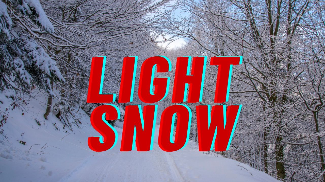
Easton, Washington – A Winter Weather Advisory issued Monday afternoon is warning residents and travelers of dangerous winter conditions expected to develop across the eastern slopes of the Washington Cascades, including Easton and Roslyn, starting Tuesday evening and lasting through Wednesday night.
According to the National Weather Service in Pendleton, the advisory will be in effect from 4 p.m. Tuesday until 10 p.m. PST Wednesday, with 6 to 10 inches of snowfall forecast across higher elevations along the Eastern Washington Cascades Crest. In addition to heavy snow, wind gusts up to 45 mph are expected, significantly reducing visibility and increasing the risk of hazardous travel.
Winter Weather Advisory Details
Forecasters say the most impactful conditions will occur at upper elevations in Kittitas County, particularly near Easton and Roslyn, areas commonly traveled by drivers crossing the Cascades. Snow is expected to intensify Tuesday night, with periods of moderate to heavy snowfall continuing into Wednesday.
Strong winds accompanying the storm may lead to blowing and drifting snow, creating near-whiteout conditions at times, especially along exposed ridgelines and mountain passes.
Advisory Upgrade Signals Increased Risk
The advisory was upgraded at 2:10 p.m. PST on Monday, reflecting increased confidence in both snowfall totals and wind strength. Meteorologists note that snowfall rates could become intense during peak periods, quickly covering roadways and making travel difficult even for well-equipped vehicles.
Small shifts in storm track or intensity could result in localized snowfall amounts exceeding forecasts, particularly in wind-prone areas.
Travel Impacts and Road Conditions
Transportation officials are urging motorists to exercise caution if travel is unavoidable. Drivers should expect:
- Snow-covered and icy roads
- Reduced visibility due to blowing snow
- Possible chain requirements
- Temporary road restrictions or closures if conditions deteriorate
Passenger vehicles and commercial trucks may face especially challenging conditions during overnight hours and early Wednesday.
Real-time road updates and pass conditions are available through the Washington State Department of Transportation, which continues to monitor the situation closely.
Safety and Preparedness Recommendations
Residents and travelers in affected areas are encouraged to take winter preparedness steps, including:
- Delaying non-essential travel during peak snowfall
- Carrying emergency supplies such as blankets, food, and water
- Checking tire tread and ensuring vehicles are winter-ready
- Allowing extra travel time and increasing following distances
Officials emphasize that conditions in the Cascades can change rapidly, and even short trips may become hazardous.
What to Expect Going Forward
Snowfall is expected to taper off late Wednesday evening as the system moves east, though lingering gusty winds and slick roads may persist beyond the advisory period. Forecasters recommend continuing to monitor updated forecasts and advisories as the storm unfolds.
Those living in higher elevations should prepare for potential disruptions and remain alert to additional warnings.
If you’re in the Easton or Roslyn area, or planning to cross the Cascades, stay weather-aware and prioritize safety. Share your experiences in the comments below.


