Des Moines, IA – Central Iowa is preparing for its first impactful winter storm of the season, with forecasters warning that 4 to 7 inches of snow could blanket the region from Saturday evening into early Sunday. The developing system is expected to bring rapidly deteriorating travel conditions, reduced visibility, and slow cleanup on Sunday morning.
Storm Setup and Expected Timeline
The National Weather Service in Des Moines has issued a Winter Storm Watch for Saturday evening through late Saturday night. The alert covers Polk, Story, Jasper, Marshall, Black Hawk, and Tama counties, where the heaviest snow bands are likely to form.
Snow is projected to begin around sunset Saturday, intensify through the late evening hours, and gradually taper off after 3 a.m. Sunday.
Temperatures will remain close to the freezing mark during the height of the storm, which allows snow to accumulate quickly on untreated roads, sidewalks, bridges, and overpasses. By dawn Sunday, colder air is expected to drop readings into the low 20s, preserving any snow that falls.
Travel Concerns Across Major Highways
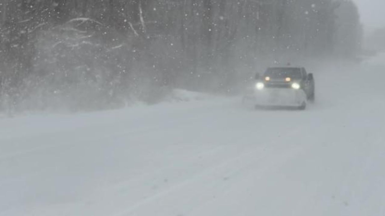
The Iowa Department of Transportation cautions that rapidly accumulating snow will likely make travel dangerous on several key corridors.
The greatest hazards are expected along:
- I-35
- I-80
- Highway 20
Winds near 20 mph may also lead to brief whiteout conditions, especially in rural and open areas where blowing snow can significantly reduce visibility.
Officials say the most treacherous window for motorists will be 8 p.m. to 3 a.m., when snowfall rates could become moderate to heavy at times. Anyone traveling late Saturday night is urged to reconsider plans or allow substantial extra time.
Widespread Impact Across Central Iowa Communities
Cities likely to feel the storm’s full impact include Des Moines, Ames, Waterloo, and Newton. Local authorities are advising residents to prepare now by:
- Ensuring vehicles have emergency kits
- Keeping phones and devices fully charged
- Planning for possible delays on Sunday morning
- Giving plows space to operate overnight and early Sunday
The late-night timing of the system may cause disruptions for weekend events, late shifts, and early-morning travel plans. Plow crews expect to be active overnight, but road conditions may remain slick into early Sunday.
What Forecasters Expect from This System
Meteorologists say forecast confidence is increasing that the storm’s core will track directly across central Iowa, positioning the region for several hours of steady snow.
According to early projections, snowfall totals could reach the 4–7 inch range, with locally higher amounts possible where intense bands set up.
NWS meteorologists note that, despite temperatures hovering near 32°F at the start, colder air will quickly deepen overnight, improving snow ratios and allowing accumulation to accelerate.
Staying Prepared Through the Weekend
Residents are encouraged to monitor updated forecasts as the system approaches. Because this is the first widespread winter storm of the season, officials stress the importance of preparing ahead rather than reacting once conditions worsen. Even moderate snowfall can cause significant slowdowns on busy roads when accompanied by evening traffic and falling temperatures.
Snow removal efforts are expected to take place before sunrise Sunday, though sidewalks and neighborhood streets may remain icy until treated.
Conclusion
As central Iowa braces for this developing storm, staying alert to weather updates and adjusting travel plans will be essential for safety. Conditions may worsen quickly after sunset Saturday.
Have you experienced major early-season snow events in Des Moines before? Share your observations and preparedness tips in the comments below.