Omaha, NE – Drivers and residents across eastern Nebraska and western Iowa are facing hazardous weather conditions this morning as the National Weather Service (NWS) in Omaha has issued a Dense Fog Advisory and Freeze Warning in effect until 10 a.m. CDT. The combination of thick fog and freezing temperatures is creating dangerous driving conditions and potential damage risks for crops and outdoor plumbing.
The Weather Event: Dense Fog and Early-Morning Freeze
The National Weather Service reported that visibility could drop to one-quarter mile or less in several areas across the region. Temperatures are expected to fall to around 30°F, with freezing conditions posing a threat to sensitive plants, crops, and exposed water lines.
The Dense Fog Advisory and Freeze Warning were issued late Wednesday night and remain in effect through 10 a.m. Thursday, impacting travel and outdoor safety across both Nebraska and Iowa.
Affected Counties and Cities
According to the NWS Omaha office, the Dense Fog Advisory includes the following Nebraska counties:
- Douglas, Sarpy, Dodge, Washington, and Saunders
In Iowa, the advisory affects Monona, Pottawattamie, Harrison, and Shelby counties.
Major cities under the advisory include Omaha, Bellevue, Fremont, Council Bluffs, and Wahoo, all expected to experience limited visibility and subfreezing conditions during the morning hours.
Safety Concerns for Motorists
Officials warn that dense fog and freezing temperatures can create slick spots on bridges, overpasses, and untreated roads. Patchy ice may also develop where moisture accumulates and freezes overnight.
“Motorists should slow down, use low-beam headlights, and increase following distance,” the NWS advised. “Visibility may change rapidly within a short distance, especially in rural or low-lying areas.”
Commuters are encouraged to delay travel if possible until after the advisory expires, as road conditions are expected to gradually improve by mid-morning once temperatures rise.
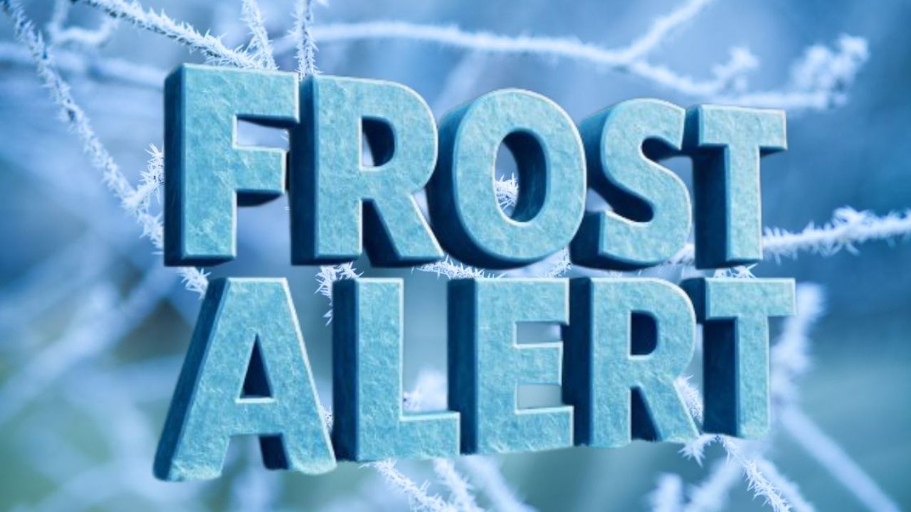
Impact on Agriculture and Property
The Freeze Warning brings added concern for farmers and gardeners. Crops and outdoor vegetation may suffer damage from prolonged exposure to temperatures near freezing. The NWS recommends that residents:
- Cover plants or move them indoors where possible
- Disconnect outdoor hoses and protect exposed plumbing
- Bring pets inside during early morning hours
Failure to take precautions could result in frost damage to vegetation and cracked pipes due to ice expansion.
Improving Conditions Expected by Late Morning
Meteorologists expect the fog to gradually lift after 9 a.m., as sunlight warms surface air and disperses low-level moisture. By late morning, visibility should return to normal, and temperatures will rise above freezing.
However, the NWS cautions that cold overnight conditions may return later in the week as autumn weather patterns continue to shift across the Midwest. Residents should stay alert for additional advisories or frost warnings in the coming days.
Conclusion
Residents and commuters in eastern Nebraska and western Iowa are urged to take extra precautions through Thursday morning as dense fog and freezing temperatures create potentially dangerous conditions. Authorities stress that slower driving, early preparation, and patience will help prevent accidents and property damage during this short but impactful weather event.
What are conditions like in your area this morning? Share your updates and experiences in the comments below.