New York – With millions of Americans returning home after the holiday week, a powerful winter storm sweeping across the Northern Tier is expected to disrupt travel through Tuesday, bringing snow, ice, rain, and intense winds. Blizzard Warnings are already in effect for parts of Minnesota and Wisconsin as the rapidly strengthening system expands eastward, according to the FOX Forecast Center.
Blizzard Conditions and Hurricane-Force Winds Reported
The storm, which originated in the Midwest, has already produced dangerous conditions across several states. Portions of the Northern Tier have seen multiple inches of snow combined with strong winds, and impacts are expected to intensify as the system tracks toward the Northeast.
Forecasters reported hurricane-force wind gusts reaching 79 mph in Buffalo on Monday, the strongest recorded there since 1980. Meteorologists say the storm’s rapid intensification has tightened the pressure gradient, resulting in exceptionally powerful winds across a wide region.
Midwest Hit Hard by Snow, Ice, and Major Accidents
As the deepening low-pressure system continues east, it is delivering a mix of rain and snow while ushering in much colder air behind it. Snow accumulations of 5 to 8 inches are expected in many areas, but shifting winds over the northern Great Lakes are triggering intense lake-effect snow that could push totals into the feet in some locations.
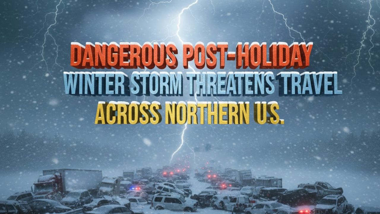
In Michigan, dangerous road conditions led to a massive pile-up involving at least 50 vehicles, including multiple semi-trucks, on Interstate 75 near Detroit on Monday.
State of Emergency Expanded in New York
The New York State Department of Transportation announced that the State of Emergency has been expanded due to ongoing lake-effect snow and high winds.
Transportation officials warned of hazardous travel and near whiteout conditions across Western New York, the Finger Lakes, Central New York, and the North Country. Residents are being urged to avoid unnecessary travel and work from home if possible.
Power Outages and Transportation Disruptions Widen
Wind gusts exceeding 60 mph have already been reported across parts of the Plains and Upper Midwest. As a result, more than 350,000 customers nationwide have lost power, with Michigan accounting for over 115,000 outages.
In New York City, extremely high winds forced the closure of the Bay Ridge ferry landing, further disrupting regional transportation. Blizzard conditions in Iowa also caused another pile-up involving more than a dozen vehicles on Interstate 35.
Northeast Faces Rain, Ice, and High Winds
Ahead of the cold front, rain is spreading across much of the Northeast, including the I-95 corridor, where temperatures remain mostly above freezing, limiting widespread snow. However, northern New England and higher elevations of the interior Northeast are seeing frozen precipitation early, which is expected to transition quickly to rain.
Forecasters warn that icing is likely where cold air remains trapped, particularly at higher elevations in New England. Winter Weather Alerts have been issued across much of the region, with ice accumulations of up to a quarter-inch possible.
Lake-Effect Snow Expected to Intensify After the Front
Behind the system, winds will pivot to the northwest, allowing a surge of colder air to pour in. This setup is expected to trigger significant lake-effect snow downwind of Lakes Erie and Ontario.
Parts of Western New York and the Tug Hill Plateau could see snowfall totals exceeding one foot through Tuesday, while gusty winds—up to 40 mph in the Northeast and 60 mph in the Midwest—may lead to additional power outages as the storm continues to move east.