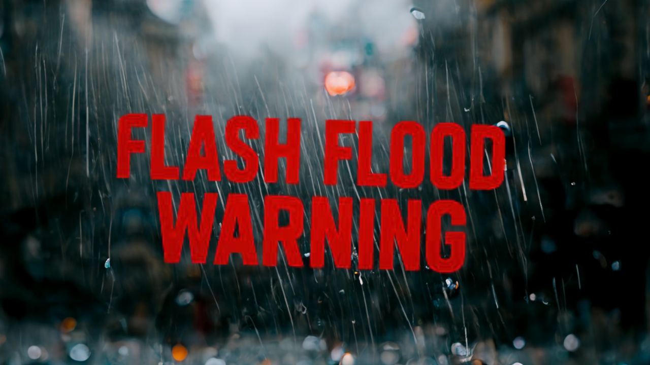
Tallahassee, FL.- Tallahassee and North Florida will have to deal with stifling heat and frequent thunderstorms until at least Monday night. Heat index values will be above 105°F, and there is a constant risk of flash flooding.
The National Weather Service says that showers and thunderstorms will get worse by Saturday afternoon. Late Saturday and Sunday will probably have a lot of rain. Some storms can bring damaging wind gusts, flooding in some areas, and a lot of lightning, especially at night. From Saturday night through early Monday morning, the biggest threats are likely to happen.
Leon, Gadsden, and Wakulla counties should get ready for power outages and roads that change quickly. Some major roads, like I-10 and U.S. 319, could have poor visibility and water pools. People are being told to stay hydrated, limit their time outside during the hottest parts of the day, and secure any outdoor items that could become projectiles in strong winds.
Storms are expected to last into Tuesday, and the heat index will stay dangerously high because of the high humidity. Strong storms are likely to come again by the middle of the week. Keep an eye on weather alerts and be ready for more as the situation changes.
Five Day Forecast for Tallahassee, FL:
- Saturday: Mostly sunny, storms likely after 2 p.m. High 95°F. Heat index up to 105°F.
- Sunday: Showers and thunderstorms likely, mainly after 11 a.m. High 95°F. Heavy rain possible.
- Monday: Showers and thunderstorms, some severe. High 89°F.
- Tuesday: Thunderstorms likely, continued humid. High 91°F.
- Wednesday: More storms possible, high near 92°F. Elevated humidity continues.