Blacksburg, VA – The National Weather Service in Blacksburg is urging residents and travelers across southwest Virginia, southeast West Virginia, and northwest North Carolina to be prepared for slippery and potentially dangerous travel conditions overnight as temperatures stay below freezing.
Forecasters report that subfreezing temperatures will persist through early Saturday, allowing leftover moisture from recent melting snow to refreeze on untreated roads, bridges, and sidewalks. This setup is expected to create widespread black ice, especially across higher elevations and sheltered valleys.
Where Conditions Will Be Most Hazardous
The advisory covers several key communities across the region, including Roanoke, Blacksburg, Bluefield, Boone, Wilkesboro, Bedford, Lewisburg, and Lexington. Mountain corridors along the Blue Ridge and Alleghany Highlands are expected to face the most significant icing risks, where temperatures may stay below freezing for a longer duration.
According to the National Weather Service, travel early Saturday morning will require extra caution due to both refreezing moisture and areas of patchy fog, which may reduce visibility in some locations.
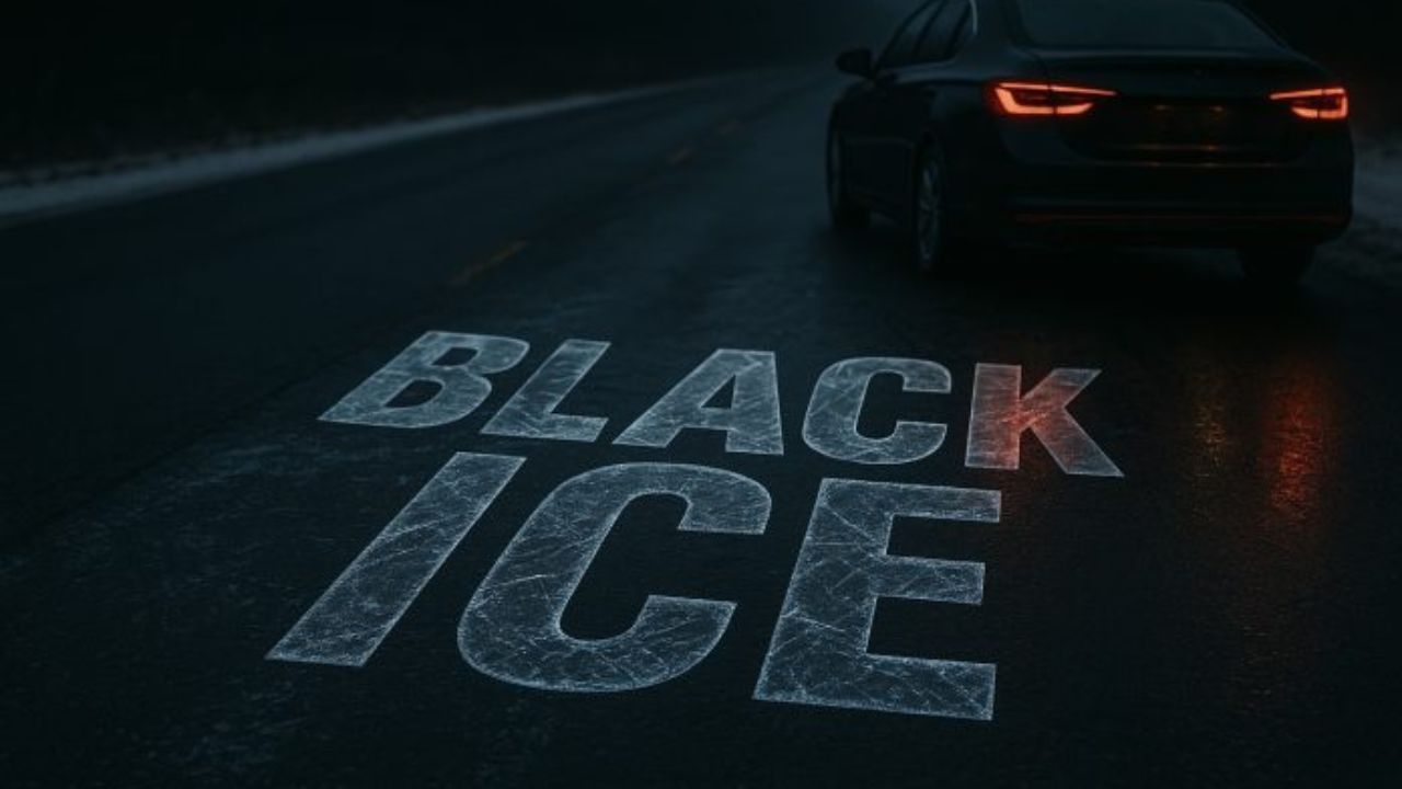
Why Black Ice Is a Significant Threat Overnight
Black ice forms when a thin layer of moisture freezes into a nearly invisible glaze, often blending in with the roadway surface. Because drivers usually cannot see it, black ice contributes to sudden loss of control, skidding, and an increased risk of accidents on:
Bridges and overpasses
Shaded road segments
Mountain passes and steep grades
Secondary roads that remain untreated
Forecasters emphasize that even areas that appeared clear during the day can become treacherous after sunset.
What Drivers Should Expect Through Saturday Morning
Meteorologists expect the coldest period to occur past midnight into early Saturday. During this time, untreated roads may become slick without warning. In addition, patchy fog developing overnight could reduce visibility in valleys and along ridge tops, creating a double hazard for early commuters.
Conditions should gradually improve by late Saturday morning as temperatures rise above freezing and fog begins to dissipate. However, shaded mountain routes could remain icy for longer.
Safety Steps Recommended by Officials
The National Weather Service and local transportation officials are urging drivers to take precautions:
Reduce speed significantly, especially on rural or elevated roads.
Increase following distance to allow more time for braking.
Avoid sudden braking or acceleration, which increases the risk of skidding.
Use low-beam headlights if fog develops.
Check road conditions before traveling in elevated areas.
Local agencies will continue to monitor the situation through Saturday morning, and updates will be issued if conditions worsen.
Additional Weather Outlook for the Weekend
Temperatures are expected to moderate slightly on Saturday afternoon, bringing some relief from widespread icing. Another weak system could bring light precipitation later in the weekend, though forecasters note that any new moisture may again create icy patches if temperatures fall overnight.
Residents in mountain regions should continue staying updated through local forecasts as winter conditions persist into early next week.
Conclusion
Drivers across Virginia, West Virginia, and North Carolina mountain regions should prepare for a challenging overnight period as black ice and fog combine to create hazardous travel conditions. With subfreezing temperatures expected for several hours, officials urge everyone on the road to slow down and remain alert until conditions improve Saturday.
If you’ve encountered icy road conditions or delays in your area, share your experience in the comments below.