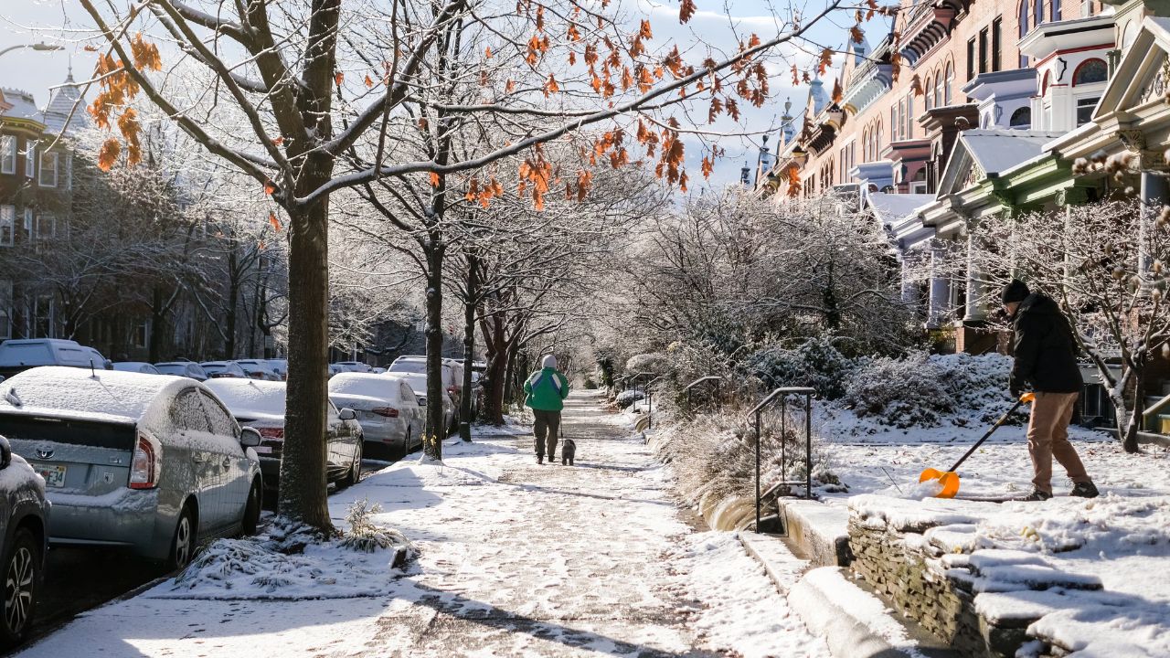
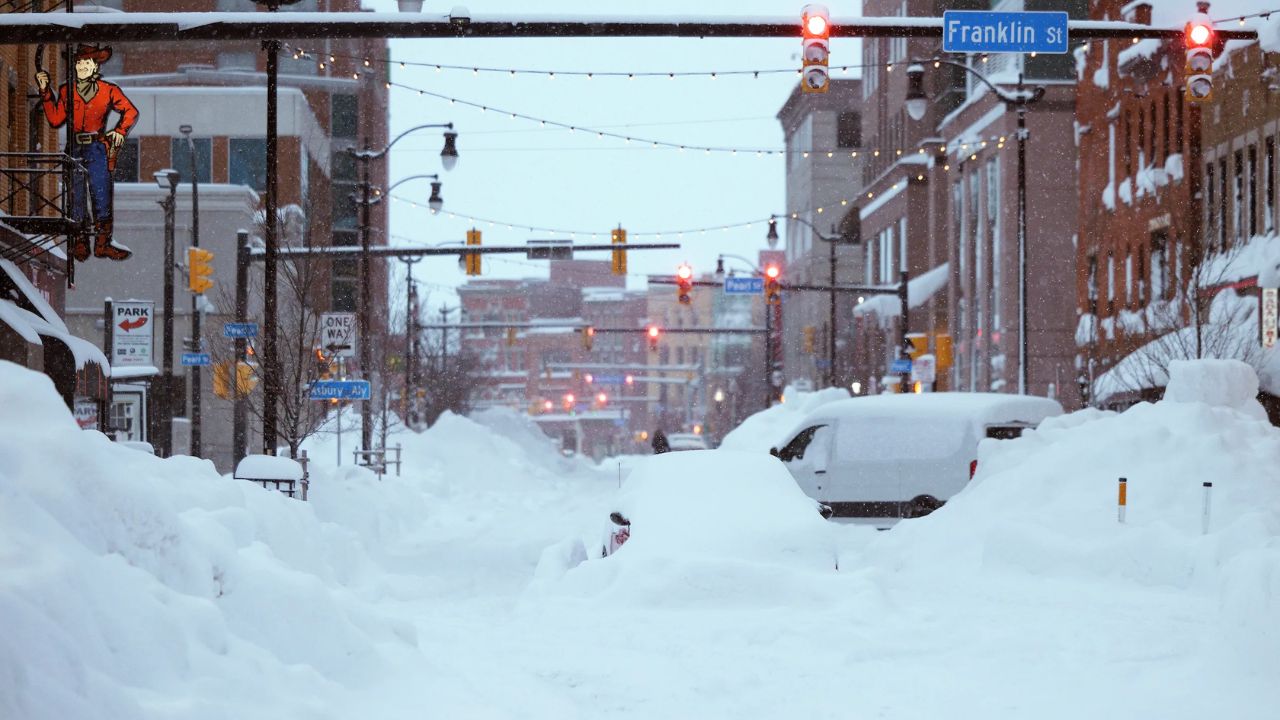
The first weekend of 2026 is shaping up to be mostly cloudy and cold across Maryland, with a few passing flurries possible before a noticeable warm-up arrives next week. While winter conditions remain firmly in place through Sunday, a significant shift in the national weather pattern will bring milder air to the Mid-Atlantic as the new week progresses.
Chilly Friday Evening Across the Baltimore Metro
A cold Friday evening has settled in across the Baltimore metro area. Temperatures are dropping back into the 20s, and a light breeze is adding an extra bite to the air. Skies start out mostly clear early in the evening, but clouds steadily increase after midnight.
Anyone heading out tonight will want to bundle up, as wind chills will make it feel colder than the thermometer suggests. Despite the cold, conditions stay dry through the overnight hours with no precipitation expected.
Mostly Cloudy and Cold to Start Saturday
Saturday begins under a thick blanket of clouds, with morning temperatures in the low to mid-20s across much of the state. As the day goes on, temperatures slowly climb into the low and mid-30s by mid-afternoon, though it will still feel wintry.
Maryland finds itself caught between two weather systems on Saturday. One storm system tracks to the north, while another remains to the south. Because the state sits between these systems, significant impacts are unlikely.
Scattered Flurries Possible Saturday Night
While no major winter weather is expected, the setup could allow for a few scattered flurries or very light snow showers late Saturday. The best chance for seeing flakes in the air will be between about 8 p.m. Saturday and 2 a.m. Sunday, mainly across central and northern parts of the state.
Any snow that does fall is expected to be light and brief, with no accumulation anticipated. Roads should remain unaffected, though occasional flurries may reduce visibility for short periods.
Gusty and Cold Conditions Continue Sunday
Sunday stays cold, with a gusty northwest wind reinforcing the chilly feel. Clouds will linger, and temperatures remain below seasonal averages. While skies may brighten at times, the wind will keep it feeling brisk throughout the day, especially during the morning hours.
January Thaw Begins Next Week
The first full week of the new year starts on a seasonably cold note. Monday brings plenty of cloud cover and afternoon highs in the mid to upper 30s. A few snow flurries are possible north of Interstate 70, but once again, no accumulation is expected.
A gradual warm-up begins Tuesday, with temperatures trending upward. The most noticeable change arrives Wednesday into Thursday, when high temperatures climb into the 50s across much of Maryland. This milder air looks likely to stick around into next weekend.
Mostly Dry, With Rain Chances Late Week
The weather pattern next week remains mostly dry through Thursday. By late Thursday into Friday, a round or two of rain showers is expected as the warmer air interacts with a passing system. Rainfall appears manageable at this point, with no major impacts anticipated.
The January thaw is expected to last into the middle of the month before colder and potentially stormier conditions return to the Mid-Atlantic. For now, enjoy the brief taste of milder weather after a cold start to the new year.


