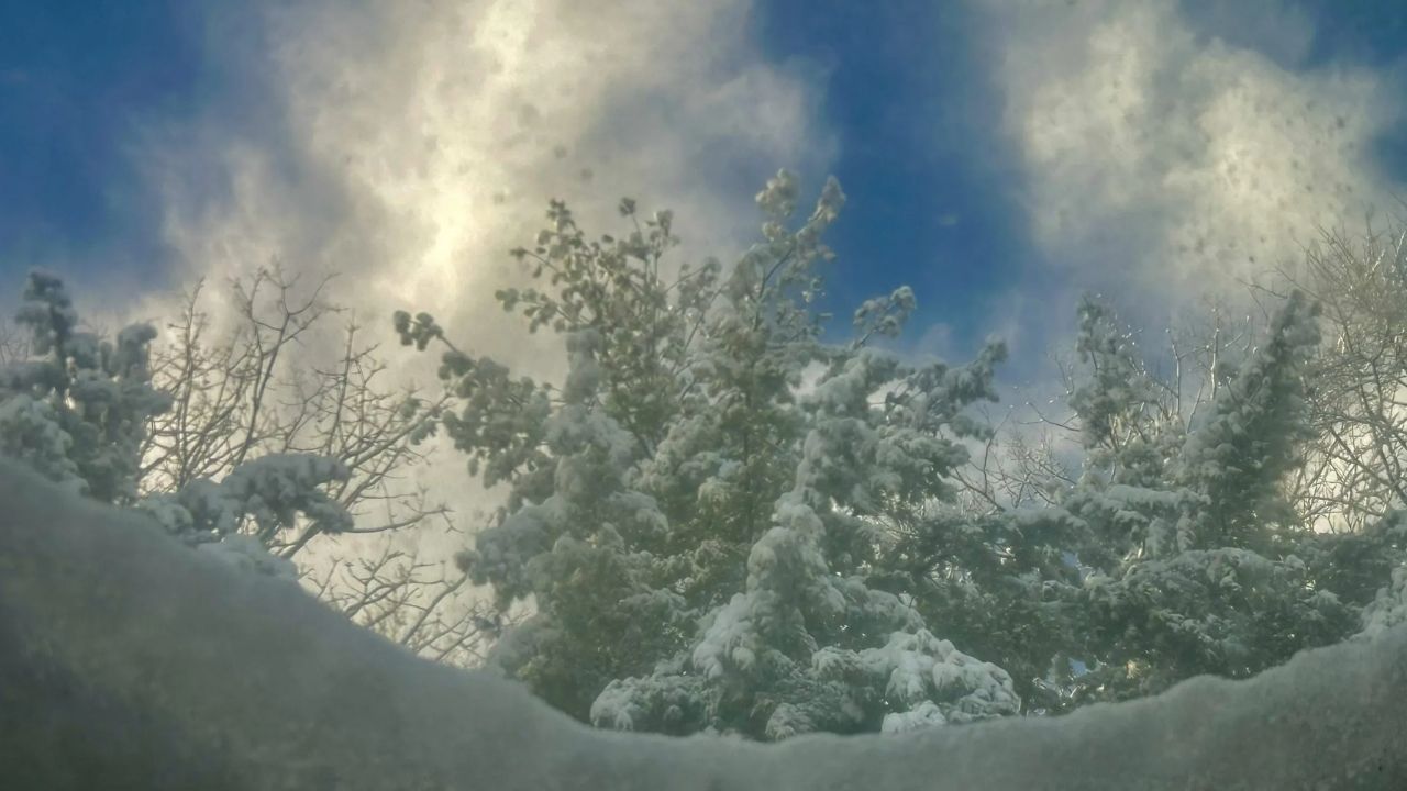
Blacksburg, Virginia – Residents across the Blacksburg region and surrounding areas of southwest Virginia will see a gray and unsettled start to the weekend as clouds and scattered rain showers move through the area today. Conditions are expected to improve noticeably by Sunday as drier air settles in.
According to the National Weather Service, a low-pressure system tracking south of the region is responsible for today’s cloud cover and periodic light showers. Rain activity will be scattered rather than widespread, and forecasters expect precipitation to taper off gradually by tonight.
Today’s Weather: Cool, Cloudy, and Damp at Times
Temperatures this afternoon will remain on the cool side, with highs ranging from the upper 30s to the upper 40s across southwest Virginia. While steady rain is not expected, passing showers may briefly reduce visibility and create damp road conditions, especially during the afternoon and early evening hours.
Drivers are advised to use caution on wet roads, particularly in higher elevations where temperatures may hover near the colder end of the forecast range.
Sunday Brings Sunshine and Dry Conditions
High pressure builds into the region on Sunday, allowing skies to clear and sunshine to return. Sunday’s highs will range from the mid-30s in cooler mountain locations to the lower 50s in lower elevations. Overnight temperatures will drop into the lower 20s to lower 30s, typical for early winter conditions in the region.
The dry and calmer weather will provide a welcome improvement for outdoor plans, travel, and community events following today’s unsettled conditions.
Mild and Dry Pattern Continues Into Monday
Monday is expected to remain mostly sunny and dry, with a slight warming trend developing. Afternoon highs will climb into the lower 40s to lower 50s, while nighttime lows again fall into the 20s and lower 30s. Winds should remain light, adding to the more comfortable feel compared to today.
Looking Ahead: Gradual Warming Into Early 2026
Forecasters note that temperatures will stay close to seasonal norms in the short term. However, a gradual warming trend is expected to take shape during the first full week of 2026, bringing more mild afternoons to the region.
Residents are encouraged to keep an eye on updated forecasts as conditions evolve next week, especially for any changes in temperature trends or precipitation chances.
For now, patience will pay off, as today’s clouds and showers give way to a brighter, drier stretch of winter weather starting Sunday.