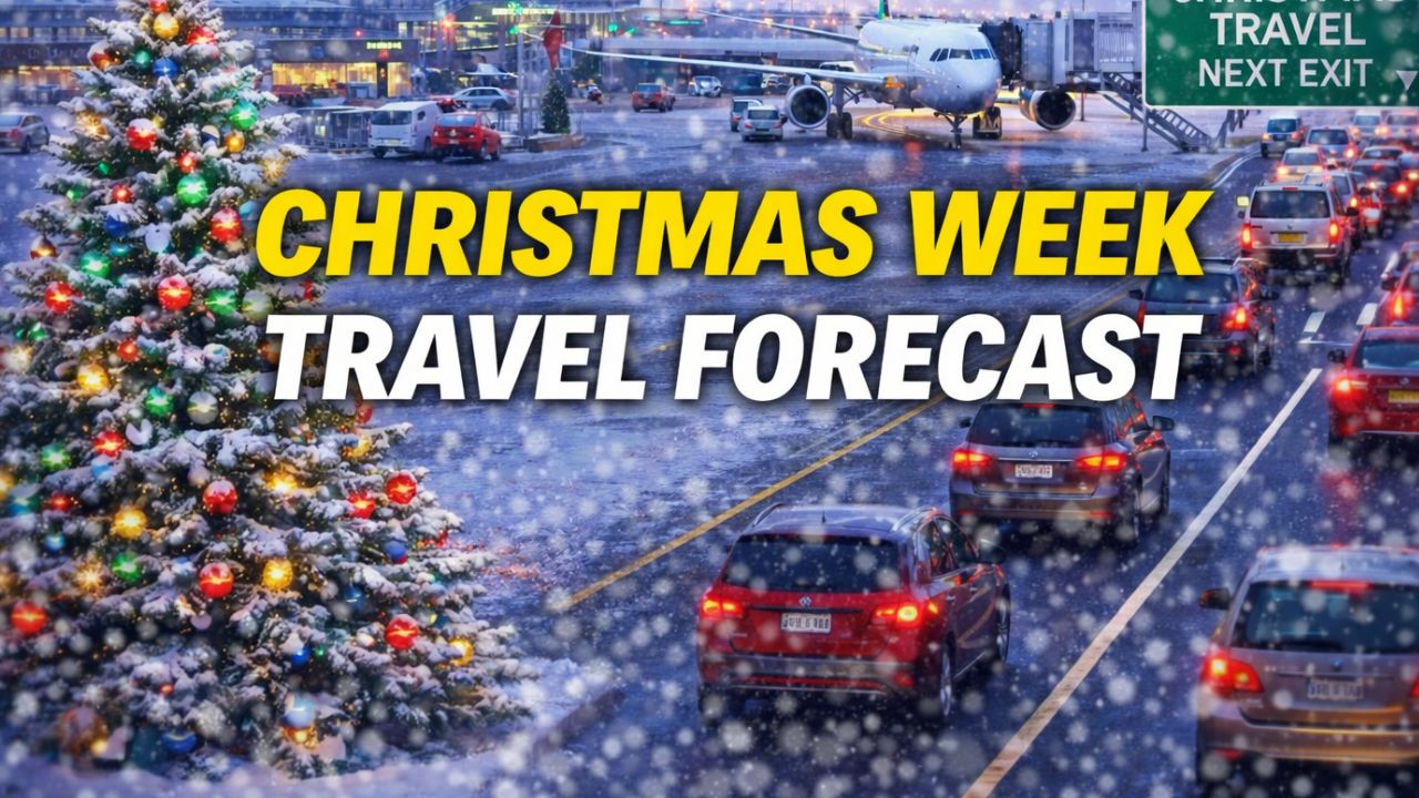
United States — Christmas week will bring a sharp divide in weather conditions across the country, with major travel disruptions expected on the West Coast while much of the central and southern U.S. experiences unusually warm holiday temperatures.
Meteorologists say wintry weather will retreat from many regions, setting the stage for one of the warmest Christmas weeks on record in several states. However, pockets of snow, ice, and heavy rain will still pose challenges for travelers in specific areas.
Why cold and snow are limited this week
The strengthening polar vortex is keeping the coldest air locked over Canada, pushing the primary storm track closer to the U.S.-Canada border. As a result, widespread snow is expected to remain mostly north of the border rather than across the central and eastern United States.
Still, brief intrusions of cold air paired with fast-moving systems known as clipper storms may bring periods of snow and ice to the northern tier of the Midwest and Northeast through Christmas Day.
“A somewhat larger clipper storm will affect parts of the Upper Midwest and Northeast from Monday to Tuesday,” meteorologists said.
While snowfall amounts are expected to remain light, even small accumulations could create slippery travel conditions.
Northeast travel concerns peak Tuesday
Tuesday is shaping up to be the most disruptive travel day of the week for parts of the Northeast. Areas from northern Pennsylvania’s Pocono Mountains through upstate New York and into central and northern New England could see snow or a brief icy mix before warmer air returns.
Farther south in the region, travel issues are more likely to stem from rain, drizzle, and patchy fog, particularly along the Gulf Coast and into the Ohio Valley.
There is also a small chance of a wintry mix returning on Christmas Day for parts of the interior Northeast, though forecasters say any snow would likely be limited to northern New York and northern New England, where cold air is more likely to hold.
California faces the most severe impacts
The most widespread and impactful weather of the week will unfold on the West Coast, especially in California. After weeks of avoiding the storm systems that drenched the Pacific Northwest, California is now directly in the path of multiple incoming systems.
From this weekend through Christmas week, rounds of heavy rain are expected across much of the state. Forecasters warn of urban flooding, small-stream flooding, and possible river flooding, particularly in areas with poor drainage or recent burn scars.
Rainfall totals will be highest along west- and southwest-facing mountain slopes, where several inches of rain could fall over a short period.
Travel impacts will extend beyond roadways, with flight delays and cancellations possible at major airports in Los Angeles and San Francisco. These disruptions could ripple across the national air travel network during one of the busiest travel periods of the year.
Mountain snow adds to travel challenges
In the Sierra Nevada, and to a lesser extent the Cascades, multiple feet of snow are expected at higher elevations. Snow levels may dip low enough at times to impact mountain passes, complicating travel along major routes.
While the snowfall is welcome news for ski resorts and winter recreation, officials caution that excessive snowfall could temporarily block access roads and slow travel.
Unseasonable warmth across the central and southern U.S.
Away from the West Coast and Northeast, a dramatically different weather pattern will dominate. From Texas through Kansas, Missouri, and into parts of the Southeast, temperatures are expected to climb to levels more typical of spring.
Widespread highs in the 70s and 80s could challenge daily temperature records on Christmas Eve and Christmas Day, making this one of the warmest Christmas weeks on record for at least a dozen states.
Ahead of this warm surge, moisture from the Gulf of Mexico will bring low clouds, fog, and drizzle to parts of the Gulf Coast, Ohio Valley, and possibly portions of the Northeast as the week progresses.
Despite the warmth, travelers are advised to stay alert for reduced visibility and slick roads in areas affected by fog or light rain.
How is Christmas week weather affecting your travel plans this year? Share your experience and location in the comments.