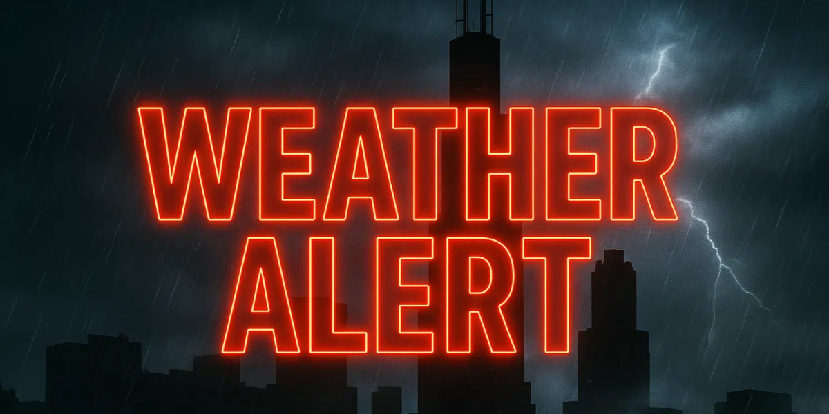
It is expected that severe thunderstorms will strike Chicago and the I-290 corridor on Wednesday, July 30. Commuters and beachgoers should be on high alert because of this expected weather event. There is a summer weather alert that has been issued for the region, and it is anticipated that everyday routines will be disrupted due to the presence of destructive winds of up to sixty miles per hour, the possibility of flash flooding, and unsafe swimming conditions.
After seven o’clock on Wednesday morning, a cluster of intense thunderstorms is expected to move through the Chicago metropolitan area and the counties that surround it, as reported by the National Weather Service in Romeoville. It is possible that torrential downpours would create quick flooding on important routes, such as Interstate 290 and Interstate 55, as well as surface streets throughout Cook and DuPage counties. During the morning and midday hours, everyone who is outside or traveling will be at risk of being struck by lightning and experiencing high winds. In the event that there is a power outage, residents are strongly encouraged to stay away from flooded intersections, to never drive through high water, and to keep their cell phones charged.
It is anticipated that severe waves and rip currents will be present along the shoreline of Lake Michigan from Wednesday through Thursday, which will result in a high risk of swimming and the possibility of beach closures. Swimmers are cautioned by lifeguards to remain out of the water until the circumstances for swimming improve.
There is a possibility that showers and storms may continue to occur throughout Thursday morning before the weather begins to clear up. Beginning on Friday, August 1st, there will be a return of bright sky and temperatures that are milder, providing a little reprieve before the weekend arrives.
Five-Day Detailed Forecast: Chicago, IL
Wednesday, July 30:
- Strong thunderstorms likely after 7 a.m., high 77°F. Damaging wind, torrential rain, and local flooding risk. High swim risk on Lake Michigan.
Thursday, July 31:
- Showers and storms possible early, then clearing. High 73°F. Dangerous beach conditions continue into the morning.
Friday, August 1:
- Sunny, pleasant, high near 73°F. Great day for outdoor plans.
Saturday, August 2:
- Mostly sunny, high 75°F. Dry and warm for summer activities.
Sunday, August 3:
- Partly sunny, high 77°F. Chance of showers and thunderstorms late.
Monday, August 4:
- Partly sunny, high 79°F. Scattered storms possible.