Springfield, IL – Central Illinois residents should brace for near-record heat through the weekend, coupled with elevated fire risk, before a cold front brings cooler temperatures and potential storms early next week, according to the National Weather Service.
Weekend Temperatures Remain High
Forecasters reported Friday that highs will stay in the upper 80s to near 90 degrees through Monday. While isolated showers may appear Friday afternoon, the main rainfall is expected late Monday into Tuesday as a cold front moves across the region.
The prolonged heat is unusual for early October, with meteorologists describing it as “near-record warmth.” Residents are advised to stay hydrated and limit outdoor exposure during the hottest parts of the day.
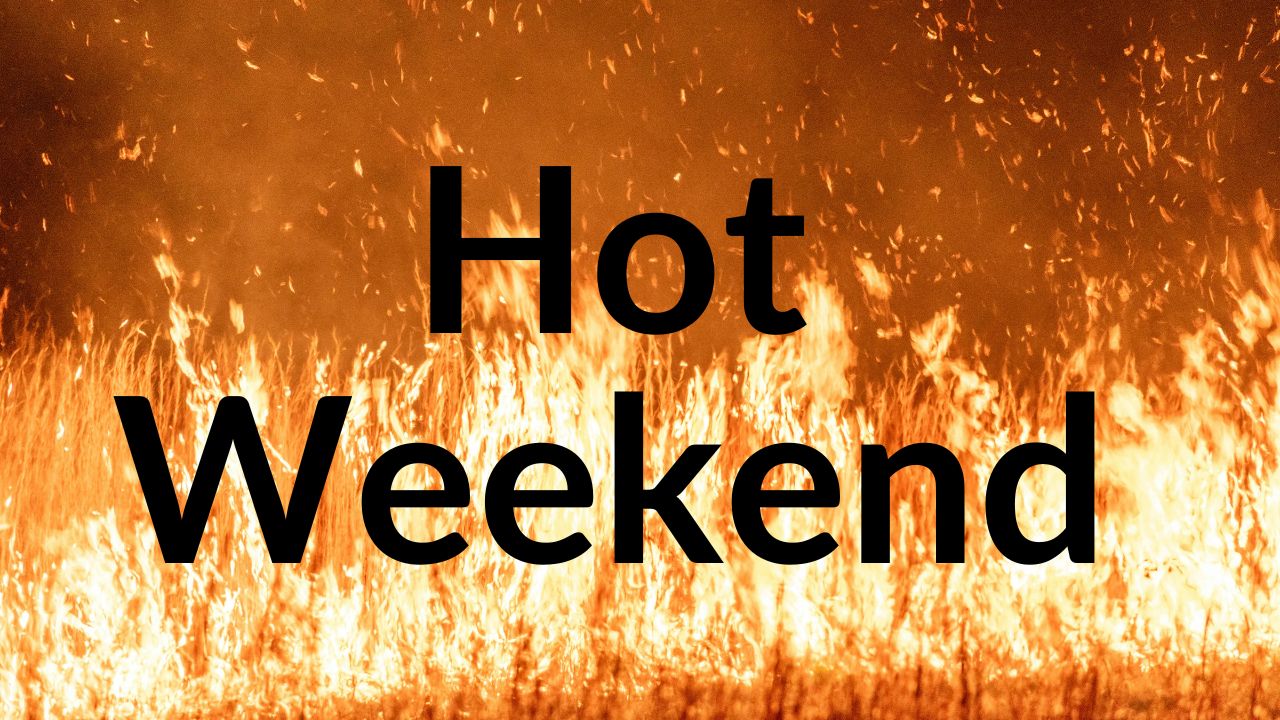
Fire Risk Elevated Over the Weekend
The National Weather Service in Lincoln warned of an elevated fire risk this weekend due to dry conditions and gusty winds.
“Residents should use caution with outdoor burning and equipment that could spark fires,” officials said.
Local authorities emphasize extra vigilance, particularly for homeowners managing yard work, grilling, or open flames.
Five-Day Outlook Shows Cooling Trend
The five-day forecast indicates:
- Friday: Highs 87–90°F
- Weekend: Slight easing to mid‑to‑upper 80s
- Tuesday: Temperatures drop to low 70s–low 80s, signaling a shift toward cooler fall weather
Meteorologists note that brief showers may occur ahead of the cold front, but most meaningful rainfall is expected Monday night and Tuesday.
What This Means for Residents
After nearly a week of unseasonably high temperatures, the upcoming cooldown will likely be a welcome relief. Residents should:
- Monitor local weather updates
- Limit outdoor activities during peak heat
- Be cautious with fire hazards
This weekend’s weather highlights the importance of preparedness as Central Illinois transitions from late-summer warmth to early fall conditions.
Stay informed and share your experiences with neighbors or on local community boards to ensure everyone remains safe this weekend.