Sacramento Valley, California — Northern California is being hit by a prolonged and dangerous winter storm pattern just as Christmas week begins, bringing flooding rain to valleys and foothills and major snow accumulation in the Sierra Nevada. Forecasters warn that the combination of saturated ground, gusty winds, and dropping snow levels could create hazardous conditions for residents and holiday travelers alike through Christmas Day.
Officials say impacts are already being felt across the northern Sacramento Valley, where heavy rainfall over the weekend triggered roadway flooding and emergency responses. The storm system is expected to intensify midweek, increasing risks of mudslides, power outages, and extended travel disruptions.
Storm Timeline and Key Impacts Across Northern California
Sunday Through Monday: Heavy Rain and Rising Flood Concerns
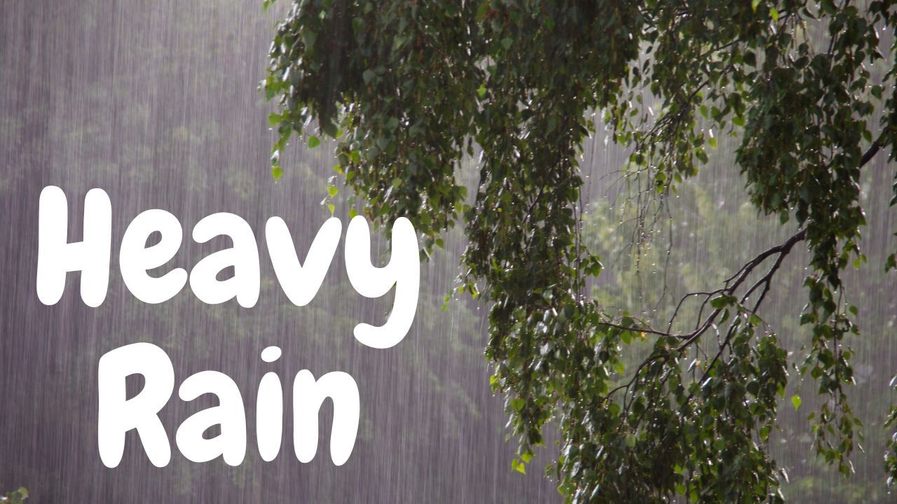
The first phase of the storm brought steady to heavy rainfall across Northern California, with some foothill areas seeing rainfall rates approaching one inch every three hours. This led to nuisance flooding in low-lying neighborhoods, poor-drainage streets, and rural roads, particularly north of Interstate 80.
Snow levels remained high initially, staying above 8,000 feet on Sunday, before lowering to around 6,500–7,000 feet by Monday. While rivers and streams began rising quickly, most main waterways were expected to stay within their banks during the early phase of the storm.
Tuesday: Brief Lull Before the Next Surge
A short break in the heaviest rainfall is expected Tuesday, though scattered showers and snow showers will continue across the region. Snow levels are forecast to dip further to 5,500–6,500 feet, increasing the likelihood of accumulating snow at higher elevations.
Despite the lull, officials caution that soils will remain saturated, meaning even moderate rainfall could quickly lead to renewed flooding or runoff issues.
Christmas Eve and Christmas Day: Peak Storm Impacts Expected
Forecasters say the most dangerous part of the storm will arrive Wednesday through Christmas Day, when widespread heavy rain returns across Northern California.
With the ground already soaked, the risk of mudslides and debris flows increases significantly, particularly in foothill communities and areas near steep terrain. Smaller creeks could overflow rapidly, while urban flooding is likely in low-lying and poorly drained areas.
Strong winds are also expected during this period, with gusts reaching up to 50 mph in parts of the Sacramento and San Joaquin valleys, raising concerns about downed trees and isolated power outages.
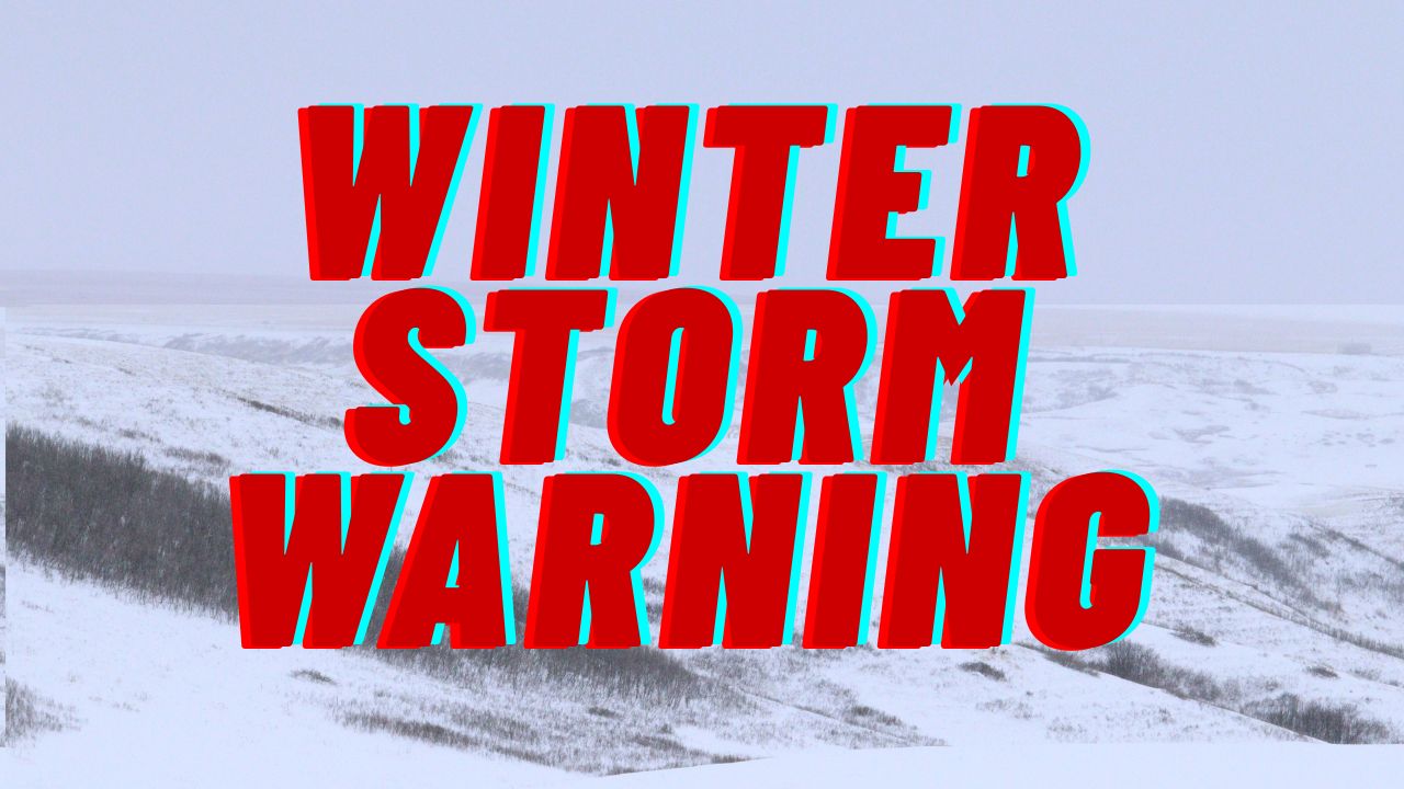
Sierra Nevada Travel Expected to Be Extremely Dangerous
While valleys contend with flooding rain, the Sierra Nevada is bracing for a major snow event. Forecasters expect 1 to 3 feet of snow above 6,000 feet through Christmas Day, with periods of near-blizzard conditions possible.
Travel in the mountains is expected to be extremely difficult to impossible, especially along major corridors connecting Northern California to Nevada.
Caltrans confirmed that Interstate 80 near Donner Summit has already experienced closures due to snow removal and hazardous conditions, with additional shutdowns likely as snowfall intensifies.
Drivers are strongly advised to avoid Sierra travel unless absolutely necessary, carry emergency supplies, and monitor road condition updates closely.
Expected Rainfall Totals Through Christmas Day
Forecast totals highlight the severity of the storm:
- Sacramento Valley: 4–8 inches
- San Joaquin Valley: 2–5 inches
- Foothills and Sierra: 8–16 inches, with isolated areas near 20 inches
These amounts significantly increase the threat of flooding, especially where storm drains are overwhelmed or terrain funnels runoff quickly.
Read Also: Icy Patches Could Catch Drivers Off Guard in Northern Pennsylvania Early Tuesday
Wet Pattern Likely to Continue Beyond Christmas
Meteorologists warn that the active weather pattern may not end on Christmas Day. Additional rounds of rain and mountain snow are possible later in the week, prolonging flooding concerns and keeping travel disruptions in place across Northern California.
Residents are urged to avoid flooded roadways, secure outdoor items, prepare for potential power outages, and stay informed as conditions evolve.
How is the storm affecting your area, and are you traveling this Christmas week? Share your experience or safety tips in the comments section.