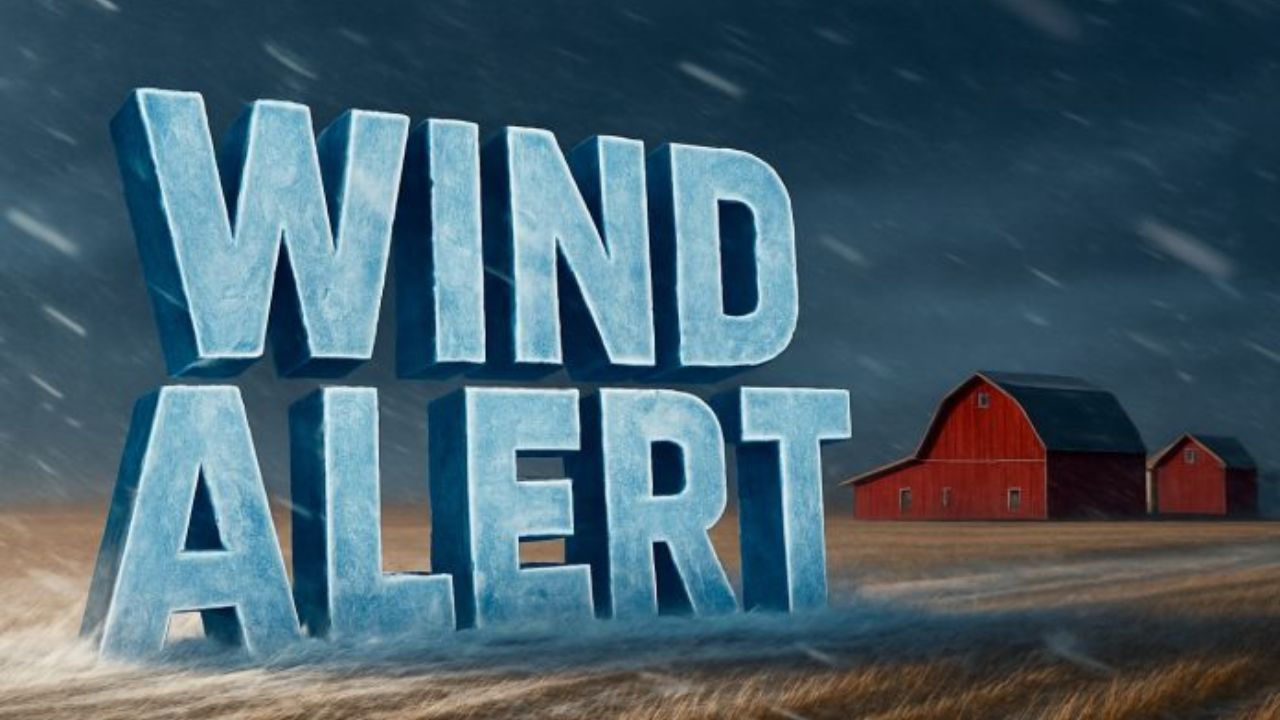
Buffalo, New York – Strong and gusty winds continued to impact the Buffalo region early Tuesday as a Wind Advisory remained in effect until 7 a.m., with conditions prompting travel concerns and potential power disruptions across western New York.
According to the National Weather Service, sustained west winds between 20 and 30 miles per hour were reported overnight, with gusts peaking near 50 miles per hour. Although a previously issued High Wind Warning was canceled, advisory-level winds persisted into the early morning hours.
Current Conditions Early Tuesday
As of early Tuesday morning, conditions at Buffalo Niagara International Airport showed temperatures hovering around 21 degrees, accompanied by light snow, fog, and mist. Wind chills dropped into the single digits, and periods of reduced visibility were reported due to blowing snow.
Forecasters noted that while snowfall amounts remained light, the combination of wind and cold significantly worsened travel conditions in exposed areas.
Potential Impacts Across Western New York
Weather officials warned that strong wind gusts could lead to several disruptions, including:
- Unsecured outdoor items being blown around
- Tree limbs snapping under wind stress
- Isolated power outages
- Patchy blowing snow on untreated roads
In open and rural areas, gusts may briefly reduce visibility, especially during passing snow showers.
Travel Conditions and Safety Concerns
The early-morning commute was expected to be the most challenging period, particularly for high-profile vehicles such as trucks, buses, and delivery vans. Drivers were urged to slow down, increase following distance, and remain alert for sudden drops in visibility caused by blowing snow.
Transportation officials emphasized that bridges and elevated roadways could become slick more quickly due to exposure to wind and cold air.
Areas Under the Wind Advisory
The advisory covered much of western New York, including Erie County and surrounding counties such as Niagara, Orleans, Genesee, and Wyoming. Residents in these areas were advised to secure loose objects and avoid unnecessary early-morning travel where possible.
When Conditions Will Improve
Meteorologists expect winds to gradually weaken after sunrise as the pressure gradient relaxes across the region. By mid-morning, gusts should diminish enough to reduce the risk of additional wind-related damage.
While snow showers may linger intermittently through midweek, no additional wind advisories are currently anticipated beyond Tuesday morning.
Outlook for the Rest of the Week
Looking ahead, temperatures are forecast to remain cold, with daytime highs generally staying in the 20s through New Year’s Day. Periodic snow showers are possible, but accumulations are expected to remain minor.
Residents are encouraged to continue monitoring official updates from the National Weather Service and local authorities as conditions evolve.
Staying informed and taking simple precautions can help reduce risk during periods of strong winter weather. Share your experiences in the comments below.