Buffalo, New York — A messy stretch of winter weather is unfolding across western New York as snow and sleet move through the Buffalo area, setting the stage for slippery travel, a brief warmup, and another sharp cooldown before the new year. With temperatures hovering near freezing and multiple transitions expected, residents are being urged to stay alert through the weekend and into early next week.
Winter Weather Advisory Remains in Effect
A Winter Weather Advisory continues for the Buffalo region through early Saturday. Forecasters expect two to five inches of snow and sleet, with light icing possible in spots. Even small ice accumulations can quickly make conditions hazardous, especially on bridges, overpasses, and untreated secondary roads.
Snowfall rates may vary through the day, but periods of sleet can reduce traction suddenly. Road surfaces can change from wet to icy within minutes as temperatures fluctuate around the freezing mark.
Travel Conditions Worsen Through the Day
Travel conditions are expected to deteriorate by mid-morning, particularly on major routes such as I-90, Route 33, and key Buffalo city arterials. Slippery pavement and reduced braking distance could make both daytime and evening travel stressful.
Drivers heading out later today should anticipate slower traffic, longer stopping distances, and potential delays. Local officials advise allowing extra travel time, reducing speeds, and keeping a safe distance between vehicles.
Cold Holds On Into Saturday
Snow gradually tapers late tonight, but colder air remains in place into Saturday morning. Cloud cover will linger, and daytime highs are expected to struggle to reach the lower 30s.
While road crews will continue plowing and treating main roads, side streets and residential areas may remain slick, especially during the early morning hours. Shaded areas could refreeze even after light melting.
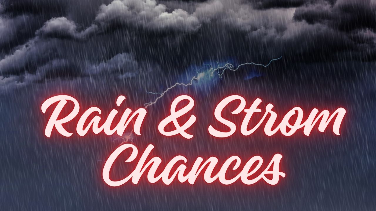
Sunday Brings Rain and Rapid Melting
Weather conditions shift again on Sunday as milder air pushes into western New York. Snow is expected to change over to rain by Sunday afternoon, with temperatures climbing into the upper 40s.
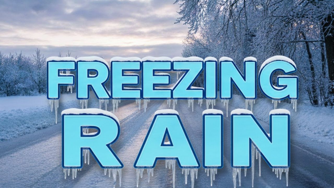
The warmer air will help melt accumulated snow, but it may also create standing water on roads and in low-lying areas. As temperatures fall again Sunday night, any leftover moisture could refreeze, increasing the risk of black ice, particularly on untreated surfaces.
Gusty Winds and More Precipitation Monday
Another strong system arrives Monday, bringing gusty winds and additional precipitation. Wind gusts could exceed 45 mph, blowing loose snow and further reducing visibility at times.
Rain may briefly mix with snow as colder air filters back in later Monday. The combination of wind, wet roads, and falling temperatures could make travel difficult during parts of the day.
Active Pattern Continues Into New Year’s Week
Looking ahead to New Year’s week 2026, winter remains active across the Buffalo area. Additional snow showers are possible Tuesday and Wednesday, with daytime highs dropping back into the 20s.
Repeated thaw-and-freeze cycles increase the risk of early-morning black ice, especially on less-traveled roads, parking lots, and sidewalks. Residents should remain cautious during overnight and morning hours even when snowfall appears light.
Five-Day Outlook for Buffalo, NY
- Today: Snow and sleet, 2–5 inches possible, high near 31°
- Saturday: Mostly cloudy and cold, high near 31°
- Sunday: Rain develops, milder, high near 47°
- Monday: Rain and snow with strong winds, high near 43°
- Tuesday: Snow showers possible, colder, high near 28°
What to Keep in Mind This Weekend
Changing precipitation types can make conditions unpredictable. Staying weather-aware, checking road conditions before traveling, and adjusting plans as needed can help reduce risk during this unsettled stretch.
Share your experiences in the comments below. How are road and travel conditions where you are in western New York?
Buffalo, New York — A messy stretch of winter weather is unfolding across western New York as snow and sleet move through the Buffalo area, setting the stage for slippery travel, a brief warmup, and another sharp cooldown before the new year. With temperatures hovering near freezing and multiple transitions expected, residents are being urged to stay alert through the weekend and into early next week.
Winter Weather Advisory Remains in Effect
A Winter Weather Advisory continues for the Buffalo region through early Saturday. Forecasters expect two to five inches of snow and sleet, with light icing possible in spots. Even small ice accumulations can quickly make conditions hazardous, especially on bridges, overpasses, and untreated secondary roads.
Snowfall rates may vary through the day, but periods of sleet can reduce traction suddenly. Road surfaces can change from wet to icy within minutes as temperatures fluctuate around the freezing mark.
Travel Conditions Worsen Through the Day
Travel conditions are expected to deteriorate by mid-morning, particularly on major routes such as I-90, Route 33, and key Buffalo city arterials. Slippery pavement and reduced braking distance could make both daytime and evening travel stressful.
Drivers heading out later today should anticipate slower traffic, longer stopping distances, and potential delays. Local officials advise allowing extra travel time, reducing speeds, and keeping a safe distance between vehicles.
Cold Holds On Into Saturday
Snow gradually tapers late tonight, but colder air remains in place into Saturday morning. Cloud cover will linger, and daytime highs are expected to struggle to reach the lower 30s.
While road crews will continue plowing and treating main roads, side streets and residential areas may remain slick, especially during the early morning hours. Shaded areas could refreeze even after light melting.
Sunday Brings Rain and Rapid Melting
Weather conditions shift again on Sunday as milder air pushes into western New York. Snow is expected to change over to rain by Sunday afternoon, with temperatures climbing into the upper 40s.
The warmer air will help melt accumulated snow, but it may also create standing water on roads and in low-lying areas. As temperatures fall again Sunday night, any leftover moisture could refreeze, increasing the risk of black ice, particularly on untreated surfaces.
Gusty Winds and More Precipitation Monday
Another strong system arrives Monday, bringing gusty winds and additional precipitation. Wind gusts could exceed 45 mph, blowing loose snow and further reducing visibility at times.
Rain may briefly mix with snow as colder air filters back in later Monday. The combination of wind, wet roads, and falling temperatures could make travel difficult during parts of the day.
Active Pattern Continues Into New Year’s Week
Looking ahead to New Year’s week 2026, winter remains active across the Buffalo area. Additional snow showers are possible Tuesday and Wednesday, with daytime highs dropping back into the 20s.
Repeated thaw-and-freeze cycles increase the risk of early-morning black ice, especially on less-traveled roads, parking lots, and sidewalks. Residents should remain cautious during overnight and morning hours even when snowfall appears light.
Five-Day Outlook for Buffalo, NY
- Today: Snow and sleet, 2–5 inches possible, high near 31°
- Saturday: Mostly cloudy and cold, high near 31°
- Sunday: Rain develops, milder, high near 47°
- Monday: Rain and snow with strong winds, high near 43°
- Tuesday: Snow showers possible, colder, high near 28°
What to Keep in Mind This Weekend
Changing precipitation types can make conditions unpredictable. Staying weather-aware, checking road conditions before traveling, and adjusting plans as needed can help reduce risk during this unsettled stretch.
Share your experiences in the comments below. How are road and travel conditions where you are in western New York?