Buffalo, New York — Western New York is dealing with a fast-moving winter system that is bringing powerful winds, soaking rain, and a rapid drop in temperatures that could create hazardous travel conditions by tonight. Forecasters say the combination of wind, snow, and freezing temperatures makes this a weather setup residents should not take lightly.
Wind Advisory Remains in Effect Until Early Saturday
A Wind Advisory is in place for Buffalo and much of western New York until 1 AM Saturday, with winds strengthening throughout the day. Gusts are expected to reach 45 to 50 mph, particularly near Lake Erie, along exposed shorelines, and on open highways.
Drivers on major routes such as Interstate 90, Route 33, and Route 5 may experience sudden crosswinds. High-profile vehicles, including trucks, vans, and SUVs, are most vulnerable to being pushed sideways during stronger gusts. Loose outdoor items such as trash bins, holiday decorations, and lightweight furniture may also be displaced by the wind.
Rain Dominates Early Before Snow Arrives Tonight
Rain is the primary precipitation type through the morning and early afternoon. However, colder air will surge into the region later today, forcing a transition from rain to snow by late afternoon or evening.
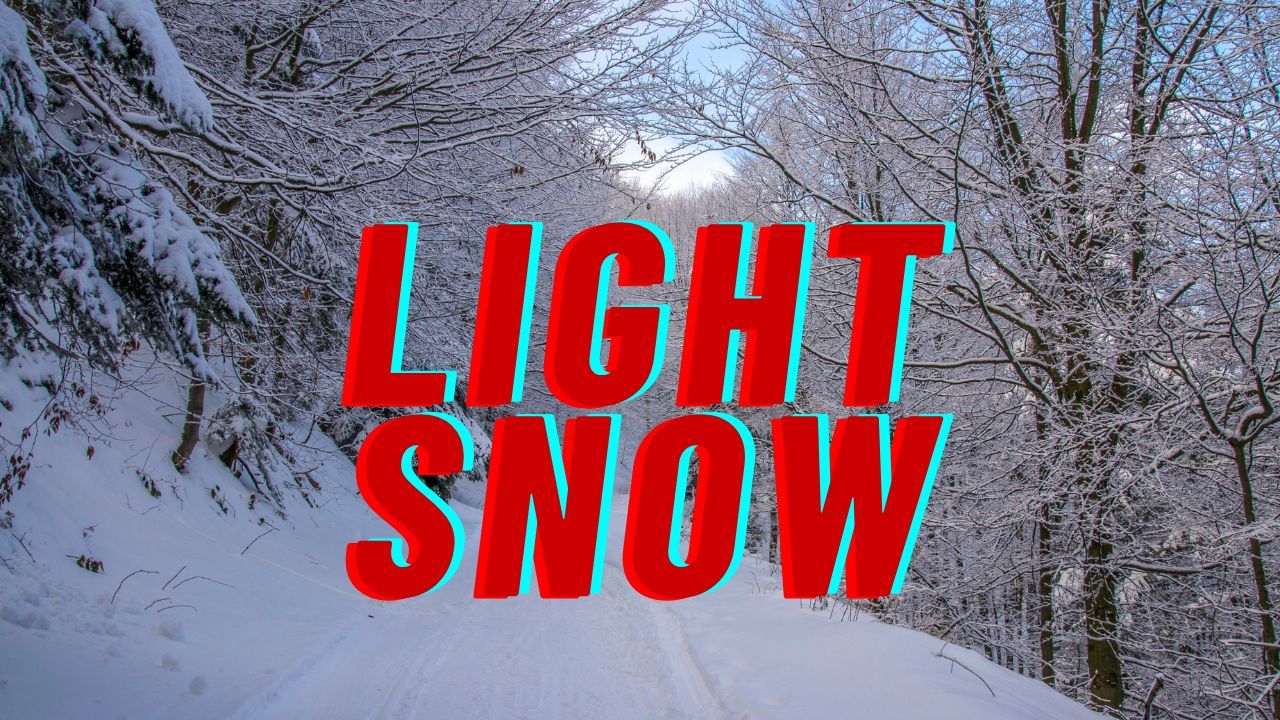
Snowfall totals are expected to remain light, generally under one inch, but the concern is not accumulation alone. Strong winds could cause blowing snow, especially in open areas, briefly reducing visibility during heavier bursts. Even small amounts of snow can create problems when paired with strong gusts and rapidly falling temperatures.
Flash Freeze Risk After Sunset
One of the most dangerous aspects of this system arrives after dark. Temperatures are forecast to drop sharply, falling from the upper 40s earlier in the day into the low 20s overnight.
As colder air moves in, wet road surfaces may freeze quickly, creating icy patches with little warning. Bridges, overpasses, entrance ramps, and untreated secondary roads are especially prone to flash freezing. Even roads that appear merely wet could become slick within minutes as temperatures fall.
Travelers heading out this evening or overnight are urged to reduce speed, increase following distance, and remain alert for sudden changes in road conditions.
Conditions Improve Slightly on Saturday
By Saturday, the storm system moves east, allowing winds to gradually ease. While skies remain mostly cloudy, the worst of the weather will be over.
Daytime highs rebound into the low 40s, helping melt lingering moisture and reducing ice concerns. Despite calmer conditions, some slick spots may persist in shaded areas or on less-traveled roads during the morning hours.
Colder Air Returns Sunday
Sunday brings another reminder that winter has settled in across western New York. Temperatures struggle to climb, with highs near 31°F, and there is a slight chance of snow showers. While significant snowfall is not expected, the colder air will reinforce icy conditions where moisture remains.
What This Means for Christmas Travel
Looking ahead, forecasters are monitoring a familiar December pattern. A brief return to milder air may occur early next week, but another push of colder weather is possible closer to Christmas.
Forecast models suggest additional snow chances may develop, particularly for areas near the Great Lakes and higher elevations, though timing and intensity are still uncertain. Travelers planning holiday trips should stay alert for forecast updates, especially if driving long distances.
Five-Day Forecast Snapshot
- Saturday: Mostly cloudy, high 41°F
- Sunday: Mostly cloudy, high 31°F
- Monday: Partly sunny, high 32°F
- Tuesday: Snow showers possible, high 40°F
- Wednesday: Partly sunny, high 36°F
Stay Prepared and Weather-Aware
This system follows a classic early-winter progression for western New York: strong winds first, snow later, and ice after dark. Taking simple precautions—securing outdoor items, allowing extra travel time, and slowing down on wet or icy roads—can make a significant difference in staying safe.
If you’re traveling through Buffalo or surrounding areas tonight, keep checking local forecasts and road conditions as the weather continues to change.
Share your experiences in the comments below.