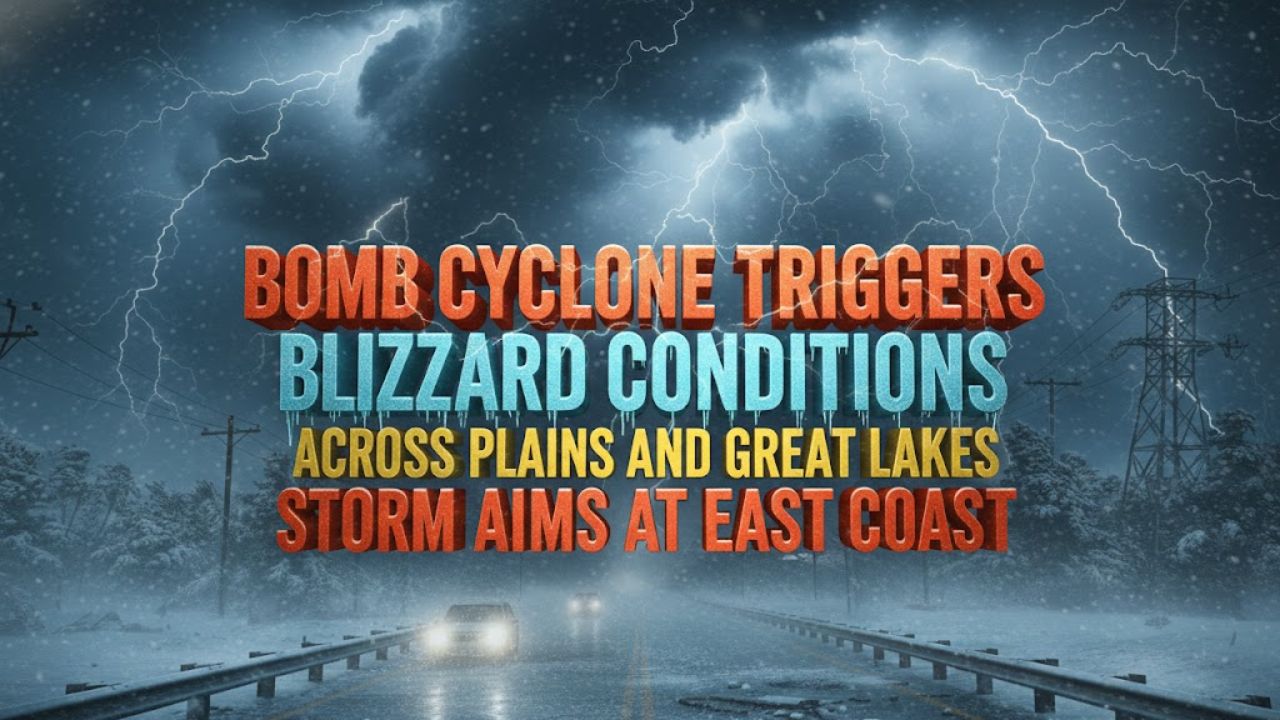
Chicago – A powerful storm system sweeping across the northern United States rapidly intensified into a bomb cyclone on Monday, unleashing blizzard conditions, heavy snow, freezing rain, and damaging winds across parts of the Plains and Great Lakes. Forecasters say the same system is now tracking east, threatening major cities along the East Coast with hazardous winter weather, according to CBS News.
What Is a Bomb Cyclone and Why This Storm Is Dangerous
A bomb cyclone is a storm that strengthens extremely fast, marked by a sharp drop in atmospheric pressure within 24 hours. The National Oceanic and Atmospheric Administration explains that this rapid intensification can dramatically increase wind speeds and precipitation.
In this case, meteorologists warned that a frigid Arctic front plunging southward is colliding with warmer, moisture-rich air from the South. That clash is creating a volatile mix of snowstorms, ice, thunderstorms, and unusually cold temperatures across a wide swath of the country.
Blizzard Conditions Spread Through the Great Lakes and Northeast
The winter storm swept through the Great Lakes region on Monday and began moving into the Northeast, bringing blizzard conditions, lake-enhanced snowfall, freezing rain, and strong winds, CBS News meteorologist Nikki Nolan said. Lighter rainfall is expected to follow into Tuesday morning in some areas.
Major metropolitan regions in the storm’s path include Detroit, Pittsburgh, Washington, D.C., Philadelphia, New York City, Boston, and New Orleans, along with snow-prone areas such as Buffalo and Syracuse, New York. Some locations could see 6 to 10 inches of snow by Tuesday as the system advances eastward.
Ice, Heavy Rain, and Damaging Winds Expected
Forecasters warned that interior parts of New England could experience significant ice accumulation, with up to 1 inch of ice possible in certain areas. Other regions may see as much as 2 inches of rainfall, raising concerns about localized flooding.
Wind gusts are another major threat, with speeds potentially reaching 65 to 75 mph as the storm moves through densely populated corridors.
Lake-Effect Snow Could Reach Two Feet
Behind the cold front, a surge of Arctic air is expected to fuel intense lake-effect snow. Meteorologists say snowfall could reach 1 to 2 feet in pockets of Michigan and upstate New York, especially downwind of the Great Lakes.
Farther from the lakes, a broader zone across the Upper Midwest and Northeast is forecast to receive 1 to 6 inches of snow, while lighter totals could extend as far south as Kentucky and West Virginia.
Millions Under Winter Weather Alerts and Warnings
Millions of people remained under winter weather alerts on Monday as the storm continued eastward. According to the National Weather Service, blizzard warnings were in effect for parts of Michigan’s Upper Peninsula, while ice storm warnings covered areas of upstate New York and Vermont.
Winter storm warnings are expected to persist through Tuesday across much of the Midwest and Northeast, from Wisconsin to Maine. In addition, high wind alerts were issued for more than 114 million people across the eastern United States as the powerful cold front advances.
What Forecasters Are Watching Next
Meteorologists are closely monitoring how quickly the storm weakens as it moves offshore later this week. Until then, officials continue to urge residents in affected areas to prepare for dangerous travel conditions, power outages, and rapidly changing weather as the bomb cyclone impacts the East Coast.