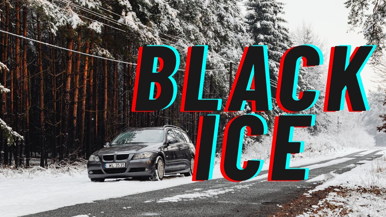
Virginia – A thin layer of black ice is creating dangerous travel conditions across western Virginia this morning, coating roads and sidewalks with a nearly invisible glaze as temperatures dip well below freezing. The National Weather Service in Blacksburg cautions drivers that refreezing from yesterday’s melt is likely to form slick patches, particularly on bridges, shaded hillsides, and rural routes where overnight cold settles most quickly.
Motorists are urged to reduce speed, leave extra space for braking, and use heightened awareness along major corridors such as I-81 and U.S. Route 460. Pedestrians should also move carefully on untreated sidewalks and parking lots, where slips and falls may continue through the midmorning hours.
Early Morning Hazards Across Western Virginia
Forecasters explain that even light moisture left on pavement can freeze into a hard-to-see sheet of ice.
“Black ice forms when the air temperature drops rapidly, allowing a very thin, transparent layer of ice to develop,” the NWS noted in its guidance.
These conditions are especially risky at dawn, when low visibility and shaded stretches of roadway make icy spots difficult to detect.
Travel Conditions Near I-81 and Regional Routes
Traffic agencies report increased calls related to minor slide-offs and untreated secondary roads. Bridges and overpasses remain the first locations to freeze, and officials emphasize that any wet-looking pavement should be assumed icy. Rural communities west of Roanoke, the New River Valley, and the Blue Ridge foothills are experiencing the most notable impacts.
Afternoon Warm-Up Followed by a Rapid Temperature Drop
Sunshine is expected to bring brief midday improvement as temperatures climb into the mid-40s, softening some icy patches. However, the temporary relief will not last long. Another cold surge arrives Thursday night, pulling lows back into the 20s and setting the stage for additional winter weather.
Light Snow Showers Expected Friday
Forecasters in Blacksburg say light snow showers could develop by Friday, particularly in higher elevations along the Blue Ridge Parkway and west of Roanoke. Accumulation is expected to remain low, ranging from a dusting to about half an inch, but slick roads may redevelop quickly as temperatures fluctuate. Commuters traveling early Friday should monitor updated forecasts and be prepared for reduced visibility on mountain passes.
Weekend Outlook: Bitter Wind Chills and Early Winter Pattern
The weekend will stay cold and mostly dry, but Sunday night into Monday may bring wind chills near zero, marking one of the coldest periods of December so far. Meteorologists also note that the broader Appalachian weather pattern is shifting toward clipper-style systems between December 12–17, which could deliver additional bursts of snow and reinforce the ongoing early-season chill across the eastern United States.
Five-Day Forecast for Blacksburg
Thursday: Mostly sunny, high 39°F, low 22°F
Friday: 40% chance of snow showers, high 36°F, low 28°F
Saturday: Partly sunny, high 38°F, low 23°F, occasional breezes
Sunday: Mostly sunny, high 31°F, low 9°F, wind chills near zero
Monday: Sunny, high 42°F, low 17°F
Safety Reminder
Black ice is extremely difficult to detect, especially before sunrise. Treat all shiny pavement as ice and check tire pressure, which often drops overnight during cold snaps and can affect vehicle handling.
If you’ve experienced icy conditions in your area this morning, share what you’re seeing in the comments below.