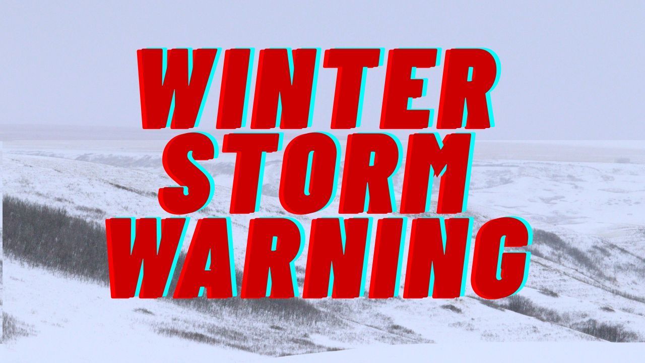
Pittsburgh, PA – The National Weather Service in Pittsburgh is alerting residents across western Pennsylvania and northern West Virginia about potentially dangerous road conditions overnight due to the development of black ice. Falling temperatures late Friday into early Saturday may cause moisture from earlier snowmelt to refreeze, making roadways slippery and difficult to navigate.
Forecasters say the concern is widespread, with risks extending across Westmoreland, Fayette, Indiana, Marion, Monongalia, and Preston counties. Meteorologist Frazier noted that temperatures will dip below freezing after midnight, creating the perfect setup for hidden ice on untreated surfaces.
What Forecasters Are Warning About
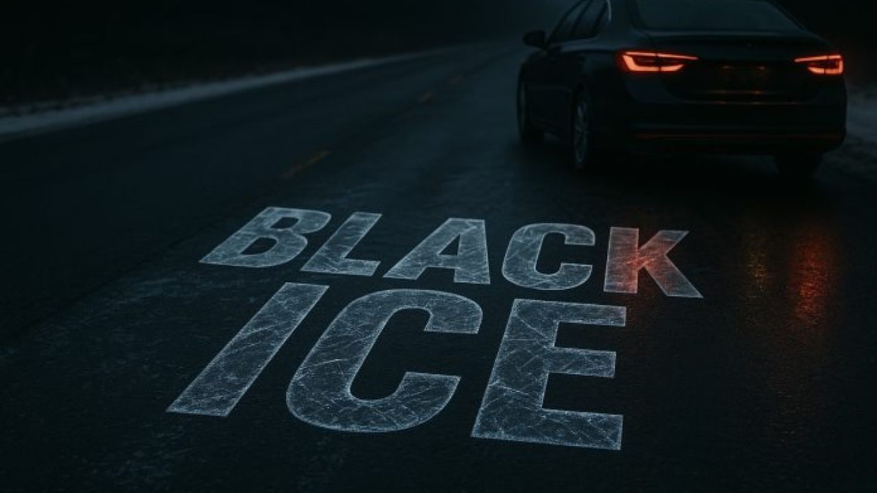
Weather experts explain that the combination of lingering moisture and a sharp drop in temperatures increases the likelihood of black ice, a thin, transparent layer of ice that blends with the pavement and is often difficult for drivers to detect.
According to the National Weather Service, even light refreezing can make roads as slick as polished glass, particularly during the early morning hours when temperatures are lowest.
Patchy freezing fog and freezing drizzle may also form overnight, adding another layer of risk. These conditions are expected to be most prominent in elevated areas including the Laurel Highlands, Canaan Valley, and the Kingwood region of northern West Virginia. Light icing may accumulate on bridges, overpasses, sidewalks, and untreated rural roads.
Areas Facing the Greatest Risk
The overnight icing concerns primarily affect:
- Westmoreland County
- Fayette County
- Indiana County
- Marion County (WV)
- Monongalia County (WV)
- Preston County (WV)
Higher terrain and rural areas may experience the worst impacts due to naturally colder surfaces and limited road treatment. Residents in mountain communities should be prepared for quickly changing conditions and reduced visibility.
Why Black Ice Is Especially Dangerous
Black ice poses a severe hazard because:
- It is nearly impossible to spot in the dark
- It often forms on bridges and overpasses first
- It creates sudden, unanticipated loss of traction
- Even cautious speeds can lead to sliding
Drivers may not realize they’ve encountered ice until after braking or turning, which can cause rapid skidding.
Travel Advice from Weather Officials
Meteorologist Frazier and the Weather Service emphasize avoiding unnecessary travel overnight. Those who must be on the road early Saturday should take slow, deliberate actions behind the wheel.
Key safety reminders include:
- Reduce speed significantly
- Avoid sudden braking or sharp turns
- Allow extra stopping distance
- Watch for frosted or glossy patches on pavement
- Use low beams when fog is present
- Approach bridges and overpasses with caution
Officials also recommend checking local DOT or municipal updates before starting a trip, as road conditions may vary widely from one neighborhood to another. As temperatures rise above freezing by late morning Saturday, the risk is expected to diminish and road surfaces should gradually improve.
When Conditions Will Improve
Forecasters expect improvement by late Saturday morning, once fog lifts and surface temperatures climb back above the freezing mark. Until then, roads may remain hazardous, particularly between midnight and 9 a.m.
Communities across western Pennsylvania and northern West Virginia are urged to remain alert as winter hazards continue to evolve through the weekend.
Residents who experience dangerous spots or observe icy areas are encouraged to report conditions to local authorities and share updates with neighbors to help keep everyone safe.