San Francisco Bay Area, Calif. — Another powerful Pacific storm system combined with King Tides brought widespread flooding concerns across the Bay Area over the weekend, prompting multiple weather alerts, road closures, and coastal inundation in low-lying communities. Heavy rain and strong winds moved into the region overnight, continuing through Saturday morning and again on Sunday, compounding tidal flooding impacts.
Meteorologists warned that the overlap of high astronomical tides and repeated rainfall significantly increased the risk of shoreline flooding, roadway closures, and hazardous driving conditions.
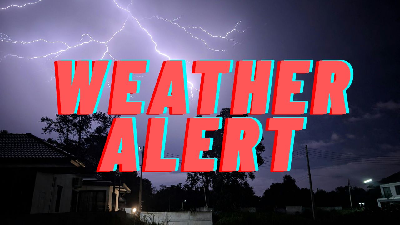
Weather Alerts Issued Across the Bay Area
The National Weather Service issued a series of advisories and warnings covering much of the region as conditions deteriorated.
Alerts in Effect Through Saturday
- Wind Advisory through 1 p.m. Saturday for much of the Bay Area
- Coastal Flood Warning through 2 p.m. Saturday for the San Francisco Bay shoreline, with up to 2.5 feet of inundation above ground level possible in low-lying areas near shorelines and tidal waterways
- Coastal Flood Advisory through 2 p.m. Sunday for the Pacific Coast and Monterey Bay, where steeper shorelines offer partial protection from major inundation
Additional Alerts Issued Sunday
- Flood Advisory until 3 p.m. for Santa Clara, Alameda, Contra Costa, Solano, and Santa Cruz counties
- Coastal Flood Advisory until 3 p.m. for the San Francisco Bay shoreline, San Francisco County, San Francisco Peninsula Coast, North Bay interior valleys, and Northern Monterey Bay
Officials urged residents to avoid flooded roadways and allow extra travel time during periods of heavy rain and high tides.
Vehicle Crash Highlights Hazardous Driving Conditions
Stormy conditions contributed to dangerous travel across Bay Area highways.
A vehicle crashed into a California Highway Patrol patrol vehicle at the scene of a separate collision on northbound I-680 near South Mission Boulevard in Dublin at 11:45 a.m. Sunday, authorities confirmed. Fortunately, no injuries were reported.
CHP officials reminded drivers to slow down and remain alert during inclement weather, noting that slick roads and reduced visibility significantly increase crash risks.
King Tides Cause Closures in Marin County
Mill Valley Road Closures
King Tide flooding forced the closure of Miller Avenue between Camino Alto and Almonte Boulevard in Mill Valley, according to local police. The roadway was reopened later in the afternoon around 4:18 p.m., after waters receded.
Widespread Flooding in Corte Madera and Sausalito
Several low-lying areas in Corte Madera and Sausalito experienced significant flooding, with Gate 5 Road in Sausalito among the hardest hit locations.
Residents and business owners were forced to evacuate as floodwaters surged into streets and commercial areas. Long-time business owners described the flooding as the worst they have seen in more than 20 years, underscoring the severity of the tidal event.
Highway Closures Due to Flooding
Floodwaters shut down several major roadways across the Bay Area, disrupting weekend travel.
- Eastbound Highway 121 to eastbound Highway 37 toward Mare Island was closed due to flooding
- Flooding was also reported near Lowrie Yacht Harbor in San Rafael
- Northbound I-880 to I-80 westbound, as well as I-80 westbound east of the Bay Bridge toll plaza, were closed after standing water made the roadway unsafe
Authorities advised motorists to seek alternate routes and avoid driving through flooded areas.
Flooding Impacts Near Schools in Larkspur
In Larkspur, flooding forced the closure of Doherty Drive between Lucky Drive and Riviera Circle, near Redwood High School.
The Central Marin Police Authority confirmed that water had pooled in the area adjacent to the school campus. Police, fire crews, and public works teams were deployed to manage traffic and monitor conditions.
Drivers were urged to avoid the area until water levels subsided.
Why King Tides Increase Flood Risk
King Tides are predictable, extremely high tides that occur when the gravitational pull of the moon and sun align, raising sea levels higher than normal. When combined with storm surge, heavy rainfall, and strong winds, these tides can push water inland, flooding roads, neighborhoods, and coastal infrastructure.
Experts note that King Tide events also provide a preview of future sea-level rise impacts, particularly in vulnerable coastal communities.
What Residents Should Do
Officials recommend the following safety steps during King Tides and storms:
- Avoid driving through flooded roadways
- Monitor local alerts and evacuation notices
- Secure vehicles and property in low-lying areas
- Allow extra time for travel during high tide periods
- Report flooding or road hazards to local authorities
Conclusion
The combination of repeated storms and King Tides created a challenging and hazardous weekend across the Bay Area, with flooding affecting highways, coastal neighborhoods, and school zones. While some roads have reopened, officials caution that additional rain and high tides could lead to renewed flooding in vulnerable areas.
Residents are encouraged to remain weather-aware and prioritize safety as unsettled conditions continue.
Share your experiences in the comments below.