Pittsburgh, Pennsylvania – Snowy and potentially dangerous travel conditions are expected to affect the Pittsburgh area as a winter weather system moves through western Pennsylvania, according to forecasters. Drivers and pedestrians are being urged to prepare for deteriorating road conditions late tonight and throughout Wednesday.
Winter Weather System Moving Into Western Pennsylvania
A developing winter storm is bringing snow showers into the region, with coverage and intensity expected to increase overnight. Meteorologists say the system will linger through Wednesday, creating periods of steady snowfall and reduced visibility across much of the Pittsburgh metro area and surrounding counties.
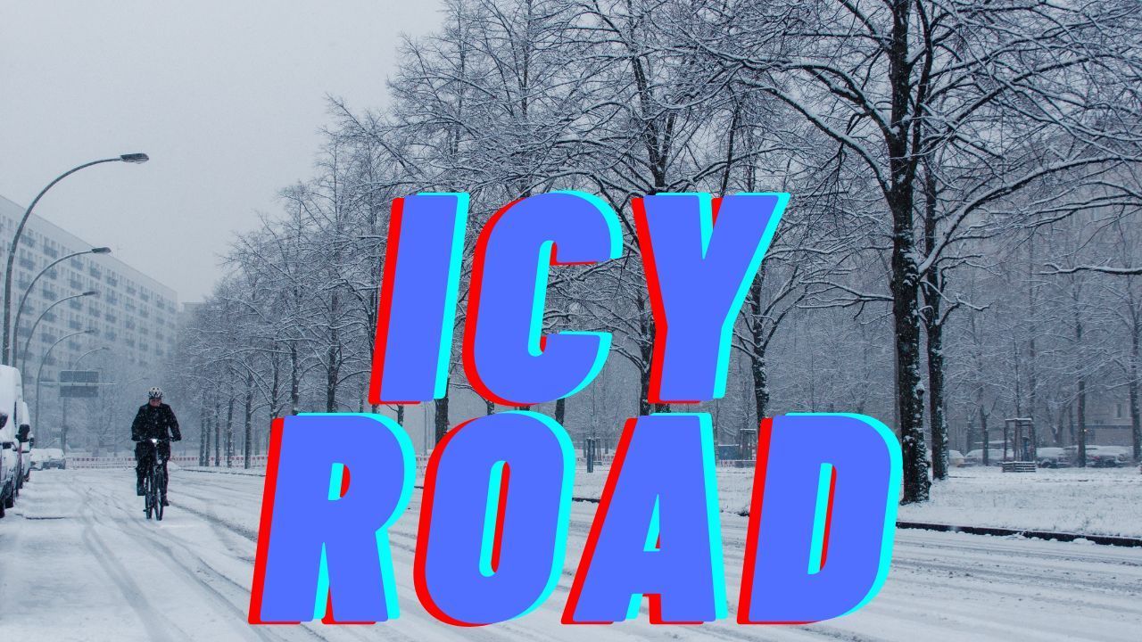
Forecasters warn that colder temperatures will allow snow to accumulate efficiently, especially on untreated roads, bridges, and sidewalks. Even moderate snowfall rates could quickly lead to slick travel conditions during peak commuting hours.
Snow Accumulation and Timing
Widespread snow is expected to develop late Wednesday, with at least 2 inches of accumulation possible in parts of western Pennsylvania. While exact totals remain uncertain, weather models suggest that enough snow will fall to significantly impact travel conditions.
The most hazardous periods are expected during the Wednesday morning and evening commute, when snowfall rates may temporarily increase. Accumulations could vary widely depending on location, elevation, and brief changes in intensity, but forecasters emphasize that even lower totals may still create travel disruptions.
Current Conditions at Pittsburgh International Airport
As of early Tuesday, conditions at Pittsburgh International Airport were already deteriorating. Observations indicated heavy snow and freezing fog, with temperatures near 21 degrees Fahrenheit. Visibility dropped to one-quarter mile, making driving and flight operations more challenging.
Wind chills were reported in the single digits, increasing the risk of frostbite for anyone exposed outdoors for extended periods. These conditions highlight how quickly winter weather impacts can escalate as temperatures remain well below freezing.
Potential Advisories and Forecast Uncertainty
Meteorologists note that Winter Weather Advisories may be issued for parts of the region if snow coverage and accumulation trends continue as expected. While wind speeds are forecast to remain moderate, the combination of cold air and persistent snowfall increases the likelihood of snow sticking to road surfaces.
Forecast uncertainty remains regarding precise snowfall totals, but officials stress that the primary concern is road safety rather than exact accumulation numbers. Snow-covered and icy roads can develop rapidly, even during lighter snowfall events.
Travel and Safety Precautions
Drivers across the Pittsburgh area are urged to take extra precautions as conditions worsen. Recommended safety steps include:
- Reducing speed and allowing extra travel time
- Increasing following distance to account for longer stopping distances
- Avoiding sudden braking or sharp turns on snow-covered roads
- Ensuring vehicles are winter-ready, with proper tires and emergency supplies
Pedestrians should also remain cautious, as sidewalks and parking lots may become slippery with limited visibility at times. Wearing proper footwear and using handrails where available can reduce the risk of falls.
Outlook for the Rest of the Week
Snow chances are expected to continue into Wednesday night, with gradual improvement on New Year’s Day. Skies are forecast to turn partly sunny on Thursday, though temperatures will remain cold, with highs reaching only the mid-20s.
Despite some improvement, cold conditions are expected to persist through the end of the week, increasing the likelihood of lingering icy patches on shaded or untreated surfaces.
Staying Informed as Conditions Change
Residents across western Pennsylvania are encouraged to closely monitor updated forecasts and weather alerts as the storm system evolves. Even small shifts in temperature or precipitation intensity could influence snow totals and travel impacts.
Being prepared and staying informed can help reduce risks during this winter weather event.
Share your experiences with local road conditions or weather impacts in the comments below.