Virginia Beach, Virginia – A stretch of cool, breezy winter weather has settled across the Virginia Beach area, with freezing overnight temperatures followed by a slow warming trend through the end of the week, according to forecasters with the National Weather Service.
Cold Start to Tuesday Morning
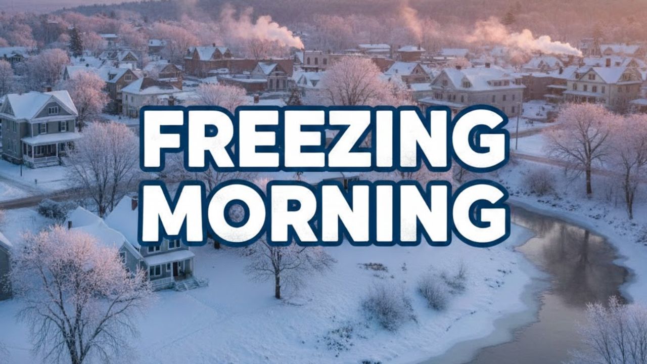
Residents woke up to a chilly start early Tuesday as temperatures near Naval Air Station Oceana hovered around 33 degrees, accompanied by clear skies and a light breeze that made conditions feel colder than the actual reading. Forecasters say overnight lows dipped close to 31 degrees, creating a freeze risk for sensitive plants and exposed outdoor plumbing.
Cold morning conditions are expected to remain a factor through midweek, especially during the pre-dawn and early commute hours.
Breezy and Sunny Conditions Tuesday
The National Weather Service office in Wakefield reports that Tuesday will remain sunny but breezy, with west winds gusting between 25 and 28 miles per hour. Afternoon highs are forecast to reach around 40 degrees, though the wind may keep temperatures feeling cooler, particularly in coastal and open areas.
Tuesday night will bring slightly calmer conditions as winds ease and skies stay mostly clear. Overnight temperatures are expected to fall into the upper 20s, reinforcing the potential for frost during the coldest hours.
Warming Trend Midweek
A gradual warming pattern begins on Wednesday, with daytime highs climbing to around 45 degrees. Overnight lows will also begin to moderate, moving into the low to mid-30s, reducing freeze concerns later in the week.
Conditions remain mostly sunny heading into New Year’s Day, when temperatures are forecast to reach the mid-40s, offering milder weather for outdoor plans, holiday travel, and coastal activities.
Late-Week Outlook and Rain Chances
By Friday, highs are expected to rise to approximately 48 degrees, bringing noticeably milder conditions to coastal Virginia. While no hazardous weather alerts are currently in effect, forecasters are tracking a chance of rain late Saturday, with precipitation probabilities increasing into the weekend.
Importantly, temperatures during any rain chances are expected to stay above freezing, meaning no winter precipitation such as snow or ice is anticipated at this time.
Travel and Safety Considerations
For commuters, students, and early-morning workers, the primary concerns through midweek will be cold mornings, gusty winds, and patchy frost, especially near open roadways and coastal bridges. Drivers are advised to allow extra time during the coldest hours and remain alert for slick spots caused by frost.
What to Expect Going Forward
Forecasters recommend residents continue to monitor forecast updates, as temperature swings and weekend rain chances may change slightly over the coming days. Overall, the region can expect a quiet weather pattern marked by cold mornings, sunny afternoons, and a gradual transition toward milder winter conditions.
Share your experiences in the comments below.