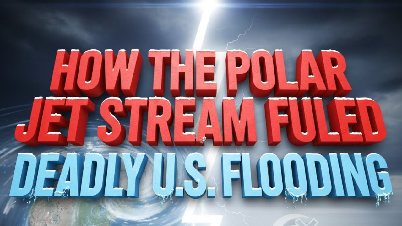
United States – The summer of 2025 delivered one of the most extreme and contradictory weather patterns in modern U.S. history. While catastrophic flash flooding killed hundreds across Texas, Kentucky, and other central and eastern states, every major hurricane — including three Category 5 storms — curved safely away from the U.S. mainland. According to climate scientists cited by The Conversation, both outcomes were largely shaped by unusual behavior in the polar jet stream.
What Is the Jet Stream and Why It Matters
Jet streams are fast-moving bands of wind located high in the upper troposphere, roughly four to eight miles above Earth’s surface. Flowing from west to east, they form where sharp temperature contrasts exist and act as atmospheric steering systems for weather patterns.
Each hemisphere contains two main jet streams. The polar jet stream, typically positioned between 50 and 60 degrees latitude, plays a major role in shaping weather across the continental U.S., especially during fall and winter. With winds that can exceed 200 mph, it often directs cold Arctic air and powerful storm systems southward.
The subtropical jet stream, located closer to 30 degrees latitude, is weaker and steadier, influencing tropical and subtropical weather patterns.
Together, these jet streams function like conveyor belts, guiding storms across continents. When strong, they accelerate storms. When weak, they allow systems to stall — increasing the risk of prolonged rainfall and flooding.
Why Summer 2025 Was So Unusual
In most summers, the polar jet stream weakens and retreats north into Canada, leaving the U.S. dominated by localized thunderstorms caused by daytime heating. That pattern did not hold in 2025.
Instead, the polar jet stream dipped unusually far south into the midlatitudes of the United States. At the same time, it weakened significantly, creating two dangerous conditions.
First, the slower jet stream failed to push storm systems eastward. As a result, storms stalled over the same regions for days, producing relentless rainfall and flash flooding.
Second, the weakened jet stream developed large north–south waves. These meanders funneled warm, moisture-rich air from the Gulf of Mexico deep into the interior U.S., intensifying storms and dramatically increasing rainfall totals.
Warm Oceans Supercharged the Flooding
Unusually warm conditions over the Atlantic Ocean and Gulf of Mexico amplified the flooding. Warmer oceans increase evaporation, and warmer air can hold more moisture. This combination injected extraordinary levels of atmospheric moisture into stalled storm systems.
As high-pressure systems locked the jet stream into place, storm tracks remained fixed over the same areas. The result was repeated rounds of heavy rain, overwhelming rivers, infrastructure, and emergency response systems across multiple states.
How the Jet Stream Protected the U.S. From Hurricanes
The same jet stream dynamics that fueled flooding also played a protective role during hurricane season.
The southward dip of the jet stream, combined with weak Atlantic high-pressure systems, steered all five hurricanes away from the U.S. mainland. Of the 13 named tropical storms and hurricanes that formed in 2025, most curved eastward into the open Atlantic before reaching the Caribbean.
This rare outcome highlights how jet stream positioning can influence not just inland weather, but also large-scale hurricane trajectories.
Climate Change Is Altering Jet Stream Behavior
Scientists say climate change is a key factor behind the jet stream’s increasingly erratic behavior.
Jet stream strength depends on the temperature contrast between the equator and the poles. As the Arctic warms more than twice as fast as the global average, that contrast is shrinking. A weaker temperature gradient leads to slower, more unstable jet streams.
Weaker jet streams are more prone to stalling and extreme meandering, increasing the likelihood of persistent rainfall, heat waves, and unusual seasonal shifts. Research shows that amplified jet stream waves — which cause weather systems to linger for days or weeks — are now occurring three times more frequently than they did in the 1950s.
What Lies Ahead
As global temperatures continue to rise, scientists expect extreme weather driven by jet stream instability to become more frequent and more destructive. With warmer oceans and higher atmospheric moisture levels, future storms are likely to intensify further.
In the near term, attention is turning toward winter. The polar jet stream is strongest during colder months, when it often dips south into the central and southern U.S., increasing the risk of powerful winter storms, cold outbreaks, and blizzards.
Understanding how the jet stream behaves is becoming increasingly critical as communities prepare for a future shaped by more volatile and persistent extreme weather.


