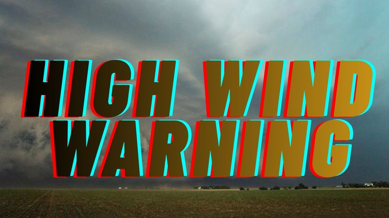
San Antonio, Texas — South Central Texas starts Monday under blustery conditions as a fast-moving cold front pushes through the region, bringing strong north winds, thick cloud cover, and a noticeable drop in temperatures. Flags along roadways snap sharply, tree limbs sway, and loose items slide across pavement as the day begins.
A Wind Advisory remains in effect for the San Antonio area through noon Monday, with sustained north winds of 20 to 30 mph and gusts up to 45 mph, especially in open or elevated locations. Early morning temperatures hover near 55 degrees, but cooler air continues to filter in behind the front.
Wind Advisory Details and Timing
The strongest winds arrive before sunrise and continue through the morning commute, making early travel the most challenging part of the day. Gusts are expected to peak during these hours, gradually easing by late morning and early afternoon.
Meteorologists say this system is part of a broader Arctic surge affecting large portions of the central and eastern United States. While South Texas avoids freezing conditions, the pressure gradient behind the front is strong enough to generate hazardous wind gusts.
By late morning, winds slowly relax, though breezy conditions may persist into early afternoon. Skies remain mostly cloudy, keeping daytime temperatures on the cool side, with highs struggling to reach the low 50s.
Morning Commute Impacts and Travel Concerns
Drivers traveling along I-35, I-10, and Loop 410 should be prepared for sudden crosswinds, particularly near overpasses, interchanges, and open stretches of roadway. High-profile vehicles such as trucks, vans, RVs, and trailers may feel unstable during gusts.
Transportation officials recommend reducing speed, keeping both hands on the wheel, and allowing extra distance between vehicles. Debris blown onto roads can appear quickly, reducing reaction time for motorists.
Pedestrians and cyclists should also use caution, as strong gusts can make walking or riding difficult, especially in exposed areas.
Safety Tips for Windy Conditions
Even without snow or ice, strong winds can pose real hazards. Residents are urged to take simple precautions:
- Secure holiday decorations, patio furniture, trash bins, and other loose outdoor items
- Avoid parking under large trees or near unstable structures
- Charge mobile devices in case of isolated power outages
- Use caution on ladders, scaffolding, and elevated work surfaces
Power disruptions are possible if gusts bring down tree limbs or strain power lines, particularly in older neighborhoods.
Tonight’s Forecast: Calmer and Cooler
Conditions improve significantly by Monday evening as the pressure gradient relaxes. Winds diminish, skies gradually thin, and overnight temperatures fall to around 43 degrees. While cool, the calmer weather makes late-night travel and outdoor plans more manageable.
Warmer Weather Ahead for the New Year
The final days of 2025 show a steady warming trend across the region. Sunshine returns Tuesday, allowing temperatures to rebound into the upper 50s. By Wednesday, highs climb into the mid-60s under mostly clear skies.
Forecast models indicate New Year’s Eve will be quiet and seasonable, ideal for evening celebrations. New Year’s Day 2026 looks especially pleasant, with abundant sunshine and highs near 73 degrees, offering excellent conditions for travel, outdoor gatherings, and holiday events.
Five-Day Outlook for San Antonio
- Monday: Windy, mostly cloudy, high 51
- Tuesday: Mostly sunny, high 58
- Wednesday: Sunny, high 66
- New Year’s Day: Partly sunny, high 73
- Thursday: Mostly cloudy, high 83
Final Takeaway
While South Texas escapes winter’s harsher elements, Monday’s strong winds are a reminder that cold fronts can still disrupt daily routines. Staying alert during the morning hours and securing loose items can help prevent accidents and damage as the region transitions into a warmer, calmer start to 2026.
Share your experiences in the comments below.


