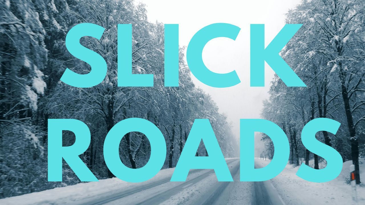
Central Illinois – Light snow moving across central Illinois, combined with powerful wind gusts, is creating periods of reduced visibility and potentially dangerous travel conditions as winter weather returns to the region.
According to the National Weather Service in Central Illinois, snow began spreading from west to east Sunday evening and is expected to continue progressing overnight. Forecasters say strong northwest winds, with gusts exceeding 45 miles per hour, are likely to cause blowing snow and sudden drops in visibility, particularly on open and rural roadways.
Light Snow but High Impact Conditions
While overall snowfall totals are expected to remain light, officials stress that the combination of snow and strong winds significantly increases travel risks. Blowing snow may obscure lane markings and make it difficult for drivers to see other vehicles, especially during overnight hours.
Even minor snow accumulation can lead to slick spots, particularly as temperatures fall late Sunday night. Bridges, overpasses, and untreated roads are expected to be the first areas to become hazardous.
Wind Gusts Reduce Visibility on Open Roads
Northwest wind gusts topping 45 mph are expected to persist through the night, creating frequent bursts of blowing snow. These conditions can cause visibility to change rapidly, catching drivers off guard.
Transportation officials warn that drivers may encounter near white-out conditions for short periods, especially in open farmland areas common across central Illinois and along east–west roadways.
Bitter Cold Follows the Snow
In addition to travel concerns, forecasters warn that wind chills will drop below zero by Monday morning, increasing the risk of cold-related exposure. Anyone traveling overnight or during the early Monday commute is urged to dress appropriately for winter conditions and keep emergency supplies in their vehicles.
Outdoor workers, commuters, and anyone stranded due to weather-related delays may be at heightened risk as temperatures continue to fall.
Areas Affected Across Central Illinois
The advisory impacts much of central Illinois, particularly areas along and east of the Illinois River, as the snow band continues its eastward movement overnight. Conditions may vary by location, with the most challenging travel expected where wind exposure is greatest.
Residents are encouraged to remain alert as conditions can deteriorate quickly, even in areas receiving minimal snowfall.
Safety Recommendations for Drivers
Officials recommend the following precautions during the storm:
- Reduce speed and increase following distance
- Watch for icy patches, especially on bridges and shaded roads
- Be prepared for sudden visibility drops due to blowing snow
- Allow extra travel time if driving overnight or early Monday
- Stay updated through local weather and road condition alerts
What to Expect Monday Morning
While snow is expected to taper off as the system moves east, strong winds and dangerous wind chills may persist into Monday morning. Travel conditions may improve gradually, but lingering slick spots and cold temperatures will remain a concern during the early commute.
Conclusion
Although snowfall amounts are expected to stay light, the combination of strong winds, blowing snow, and plunging temperatures makes this weather event potentially dangerous. Officials urge residents to take winter precautions seriously and limit travel when possible until conditions improve.
If you are traveling through central Illinois, stay alert and prepared. Share your experiences in the comments below.