Charleston – West Virginia starts the day under low clouds and mild air, with damp pavement reflecting headlights across the Charleston area. Morning temperatures hover near 58 degrees, creating an unusually warm feel for late December. While conditions remain calm for now, forecasters say a sharp change is coming as winter pushes back in after the weekend.
Calm and Mild Conditions Today
Cloud cover lingers through the day, keeping weather quiet across central West Virginia. Afternoon highs reach around 55 degrees, making travel relatively smooth on major routes such as I-64 and Route 119. Winds stay light, and most roads remain dry, offering a brief window of easy driving before conditions begin to shift.
Meteorologists describe today as the “calm window,” with no significant hazards expected. Still, they advise residents to stay weather-aware, as the pattern changes quickly within the next 24 hours.
Sunday Brings Rain and Stronger Winds
Conditions begin to change on Sunday afternoon. Clouds thicken, and scattered rain develops across the region. Temperatures climb into the upper 60s, adding a springlike feel despite the calendar.
By late afternoon and evening, gusty winds increase, especially along exposed ridges and river valleys. Drivers traveling later in the day should plan extra time, as wind-driven rain may reduce visibility at times.
Rainy Sunday Night Sets Up a Cold Shift
Rain becomes more widespread Sunday night, with steady showers making roads slick and visibility poor in spots. Temperatures fall into the upper 40s and continue dropping overnight. This rapid warm-to-cold transition is key, setting the stage for more hazardous conditions early in the week.
Monday: Unsettled and Cooler
Rain remains likely through much of Monday, with highs cooling back to around 52 degrees. Winds stay brisk, and puddles may linger on secondary roads. Those returning from weekend trips should expect slower commutes, especially during heavier bursts of rain.
Monday Night: Winter Returns
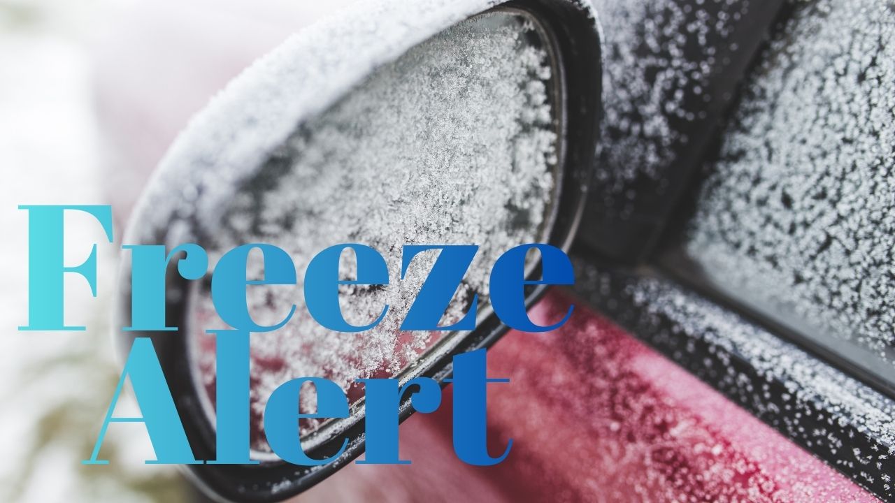
By Monday night, colder air rushes into West Virginia. Overnight lows dip near 21 degrees, and as lingering moisture exits, a brief changeover to snow is possible. Any remaining wet spots could freeze quickly, creating black ice, particularly on bridges, overpasses, and shaded roadways.
Tuesday and Beyond: Cold and Watching for Snow
Tuesday turns sharply colder but brighter, with sunshine returning. Despite the clearer skies, highs struggle near 30 degrees, and wind chills fall into the teens. Forecasters are also monitoring midweek, as another chance of snow could arrive around New Year’s Eve, keeping travelers alert heading into 2026.
Five-Day Outlook for Charleston, WV
- Today: Mostly cloudy and mild; high near 55
- Sunday: Rain developing, breezy; high near 68
- Monday: Rain likely, cooler; high near 52
- Tuesday: Partly sunny and cold; high near 30
- Wednesday (New Year’s Eve): Chance of snow; high near 35
What to Watch For
Meteorologists emphasize that timing may still shift, especially after sunset Sunday as colder air moves in. Residents are urged to monitor updated forecasts and allow extra travel time as conditions evolve.
If you’re already seeing changing weather where you live, share what you’re noticing in the comments