Maryland – Travelers returning home after Christmas may face hazardous conditions as a developing winter storm is expected to bring a mix of freezing rain, sleet, and snow to parts of the state on Friday and into early Saturday.
An increasingly active weather pattern is setting up across Maryland, prompting the WJZ First Alert Weather Team to designate Friday as a First Alert Weather Day. While much of Christmas Day itself looks relatively quiet, conditions are expected to deteriorate rapidly late Friday as colder air and a storm system combine.
Quiet Christmas Weather Before Conditions Change
Aside from a brief round of scattered rain early Christmas morning, much of Maryland is expected to see seasonable and manageable weather through Thursday night. Some sunshine is forecast for Christmas afternoon, with temperatures climbing into the upper 40s and even low 50s in some locations, allowing holiday plans to proceed without major weather concerns.
That calmer pattern will not last long. Colder air is expected to move into the region Christmas night, setting the stage for wintry precipitation on Friday.
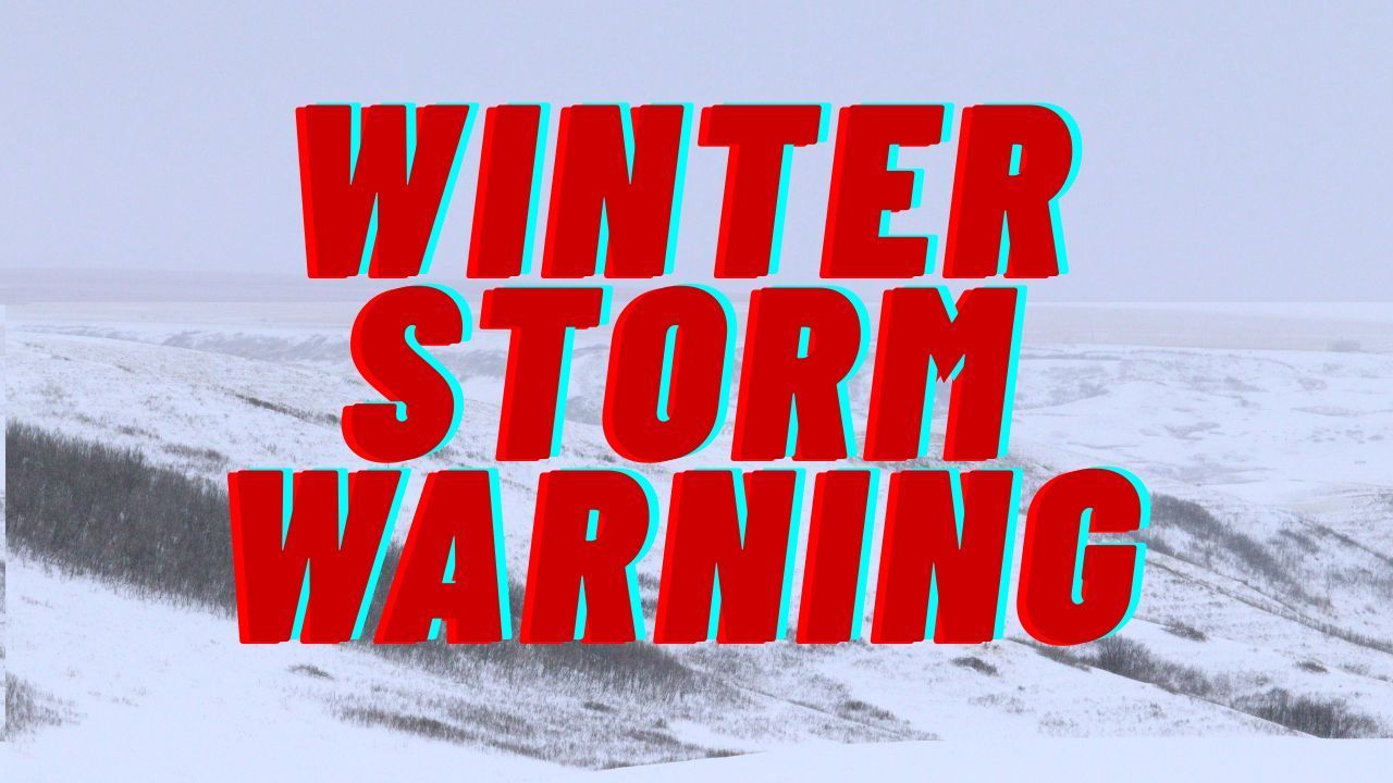
Winter Storm Watch Issued for Western Maryland
A Winter Storm Watch is currently in effect for eastern Garrett County and western Allegany County from 7 a.m. Friday through 1 a.m. Saturday. Forecasters say additional advisories or warnings may be issued for other parts of the state as confidence in the storm track and precipitation types increases over the next couple of days.
Central Maryland, the greater Baltimore area, and parts of the Eastern Shore are increasingly likely to see freezing rain, sleet, and snow developing Friday afternoon and continuing into Friday night.
Timing and Travel Impacts on Friday
Friday morning is expected to remain mostly dry, which may help those with early travel plans. Conditions are forecast to worsen after 2 p.m. Friday, with the arrival of wintry precipitation leading to slick roads and reduced visibility.
The greatest risk for significant travel disruptions appears to be:
- Along and north of the I-70 corridor
- Across northeast Maryland
- In higher elevation areas of western Maryland
Forecasters expect the wintry mix to taper off early Saturday morning.
Freezing Rain a Primary Concern
While snow accumulation remains possible, meteorologists say the main threat from this storm appears to be sleet and freezing rain. If freezing rain becomes widespread, it could lead to dangerous driving conditions, untreated roadways becoming icy, and the potential for sporadic power outages Friday evening and overnight.
There is also a possibility of higher snow totals north of the state line, including southeastern Pennsylvania, with snow extending into Cecil County.
Milder Conditions South of US-50
Areas farther south, including communities along the US-50 corridor, are expected to start with a wintry mix before transitioning to plain rain. As a result, travel impacts should be much more limited across southern Maryland and lower portions of the Eastern Shore compared to northern and western parts of the state.
Brief Improvement Saturday Afternoon
After the storm exits early Saturday, conditions are expected to improve. Forecasts indicate a temporary drying trend and slightly warmer temperatures Saturday afternoon, offering a short break from hazardous weather before another change arrives later in the weekend.
Bitter Cold Possible Early Next Week
Looking ahead, the WJZ First Alert Weather Team is monitoring Monday and Tuesday as potential First Alert Weather Days due to sharply colder temperatures.
Monday may start relatively mild with a chance of showers following a damp Sunday night. However, colder air is expected to surge into the region Monday afternoon and evening. Temperatures are forecast to drop below freezing quickly after sunset, accompanied by gusty winds.
By Tuesday morning, wind chills could hover near 0 degrees, with daytime wind chills remaining in the teens. The bitter cold may pose additional challenges for commuters and anyone spending extended time outdoors.
What Residents Should Do Now
Drivers planning post-Christmas travel should stay alert for updated forecasts and weather alerts, especially if traveling Friday afternoon or evening. Allowing extra travel time, monitoring road conditions, and preparing for possible power interruptions could help reduce risks.
As details become clearer, officials encourage residents to check forecasts frequently and adjust travel plans if necessary. Share your experiences in the comments below.