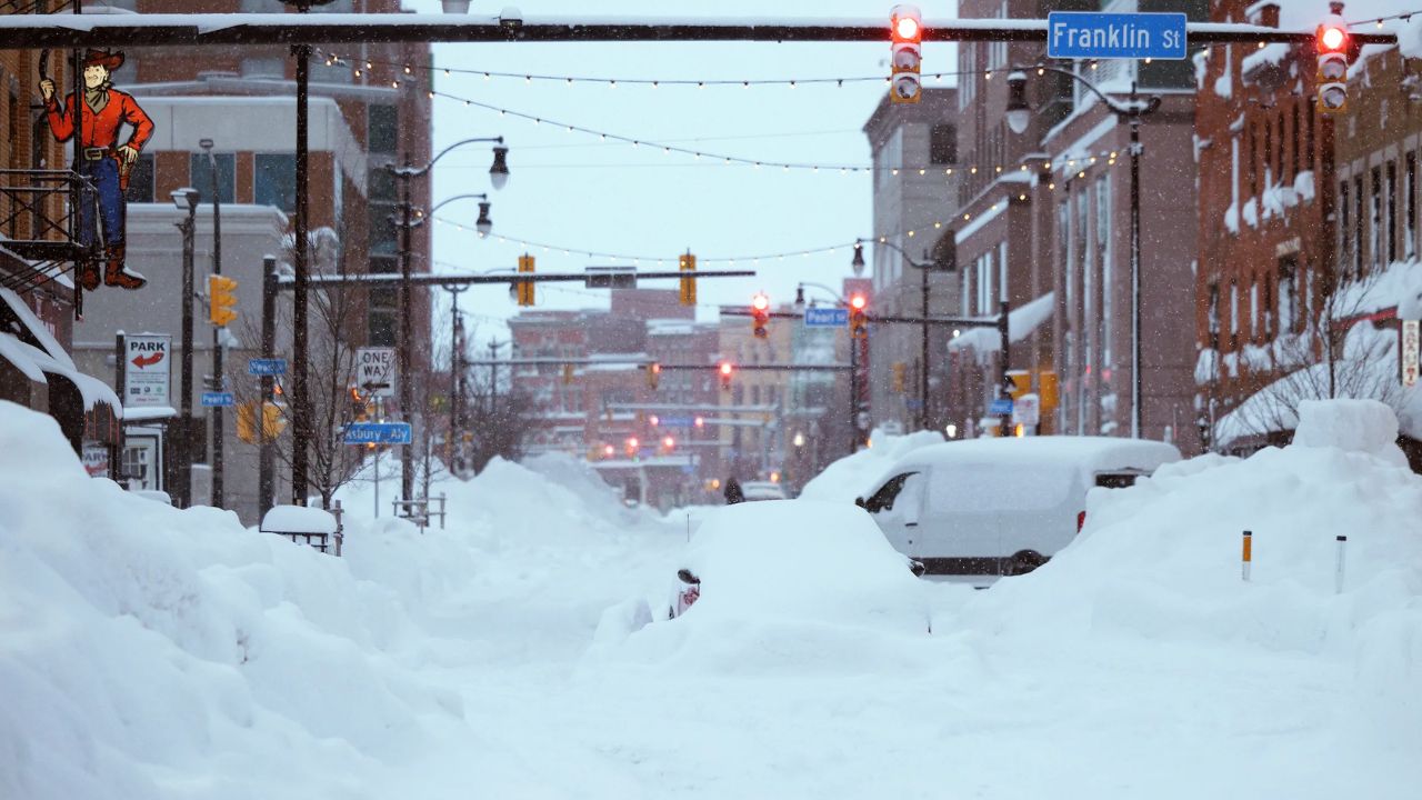
Buffalo, New York – Western New York is waking up to a quiet but cold holiday stretch, with gray skies and damp air masking a developing winter weather system that could quickly change travel conditions by the end of the week. While Christmas travel remains manageable, forecasters warn that snow, sleet, and freezing rain may arrive Friday, creating hazardous driving conditions across the Buffalo region.
Calm Conditions to Start the Holiday Week
Wednesday morning begins on a relatively steady note for Buffalo and surrounding communities. Temperatures sit in the mid to upper 30s, and while clouds linger, roads remain mostly dry. Visibility has improved compared to earlier foggy conditions, allowing smooth travel along major routes such as I-90, Route 33, and local surface roads.
Christmas Day continues this trend. Skies stay partly cloudy with highs approaching the upper 30s, helping to limit icy spots. For many residents heading out for holiday gatherings, weather-related disruptions should be minimal through Thursday morning.
Weather Pattern Shifts Thursday Night
The quiet stretch will not last. By Thursday night, colder air is expected to slide south into western New York as a fast-moving clipper system approaches from the Midwest. Meteorologists are closely monitoring this transition, as temperatures will drop toward the freezing mark just as moisture increases.
This setup creates a narrow but risky window where different types of precipitation can fall in quick succession. Road conditions may change rapidly, especially overnight into Friday.
Wintry Mix Expected Friday Afternoon
By Friday afternoon, precipitation is forecast to develop across the Buffalo area. Snow may initially mix with sleet and freezing rain, particularly as temperatures hover near 31 degrees, a critical threshold for ice formation.
Light ice accumulations are possible, especially in areas south of Buffalo, including parts of Chautauqua and Cattaraugus counties. Even small amounts of ice can significantly reduce traction on untreated roads, bridges, and overpasses.
Travel Conditions Could Deteriorate Quickly
Late Friday is the most concerning period for travel. As temperatures remain near freezing, snow is expected to become more dominant by evening. Reduced visibility, slick pavement, and occasional wind gusts near 20 mph could create pockets of blowing snow.
Drivers heading out after Christmas celebrations should prepare for rapidly changing conditions. Bridges and highway ramps are likely to become slippery first, followed by secondary roads. Evening commuters and long-distance travelers should allow extra time and consider adjusting plans if possible.
Friday Night and Early Saturday Outlook
Friday night remains unsettled, with snow likely to continue at times. Mixed precipitation earlier in the day may make road treatment challenging, and slick pavement could persist into early Saturday morning.
Road crews may face difficulty during periods when snow and freezing rain overlap, increasing the risk of icy stretches even after plowing.
Gradual Improvement by Saturday
Conditions slowly improve on Saturday. While clouds linger, precipitation is expected to taper off, and temperatures rebound toward the upper 30s. Daytime melting should help ease road conditions, though shaded areas may remain slick.
Once the sun sets Saturday evening, temperatures may dip again, raising concerns about refreezing on wet surfaces.
Broader Winter Pattern Across the Northeast
This system is part of a broader winter pattern affecting the Northeast. While major coastal storms are likely to focus on New England, western New York remains vulnerable to secondary impacts such as clipper systems and temperature swings.
Flash freezing remains a concern whenever moisture lingers and temperatures fall quickly after sunset, even when snowfall totals are modest.
Travel Planning Advice for Buffalo Drivers
Residents and visitors should stay alert, especially when traveling south of Buffalo or across higher elevations where conditions can vary sharply over short distances. Monitoring local forecasts and road conditions before heading out Friday afternoon and evening is strongly recommended.
Five-Day Outlook for Buffalo, New York
Today: Partly sunny, high near 35
Christmas Day: Partly sunny, high near 38
Thursday: Mostly cloudy and colder, high near 31
Friday: Snow and wintry mix, high near 31
Saturday: Mostly cloudy with improving conditions, high near 37
Conclusion
While western New York enjoys a relatively calm Christmas, the weather picture changes quickly as the week wraps up. Snow and freezing rain late Friday could create challenging travel conditions across the Buffalo region, especially during the afternoon and evening hours. Careful planning and extra caution on the roads will be key as winter weather reasserts itself.
Share your experiences in the comments below.