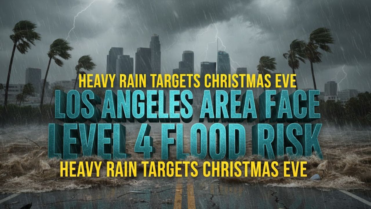
Los Angeles, Calif. — The Los Angeles region is bracing for excessive rainfall and a high risk of dangerous flooding through Christmas Eve, with forecasters warning that some communities could see a month’s worth of rain fall in just a few days. According to Fox Weather, parts of Southern California are now under a rare Level 4 out of 4 flood risk, the highest category issued by forecasters.
Rare Level 4 Flood Risk Expands Across Southern California
Areas just north of Los Angeles, including Santa Clarita and Glendale, are among those most at risk, with the National Weather Service expanding the high-risk zone to include Burbank, Altadena, and Thousand Oaks. A Level 4 risk signals the potential for severe and widespread flash flooding, including in places that may not have flooded before.
Forecasters say rainfall totals could be extreme over a short period, increasing the likelihood of rapid runoff, overwhelmed drainage systems, and life-threatening conditions.
Atmospheric River Brings Intense Rain and Powerful Winds
Heavy rain began pushing into Northern California on Sunday as the next atmospheric river system moved ashore. At least one death has already been reported, with some locations recording nearly a foot of rain.
As the system strengthens while moving south, wind gusts along the coast could reach up to 80 mph, according to the FOX Forecast Center. Rain rates in Southern California could approach one inch per hour, enough to quickly flood roads, neighborhoods, and low-lying areas.
Evacuation Warnings Issued Near Burn Scars
Officials are particularly concerned about areas recently affected by wildfires. Burn scars dramatically increase flood risk because fire-damaged ground repels water instead of absorbing it.
The Los Angeles Fire Department has issued evacuation warnings for debris flows in vulnerable zones from 11 a.m. to 11 p.m. Thursday, and residents in Pacific Palisades have been urged to prepare for possible evacuations. Authorities advise residents to monitor official city and county updates closely as conditions evolve.
Why High-Risk Flood Days Are So Dangerous
High-risk flood alerts are rare, issued on only about 4% of days, but they account for a disproportionate share of flood-related destruction. Research from Weather Prediction Center meteorologists shows these days are responsible for 39% of flood-related fatalities and 83% of flood-related damage nationwide.
Studies also indicate that 6% of high-risk flood days involve at least one fatality or injury, and 62% result in damages exceeding $1 million. Even everyday places such as streets, parking lots, subway systems, and homes can quickly become hazardous.
Officials Urge Residents: “Turn Around, Don’t Drown”
Emergency officials continue to emphasize the message “turn around, don’t drown.” Nearly half of all flash-flood deaths occur in vehicles, according to the Federal Emergency Management Agency. Just a small amount of moving water can sweep cars off roads.
The impending rain event could affect nearly five million people, with the Transverse Ranges and much of Southern California expected to see significant totals.
Mudslides Likely as Rain Intensifies
With heavy rainfall forecast over a short window, the FOX Forecast Center warns that numerous mudslides are likely, especially near recent burn areas such as the Palisades and Eaton fire zones. Ash and burned soil create a water-repellent layer, making these areas especially prone to debris flows.
Flood Watches remain in effect for much of California through at least Friday, and forecasters say this could rank among the wettest Christmas Eve to Christmas Day periods on record for Los Angeles.
Residents are urged to stay alert, avoid flooded roadways, and prepare for rapidly changing conditions as the storm system continues to move through the region.