United States – Christmas holiday travel is officially underway, and a series of weather systems could create significant challenges for drivers and airline passengers over the next several days. While some regions catch brief breaks, others face repeated rounds of rain, snow, wind, and low visibility just as travel volume peaks.
Monday Travel Outlook
For most travelers, Monday offers one of the calmer windows before conditions deteriorate.
West Coast and Rockies
Bands of locally heavy rain may linger in Northern California, including the Bay Area, raising the risk of flash flooding and landslides in vulnerable locations. Farther north, Washington state and western Oregon continue to see rain in lower elevations and snow in the Cascades. The northern Rockies can expect valley rain with accumulating mountain snow.
South
Only scattered showers are expected along parts of coastal Texas, Louisiana, and the lower Mississippi Valley. While impacts should remain minor, low clouds could still slow operations at some airports.
Midwest
Light snow, possibly mixed with sleet or freezing rain, may develop around the Great Lakes later in the day. Even light accumulation could lead to slick roads during evening travel.
Tuesday: A Critical Pre-Holiday Travel Day
Tuesday is shaping up to be one of the most problematic travel days before Christmas Eve, with impacts expected on both coasts.
Eastern U.S.
Parts of the Northeast may see light snow, sleet, or freezing rain, especially across New England and interior areas from northern Pennsylvania through central and upstate New York. Some wintry precipitation could briefly reach the New York City Tri-State area, particularly early in the day. Elsewhere, rain and gusty winds may affect the mid-Atlantic, Ohio Valley, and Tennessee Valley.
Western U.S.
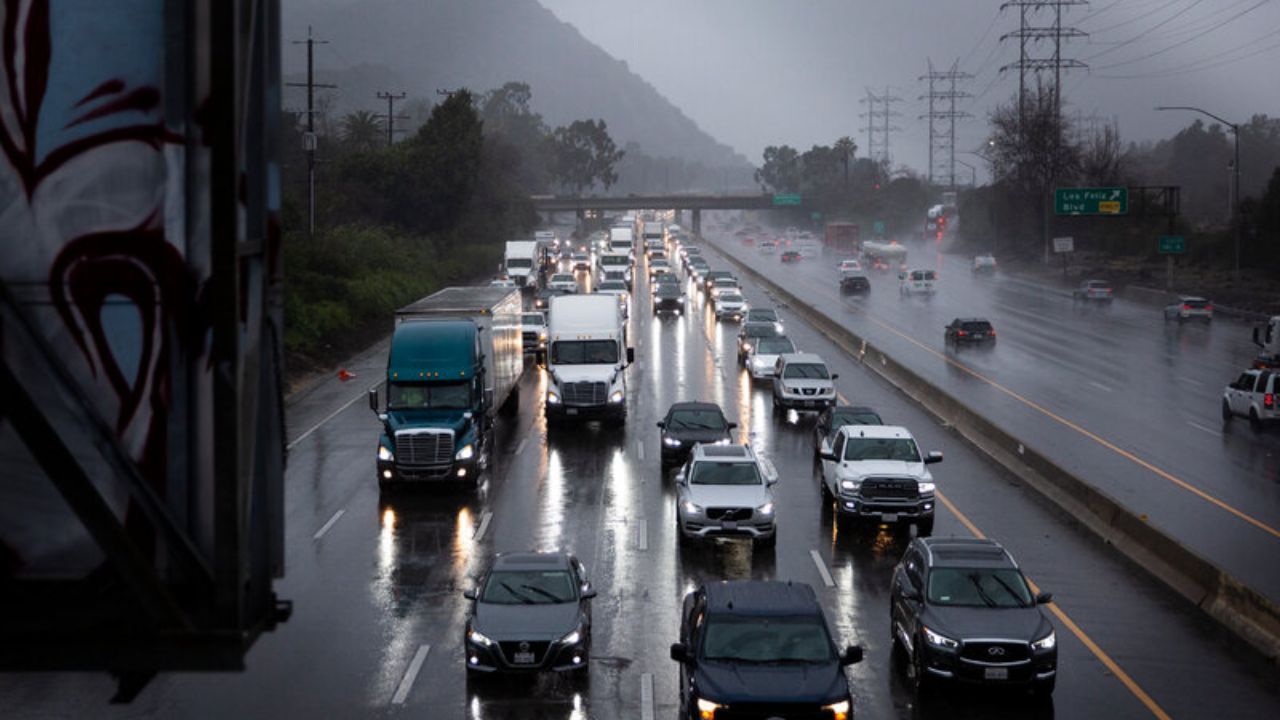
A stronger Pacific storm is expected to push into California, bringing heavy rain and strong winds—first in Northern California, then spreading south into Southern California Tuesday night. Moisture from this system may also reach Washington, Oregon, northern Idaho, and far northwest Montana, producing rain in lower elevations and snow in the mountains.
Christmas Eve: Major Issues in the West
Christmas Eve could bring the most widespread travel disruptions, particularly west of the Rockies.
West
Heavy rain is likely to persist across much of California, including the Los Angeles Basin, San Diego, and the Bay Area. Rain could also extend into the Desert Southwest, reaching the Las Vegas Valley and possibly as far east as Phoenix. Flash flooding remains a concern, especially near recently burned wildfire areas. In the mountains, dangerous travel conditions are possible along Interstate 80 through the Sierra Nevada due to heavy snow and reduced visibility.
Central and Eastern U.S.
While major winter storms are not expected, low clouds, fog, and light showers could develop across parts of the Midwest as warmer, humid air moves north. These conditions may trigger morning flight delays at large hub airports.
Airports at higher risk for delays: Los Angeles, San Francisco, San Diego, Las Vegas, Phoenix, Seattle, Chicago, Kansas City, Cincinnati.
Christmas Day Forecast
Travel challenges continue on Christmas Day, especially in the West, while new uncertainties emerge farther east.
West
Another potent Pacific storm could bring additional heavy rain, strong winds, and heavy mountain snow across California and much of the broader West. Valley rain and high-elevation snow may extend into the Northwest, Great Basin, Desert Southwest, and Rockies, prolonging hazardous driving conditions.
Midwest and Northeast
Forecast models still differ on exact details, but light rain is possible during the day across parts of the Great Lakes and Ohio Valley. By evening, colder air over upstate New York and northern New England could allow light freezing rain, sleet, or snow to develop. Strong winds may also affect the Plains, Great Lakes, Ohio Valley, and mid-Atlantic, potentially complicating air travel.
Potential Christmas Day flight delay hubs: Los Angeles, San Francisco, San Diego, Las Vegas, Chicago (wind), New York (low clouds and wind), Philadelphia.
Day After Christmas: Storms Continue
Weather-related travel disruptions may linger into the day after Christmas.
West
The Pacific storm system that moves onshore Christmas Day is expected to track east across the Intermountain West, delivering more rain, wind, and mountain snow. The Sierra Nevada, Cascades, and Rockies could again see accumulating snow, while lower elevations and the West Coast remain wet.
Northeast
Showers may persist across the Ohio Valley and southern portions of the Northeast, with precipitation gradually transitioning to snow across New England as colder air filters in.
What Travelers Should Keep in Mind
Officials, including forecasters from the National Weather Service, advise travelers to monitor forecasts closely, allow extra travel time, and prepare for delays—especially in areas expecting heavy rain, snow, or low visibility. Mountain travel may require chains or winter tires, and flight schedules could change quickly as conditions evolve.
If you’re traveling for the holidays, consider flexible departure times and alternate routes when possible. Share your experiences in the comments below.