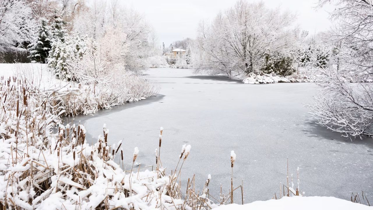
United States – A white Christmas remains likely only in the familiar cold-weather strongholds of the upper Midwest, Mountain West, upstate New York, and northern New England, while a broad thaw is steadily shrinking snow cover across much of the Midwest and Northeast.
What meteorologists mean by a “white Christmas”
Meteorologists use a precise definition: at least 1 inch of snow on the ground on Christmas morning. It is snow cover, not snowfall during the day, that counts. That means a late-day inch of snow on Christmas does not qualify if the ground was bare that morning.
Latest outlook for Christmas morning snow cover
White Christmas Chances Narrow as Warming Trend Erodes Snow Cover Across Much of the U.S.
United States – A white Christmas remains likely only in the familiar cold-weather strongholds of the upper Midwest, Mountain West, upstate New York, and northern New England, while a broad thaw is steadily shrinking snow cover across much of the Midwest and Northeast.
What meteorologists mean by a “white Christmas”
Meteorologists use a precise definition: at least 1 inch of snow on the ground on Christmas morning. It is snow cover, not snowfall during the day, that counts. That means a late-day inch of snow on Christmas does not qualify if the ground was bare that morning.
Latest outlook for Christmas morning snow cover
The most recent forecast highlights the best odds in areas shaded in the darkest teal, where 1 inch or more of snow cover is most likely by Christmas morning. Lighter teal indicates a chance, but not a guarantee. Regions shaded gray face slim odds and may be looking ahead to next year instead.
While details can still shift as Christmas approaches, forecasters expect the overall shape of the snow-cover map to remain similar.
This year compared with last
Early indications suggest less holiday snow cover than last year, which itself fell below average. According to National Oceanic and Atmospheric Administration, only 26 percent of the country had snow on the ground last Christmas morning, underscoring how limited widespread white-Christmas conditions have become in recent seasons.
Why snow is vanishing east of the Rockies
The outlook looks strikingly different from the recent pattern many experienced. Portions of the mid-Atlantic and the I-95 corridor saw their first snow of the season last weekend, and a snowy stretch followed Thanksgiving across a broad Midwest swath from Iowa and the Ohio Valley to the Great Lakes.
Some cities had exceptional early-season snowfall:
- Springfield, Illinois logged 18.9 inches, its snowiest start to a winter season since 1893, nearly matching its full-season average of 21.8 inches.
- Chicago’s O’Hare Airport has already accumulated almost as much snow as it received all last winter, and it is still mid-December.
Cold also made headlines. Several Midwest and Eastern cities—including Green Bay, Wisconsin; Cleveland, Ohio; and Scranton, Pennsylvania—ranked among the 10 coldest first halves of December on record, according to regional climate data.
Despite that start, the pattern is changing.
Short-lived refreshers, then rain or late arrival
Light snow Monday night into Tuesday could briefly freshen snowpack in parts of the Northeast, but it is unlikely to provide meaningful cover along the I-95 corridor from New York City southward. A second system later in the week may bring more rain than snow, or arrive after Christmas morning, limiting white-Christmas prospects.
A warmer trend dominates Christmas week
A broad warming trend is expected to hold through Christmas week, including areas of the snow-covered Midwest. From Christmas Day toward New Year’s Eve, much of the Lower 48 is forecast to run near or above average temperatures.
Cold fronts will still pass through, but these intrusions are expected to stay closer to the northern tier and lack the staying power of recent cold snaps. The result is continued erosion of snow cover across the Midwest and Northeast.
Where snow may still fall through Christmas
Given the warmer setup, little snow is expected across the eastern two-thirds of the country, except near the Canadian border and in Great Lakes snowbelts.
The West tells a different story. Mountain snow is expected to continue through Christmas, especially in the Cascades, Sierra Nevada, and northern Rockies. Recent warmth and rain-heavy systems reduced snowpack there, so incoming snow will be a welcome boost—particularly for ski areas.
In the Northeast, odds improved modestly over the weekend for higher elevations of eastern New York and New England, where elevation and colder air can still tip the balance toward a white Christmas.
Bottom line
A classic white Christmas will be spotty rather than widespread this year. Traditional cold-weather regions still have a good shot, mountain destinations look promising, and higher elevations in the Northeast remain in play. Elsewhere, warming temperatures are likely to keep the ground bare by Christmas morning.
Share your experiences in the comments below.