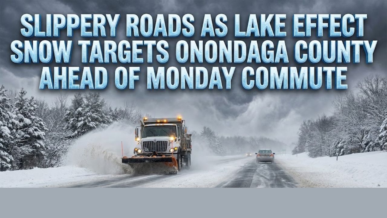
Syracuse, New York – Drivers across Central New York are facing slick and snow-covered roadways Sunday night as a persistent lake effect snow band continues to impact Onondaga County, raising concerns for hazardous travel conditions during the Monday morning commute.
According to the National Weather Service, a Winter Weather Advisory remains in effect for Onondaga County until 7 a.m. Monday. The advisory comes as lake effect snow showers produce widespread accumulations of 3 to 5 inches, with the heaviest snowfall expected across the northern half of the county.
Lake Effect Snow Intensifies Overnight
Forecasters say northwest portions of Onondaga County, particularly areas outside the city of Syracuse, are most likely to receive the highest snowfall totals. Snow bands have been slow-moving at times, allowing accumulations to build quickly in localized areas.
Lake effect snow is known for its narrow but intense bands, meaning conditions can vary significantly over short distances. One neighborhood may see only light snow, while another just a few miles away experiences heavy snowfall and near-whiteout conditions.
Hazardous Travel Conditions Expected
Snow-covered roads and reduced visibility are anticipated overnight, especially on untreated roadways, secondary streets, and elevated surfaces such as bridges and overpasses. As temperatures remain cold, snow is expected to stick to pavement, increasing the risk of icy patches.
Motorists traveling early Monday should plan for slower travel speeds and longer commute times, particularly in areas north of Syracuse where snowfall rates may be highest. Visibility may drop suddenly beneath heavier snow bands, making nighttime and early morning driving especially dangerous.
Conditions East of Onondaga County
Farther east, Northern Oneida County remains under a Winter Weather Advisory until midnight Sunday night. Lake effect snow is expected to produce up to one inch of additional accumulation, particularly around Boonville and nearby communities.
While snowfall totals in Oneida County are lower, even light accumulations can lead to slick road conditions, especially as temperatures drop overnight and road surfaces cool.
Safety Guidance for Drivers
Officials urge drivers to take extra precautions when traveling during lake effect snow events. Recommended safety steps include:
- Reducing speed and allowing extra stopping distance
- Increasing following distance between vehicles
- Using headlights to improve visibility
- Avoiding unnecessary travel overnight when possible
Road conditions can deteriorate quickly when a lake effect band shifts or intensifies, even if roads were previously clear.
What to Expect Monday Morning
The lake effect snow band is expected to gradually weaken or shift by Monday morning, but lingering snow showers could still impact the early commute. Plow crews will continue working overnight, though repeated bursts of snow may limit their effectiveness until snowfall tapers off.
Drivers heading out before sunrise should remain alert for changing conditions and check local traffic updates before departing.
Staying Informed
Warnings and advisories remain in effect across parts of Central New York, and additional updates may be issued if snowfall persists longer than expected. Residents are encouraged to monitor local forecasts and heed guidance from emergency management officials as conditions evolve.
As lake effect season ramps up, forecasters remind the public that flexibility in travel plans and preparedness can make a significant difference during winter weather events.
Share your experiences with road conditions or snowfall in your area in the comments below.