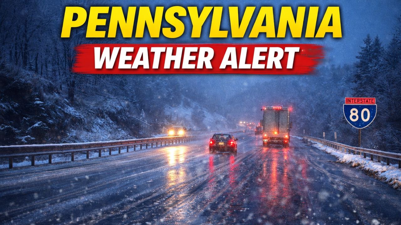
Pittsburgh, Pennsylvania — Drivers across northern and western Pennsylvania should prepare for slick and potentially icy travel conditions early Tuesday morning as a developing weather system brings a brief but impactful round of wintry precipitation to the region.
According to forecasters with the National Weather Service in Pittsburgh, precipitation will arrive after midnight Monday night, beginning as snow before quickly transitioning to rain as warmer air pushes northward. While many lower-elevation areas are expected to change over to plain rain, communities along Interstate 80 and higher-elevation ridges face a greater risk of freezing rain and a light glaze of ice during the early morning hours.
I-80 Corridor Faces Highest Ice Risk
The greatest concern is across northern Pennsylvania, particularly near the I-80 corridor, where surface temperatures may remain near or below freezing just long enough for ice to form on untreated surfaces.
Even a thin glaze of ice can create dangerous conditions, especially on:
- Bridges and overpasses
- Elevated roadways
- Shaded or rural routes
- Untreated secondary roads
Transportation officials warn that early-morning commuters may encounter sudden slick spots, even if main highways appear wet rather than icy. Drivers are urged to reduce speed and remain alert, as ice can be difficult to see, especially before sunrise.
Higher Ridges Could See Brief Freezing Rain
In western Pennsylvania’s ridges and elevated terrain, temperatures often lag behind nearby valleys. Forecasters say this could allow brief freezing rain before readings rise enough for rain.
Although ice accumulations are expected to remain light, the timing is a concern. Icing during the pre-dawn and early commute window increases the risk of vehicle spinouts and minor accidents, particularly on winding roads and steep grades.
Pittsburgh Area Mostly Rain, But Caution Still Advised
Farther south and west, including the Pittsburgh metro area, snow is expected to change quickly to rain, with little to no ice accumulation expected. However, officials caution that conditions can vary dramatically over short distances.
Drivers traveling overnight from the city toward higher elevations may encounter rapidly changing road conditions, shifting from wet pavement to icy stretches in just a few miles.
Safety Tips for Overnight and Early Travel
Motorists planning to travel late Monday night or early Tuesday morning are advised to take extra precautions, including:
- Reducing speed and increasing following distance
- Avoiding sudden braking or sharp turns
- Watching closely for icy patches on bridges
- Allowing extra time for morning commutes
Pedestrians should also be cautious, as sidewalks, steps, and parking lots may become slick where freezing rain occurs.
Read Also: Georgia Weather Alert This Weekend: Atlanta Gets a Brief Winter Tease Before Christmas Travel
Advisories and Updates Possible
Meteorologists say Winter Weather Advisories may be issued if confidence in ice impacts increases overnight. The system is expected to move through fairly quickly, with temperatures rising above freezing later Tuesday morning, allowing conditions to improve.
Still, even a short-lived icing event can cause outsized travel impacts, especially during peak commuting hours.
Residents are encouraged to monitor local forecasts and alerts, as small changes in temperature could significantly affect how much ice forms and where.
Are you traveling along I-80 or through higher elevations early Tuesday? Share what conditions look like in your area and whether you’re adjusting your plans in the comments.