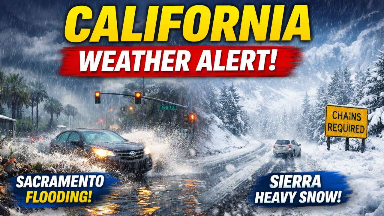
Sacramento, California — A powerful atmospheric river is sweeping across California this week, delivering flooding rain, gusty winds, and heavy mountain snow as the state braces for a prolonged stretch of dangerous weather that could disrupt travel and daily life through midweek.
Forecasters with the National Weather Service say the moisture-rich system will move slowly, allowing rain and snow to pile up over multiple days. As a result, flood risks are increasing quickly, particularly in Northern California, while the Sierra Nevada faces hazardous winter conditions with snow accumulating at higher elevations.
Flooding Risk Grows Across Northern California
Northern California is expected to see the most intense rainfall, especially along west-facing slopes and foothill communities near the northern Sierra Nevada. Meteorologists warn that several inches of rain could fall in a short time, increasing the threat of flash flooding.
Urban areas are also vulnerable as storm drains struggle to keep up with runoff. Low-lying streets, underpasses, and areas with poor drainage could flood rapidly during heavier bursts of rain. Officials caution that drivers should never attempt to cross flooded roadways, even if water appears shallow.
Burn scars remain another major concern. Soil in these areas cannot absorb water efficiently, making them highly susceptible to debris flows and sudden flooding, especially overnight or during intense downpours.
Central and Southern California Impacts Expand
As the atmospheric river continues southward, Central and Southern California will also feel its effects. While rainfall totals may vary, mudslides, rockfalls, and slope failures are possible in mountainous and hillside areas.
Communities near canyon roads and steep terrain are urged to stay alert, as conditions can deteriorate quickly with little warning. Emergency officials recommend keeping evacuation routes clear and monitoring local alerts if heavy rain persists.
Read Also: Georgia Weather Alert This Weekend: Atlanta Gets a Brief Winter Tease Before Christmas Travel
Sierra Nevada Braces for Heavy Snow
In the Sierra Nevada, the storm is producing prolonged periods of heavy snowfall, making travel increasingly dangerous. Snow levels will fluctuate, but higher elevations are expected to receive significant accumulations through the middle of the week.
Mountain passes could become difficult or impossible to cross, particularly during peak snowfall and strong wind gusts. Blowing snow may reduce visibility, and chain controls or full road closures are likely at times.
Officials also warn about snow-load impacts as snow piles up on trees and structures. Heavy snow combined with wind increases the risk of downed branches and localized power outages in mountain communities.
Gusty Winds Add to Hazards
Along with rain and snow, the storm is bringing gusty winds, especially across ridgelines, foothills, and open terrain. These winds could knock down trees and power lines, compounding the risk of outages and blocked roadways.
Residents are advised to secure loose outdoor items, avoid parking beneath trees, and prepare for possible brief interruptions to power and services.
Travel Disruptions Expected to Worsen
With impacts stretching across much of the state, travel disruptions are expected to increase through midweek. Drivers should plan for slower commutes, flooded highways, mountain pass closures, and weather-related delays.
Those traveling through the Sierra Nevada or coastal mountain ranges should check road conditions frequently and consider postponing trips if conditions worsen.
Air travel may also be affected, with delays possible at airports during periods of heavy rain or strong winds.
More Alerts Likely Through the Week
Forecasters say this storm system will remain active for several days, and additional watches and warnings are likely as rainfall and snowfall totals continue to climb.
Emergency officials recommend that residents:
- Stay updated with local weather alerts
- Avoid unnecessary travel during peak storm periods
- Never drive through flooded roads
- Prepare emergency supplies in case of power outages
While the storm will bring much-needed rain and snowpack to California, its intensity means short-term risks remain high for flooding, landslides, and dangerous travel.
Have you experienced flooding, heavy rain, or snow where you live during this storm? Share what you’re seeing and how conditions look in your area in the comments below.