Detroit, Michigan – Drivers across metro Detroit and much of southeast Michigan are starting the day with deceptively dangerous conditions as cold air moves in and lingering moisture begins to freeze. Pavement that appears merely wet early this morning can quickly turn icy, creating hazards for commuters, pedestrians, and anyone traveling during the day.
Cold Air Creates Early Morning Hazards
According to the National Weather Service, temperatures near the freezing mark early today are dropping steadily as colder air tightens its grip on the region. This temperature slide allows residual moisture on untreated roads, sidewalks, and parking lots to freeze, increasing the risk of slick surfaces during the morning hours.
Wind chills are already falling into the single digits and low teens, even while actual air temperatures remain in the upper 20s. The cold intensifies through the afternoon as winds strengthen.
Light Snow Develops, Visibility Drops at Times
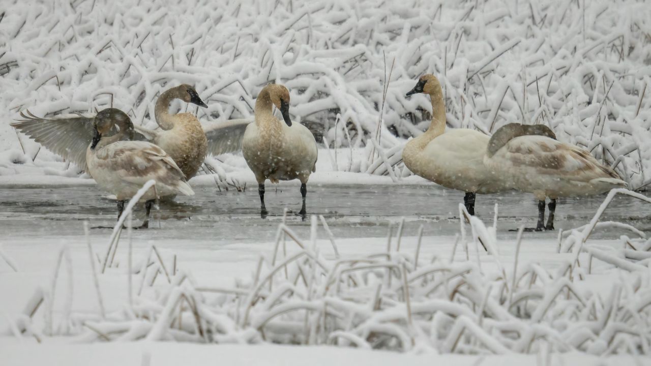
Scattered light snow showers are expected to develop late this morning and continue into the afternoon. While most neighborhoods will see only a dusting, some localized areas could pick up up to 1 inch of snow during heavier bursts.
Snowfall combined with strong winds may reduce visibility, particularly on open and exposed roadways. Travel along major corridors such as I-75, I-94, and I-96 could become difficult at times, especially during brief snow squalls.
Gusty Winds Add to Travel Concerns
Winds increase significantly through the afternoon, with gusts reaching 30 to 40 mph. These winds pull heat away from exposed skin quickly, making outdoor conditions feel far colder than temperatures alone suggest.
For drivers, the wind can also push vehicles unexpectedly, especially high-profile vehicles like trucks and vans. Blowing snow may briefly obscure lane markings and create uneven road conditions.
Officials urge motorists to watch closely for black ice, which commonly forms on bridges, ramps, overpasses, and shaded streets where surfaces cool faster.
Evening Refreeze Likely After Snow Ends
Snow showers are expected to taper off by evening, but the danger does not disappear after precipitation ends. Overnight temperatures drop to around 20°F, allowing any melted snow or daytime moisture to refreeze quickly after sunset.
Roads that seem manageable during the afternoon could become icy again during the evening commute and overnight hours. Walking surfaces may also become slick, increasing the risk of falls.
What to Expect This Weekend
Saturday remains cold and mostly cloudy, with highs around 38°F. While snowfall chances are low, lingering cold means icy patches could persist in untreated areas.
Sunday brings quieter weather with more sunshine, but temperatures stay well below seasonal comfort, topping out near 28°F. Cold mornings and refreezing remain a concern.
Looking Ahead Toward Christmas Travel
Forecasters are monitoring a transition pattern heading into next week. Temperatures are expected to fluctuate as warmer air tries to move back into the region, increasing the potential for rain or snow, depending on small temperature shifts.
This type of early winter setup can create significant travel impacts, especially during busy holiday travel periods. Even minor changes in timing or temperature could determine whether precipitation falls as rain, snow, or a mix.
Five-Day Forecast Snapshot
Saturday: Mostly cloudy, high 38°F
Sunday: Mostly sunny, high 28°F
Monday: Mostly cloudy, high 34°F
Tuesday: Chance of rain/snow mix, high 42°F
Wednesday: Mostly cloudy, high 41°F
Safety Tips for Today’s Conditions
Drivers are advised to slow down, increase following distance, and remain alert for sudden slick spots. Pedestrians should wear footwear with good traction and take extra care on stairs, sidewalks, and parking lots.
Conditions may change quickly throughout the day, especially as winds increase and temperatures fall.
Share your experiences in the comments below.