Stevens Pass, Washington – A powerful winter storm is set to impact the central Washington mountains after a Winter Storm Warning was issued Monday afternoon for Western Chelan County, bringing heavy snowfall, strong winds, and potentially dangerous travel conditions starting Tuesday.
Forecasters say the storm could deliver significant snow accumulations, especially at higher elevations, creating hazardous conditions along major mountain routes, including Stevens Pass.
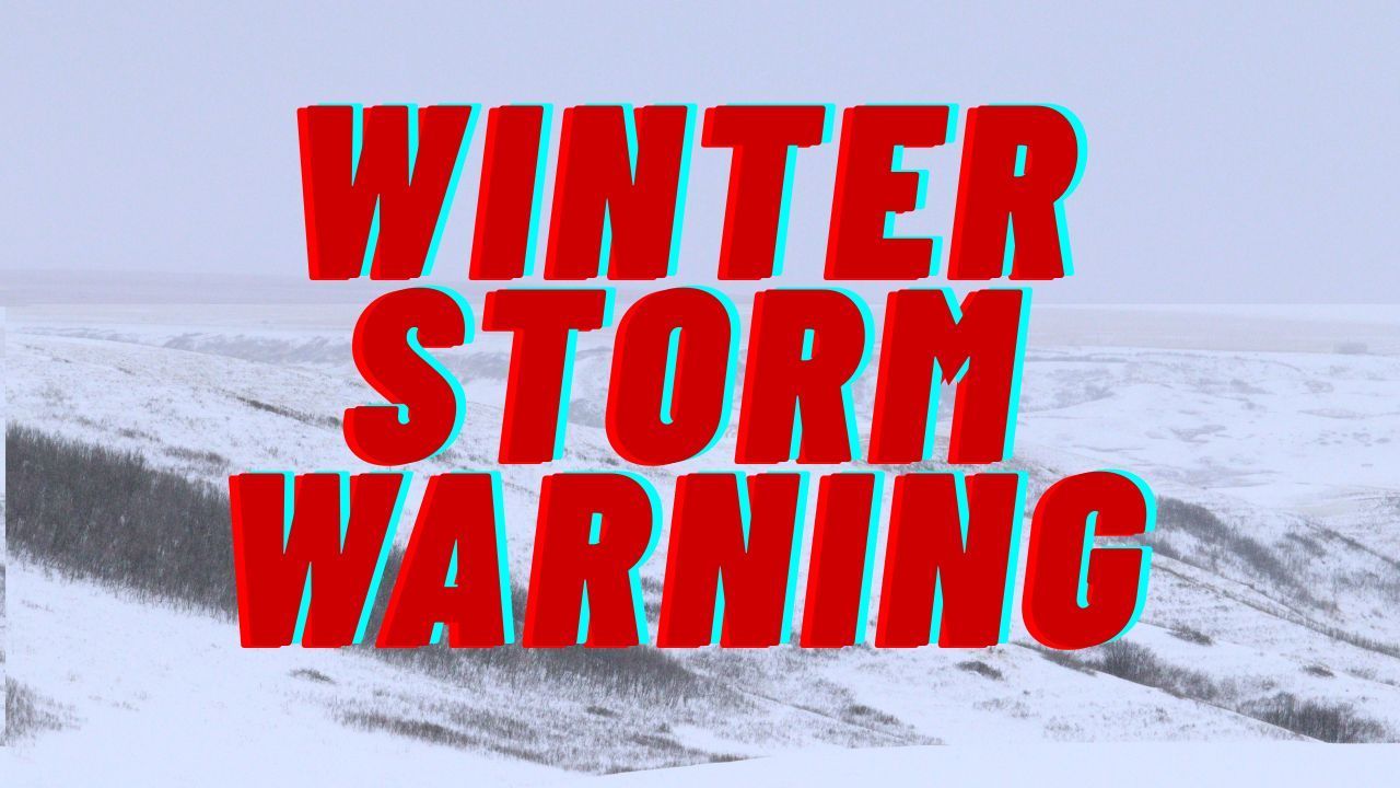
Winter Storm Warning Details
According to the National Weather Service in Spokane, the Winter Storm Warning remains in effect from 4 p.m. Tuesday through 10 p.m. PST Wednesday. During this period, snowfall totals of 8 to 18 inches are expected across higher elevations such as Stevens Pass and Holden Village.
Lower elevations are also likely to see notable snowfall, with 4 to 8 inches forecast near Stehekin. Snowfall rates could intensify at times, making travel increasingly difficult.
Strong Winds and Visibility Concerns
In addition to heavy snow, wind gusts between 30 and 50 mph are expected across exposed ridges and mountain passes. These strong winds may cause blowing and drifting snow, sharply reducing visibility.
Forecasters warn that near-whiteout conditions are possible at times, particularly along open stretches of highway and higher terrain. These conditions can develop rapidly, leaving drivers with little time to react.
Travel Impacts Expected Tuesday and Wednesday
The storm is expected to significantly affect travel during the Tuesday evening and Wednesday morning commute periods, when snow and wind impacts are likely to peak.
Roads through Stevens Pass may become snow-covered, slick, or impassable, and gusty winds could lead to falling tree debris, increasing the risk of accidents. Officials caution that travel could become extremely hazardous or impossible at times.
Mountain communities should also prepare for the possibility of temporary road closures or restrictions, depending on how conditions evolve.
Upgrade From Watch to Warning
The Winter Storm Warning was issued at 2:07 p.m. Monday, upgrading an earlier Winter Storm Watch as forecasters gained confidence in both snowfall totals and wind intensity.
Officials note that the combination of heavy snow and strong winds increases the likelihood of tree damage and isolated power disruptions, particularly in higher-elevation communities and forested areas.
Safety Guidance for Drivers and Residents
Drivers planning to travel through Stevens Pass or surrounding mountain routes are strongly urged to reconsider nonessential travel during the warning period.
Those who must travel should be prepared for rapidly changing conditions and are advised to carry emergency supplies, including:
- Extra food and water
- Warm clothing and blankets
- A flashlight with spare batteries
- Fully charged mobile devices
Even short delays can become dangerous in severe winter weather if travelers are unprepared.
Monitoring Road Conditions
The Washington State Department of Transportation recommends checking mountain pass conditions frequently, as closures or traction restrictions may be implemented with little notice if conditions worsen.
Road crews will be monitoring conditions closely, but heavy snowfall and high winds can slow clearing efforts, especially during peak storm intensity.
What to Expect Going Forward
The storm is expected to taper off late Wednesday evening, but lingering snow and icy conditions may persist into Thursday morning. Travelers should remain cautious even after snowfall ends, as reduced visibility, compacted snow, and icy patches can continue to pose risks.
Officials emphasize that winter storms in the Cascades can escalate quickly, and conditions may change faster than forecasts suggest.
Residents and travelers are encouraged to stay informed through official weather updates and transportation advisories, and to prioritize safety over travel plans.
If you live in or plan to travel through the Stevens Pass area, share how you are preparing for the storm in the comments below.