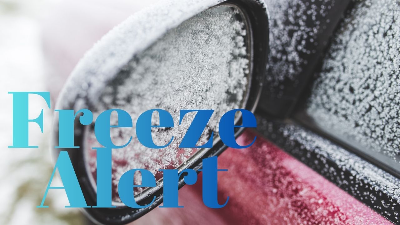
Wilmington, North Carolina – An unusual December cold snap grips North Carolina’s coast this morning as Arctic air pushes into the region overnight, sending temperatures and wind chills to hazardous levels during early hours.
Residents in Wilmington woke to temperatures hovering near 20°F, with wind chills around 6°F, making brief outdoor exposure uncomfortable and potentially dangerous. According to the National Weather Service in Wilmington, a Cold Weather Advisory remains in effect until 9 a.m., covering much of southeastern North Carolina and parts of coastal South Carolina.
Cold Weather Advisory in Effect This Morning
Meteorologists warn that exposure to these low temperatures without proper protection can lead to hypothermia or frostbite, especially during prolonged outdoor activity.
Officials advise residents to:
- Wear insulated layers, including hats and gloves
- Limit time outdoors during early morning hours
- Check on elderly neighbors and vulnerable individuals
While coastal North Carolina rarely experiences such sharp cold in December, forecasters say strong Arctic air intrusion is responsible for the sudden drop.
Freeze Risk for Plants and Pets
The cold poses a freeze threat to sensitive plants, particularly in inland neighborhoods and sheltered areas where temperatures may dip even lower. Gardeners are encouraged to cover or bring plants indoors where possible.
Pet owners are also urged to keep animals inside until temperatures rise, as cold pavement and wind exposure can be harmful, especially for smaller or short-haired pets.
Road Conditions Remain Dry but Caution Urged
Roadways across Wilmington remain mostly dry, but officials caution that bridges and elevated surfaces may feel slick before sunrise due to the cold pavement.
Drivers traveling early should:
- Allow extra time
- Stay alert on bridges and shaded areas
- Watch for brief icy patches, especially near marshy zones
Rapid Warm-Up Expected This Afternoon
Relief arrives quickly as sunshine dominates the region later today. Afternoon temperatures are expected to rebound into the upper 30s, easing cold stress across the area.
By Tuesday, a noticeable warm-up continues, with highs climbing into the low 50s. Wednesday brings even milder conditions, as temperatures surge near 61°F, signaling a return to a more typical coastal December pattern.
Next Weather Shift Later This Week
That warmth does not last uninterrupted. Forecasters say clouds increase late Wednesday, with a chance of showers developing Thursday afternoon. While no severe weather is expected, wet roads could impact evening travel.
Meteorologists also note that rapid temperature swings increase the risk of slick spots after dark if cooler air returns quickly following rainfall.
“December volatility is on full display,” forecasters say, noting winter conditions may arrive briefly, retreat, and then return again as Christmas travel approaches.
Five-Day Outlook for Wilmington, NC
- Today: Sunny, very cold early. High near 39°F
- Tuesday: Sunny and milder. High near 51°F
- Wednesday: Mostly sunny and warm. High near 61°F
- Thursday: Chance of showers. High near 68°F
- Friday: Mostly sunny. High near 63°F
Residents are encouraged to plan for dangerous cold early today, then stay weather-aware as conditions shift later in the week.
Share how this sudden cold is affecting your area in the comments below.