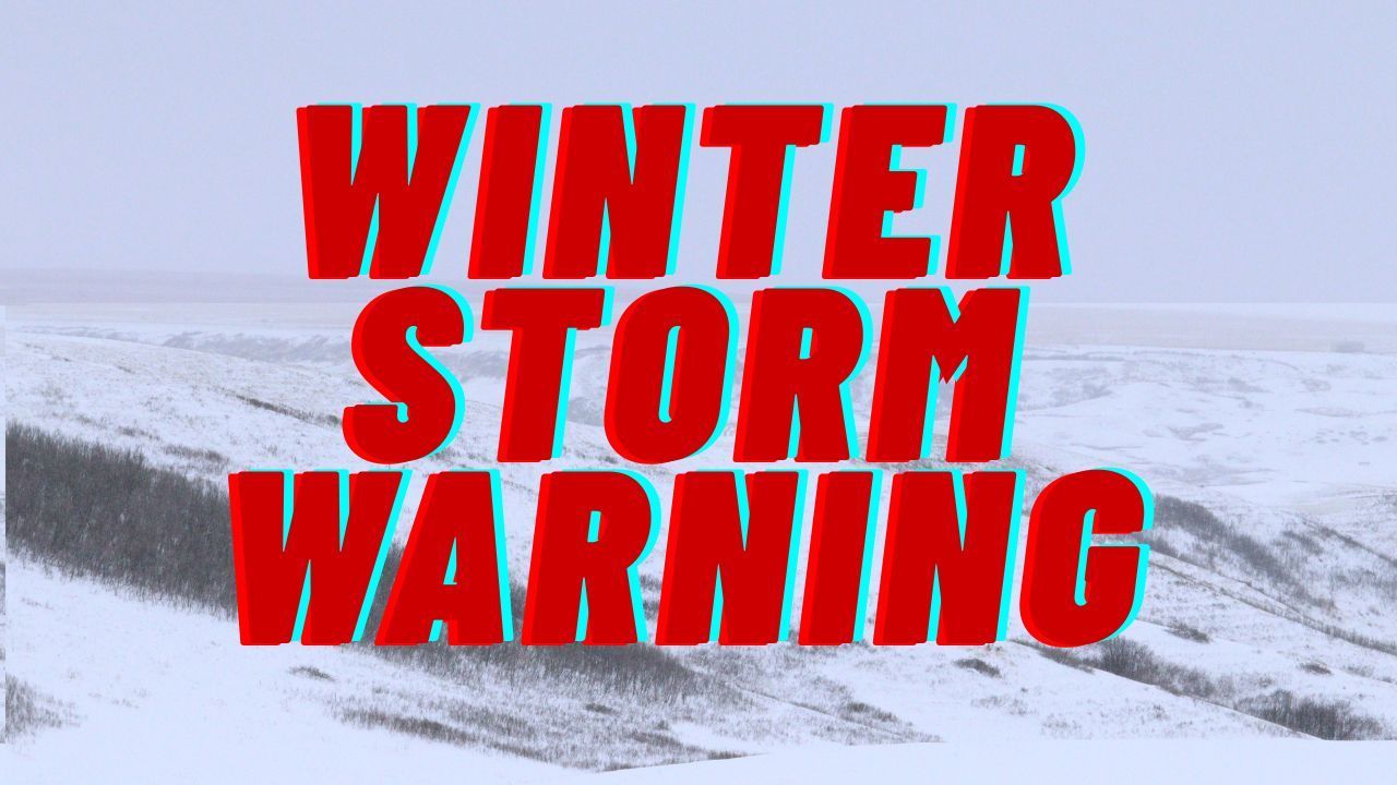
Ohio Valley – A round of winter weather is set to impact large portions of Indiana, Ohio, and Kentucky, with hazardous travel conditions possible through the weekend as snow accumulates across the region. The National Weather Service has issued both a Winter Weather Advisory and a Winter Storm Watch, signaling increasing confidence in a more organized snow system.
Winter Weather Advisory Remains in Effect Friday
A Winter Weather Advisory remains active early Friday across parts of east central and southeast Indiana, south central and southwest Ohio, and northern Kentucky. According to the National Weather Service in Wilmington, up to one inch of additional snow is expected through 10 a.m. EST Friday, creating slick roadways during the morning commute.
“Road conditions may become slippery, especially on untreated surfaces,” forecasters said, urging drivers to remain cautious during peak travel hours.
The advisory includes communities across the eastern Indianapolis-area counties, the Cincinnati metro, Dayton, Middletown, Hamilton, Wilmington, Chillicothe, and Portsmouth, along with northern Kentucky cities such as Covington, Florence, Newport, Alexandria, Maysville, and Vanceburg.
Winter Storm Watch Issued for the Weekend
Following the Friday advisory, the region will transition into a Winter Storm Watch beginning Saturday morning and lasting through Sunday morning. Forecasters indicate that 3 to 5 inches of snow are possible across much of the Ohio Valley as a stronger system moves in.
The National Weather Service says confidence is increasing that this system will be more widespread and organized than earlier snowfall events this season. If current projections hold, snowfall rates could intensify at times on Saturday, leading to difficult travel conditions across highways and secondary roads.
Travel Impacts Likely Friday Night Through Sunday
Hazardous travel conditions could begin as early as Friday evening, especially as temperatures drop and previously wet roads refreeze. The most significant impacts are expected Saturday into early Sunday, when accumulating snow could reduce visibility and create snow-covered roadways.
Officials warn that even modest snowfall amounts can cause problems if snow falls steadily or during high-traffic periods. Bridges, overpasses, and untreated rural roads may become especially dangerous.
“Travel could be very difficult at times, particularly if heavier snow bands develop,” the weather service cautioned.
What Residents Should Expect
In addition to snowfall, cold temperatures will persist throughout the weekend, allowing snow to remain on roads and sidewalks longer than usual. While exact totals may vary by location, forecasters emphasize that small changes in storm track could significantly affect local snowfall amounts.
Residents are encouraged to prepare now by checking vehicle readiness, ensuring adequate winter supplies, and planning for possible delays or cancellations.
Safety Tips for Motorists
Drivers traveling during the advisory or storm watch period are urged to take the following precautions:
- Slow down and increase following distance
- Allow extra time to reach destinations
- Avoid unnecessary travel during periods of heavy snow
- Keep an emergency kit in vehicles, including blankets and flashlights
Stay Updated as Forecasts Evolve
The National Weather Service notes that forecast details will become clearer over the next 24 to 48 hours. Residents should continue monitoring official weather updates and local alerts for potential upgrades to warnings or changes in snowfall expectations.
Weather conditions can change rapidly, and staying informed will be key to staying safe throughout the weekend.
Have you experienced winter travel issues in your area? Share your experiences in the comments below.