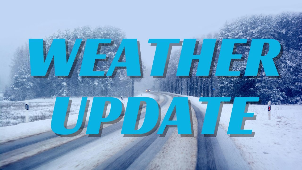
Gaylord, MI — A long stretch of snowy weather is settling over northern Michigan this week, with forecasters calling for persistent snow showers and steady accumulations through Wednesday. According to the National Weather Service in Gaylord, “most areas will see 1 to 2 inches of snow at a time over the next several days,” keeping roads slick and visibility reduced for commuters.
Snowy Pattern Returns to Northern Michigan
Northern Michigan is transitioning into a prolonged and active winter setup as cold air, lake effect bands, and multiple disturbances sweep across the region. Temperatures will remain stuck in the 20s and low 30s, supporting ongoing snowfall from today through midweek.
Forecasters note that “snow showers will linger through Saturday,” followed by a more widespread light-to-moderate snow event on Sunday. By Monday and Tuesday, stronger winds over Lake Michigan will fuel heavier lake effect snow in shoreline areas.
Daily 1–2 Inch Snowfall Possible
The National Weather Service highlights a consistent trend: many areas across northern and central Michigan will pick up “1 to 2 inches of snow at a time” each day. While no single system is expected to produce heavy snowfall initially, the repeated rounds will create steady accumulations and persistently slippery travel conditions.
Communities from Petoskey to Gaylord, Traverse City, Cadillac, Alpena, and the central counties may all see periodic bursts of snow, with the totals slowly building through midweek.
Stronger Midweek System Could Bring Higher Totals
While light snow continues for several days, the NWS cautions that Tuesday into Wednesday may bring a more organized storm. Forecasters say “the most significant system may arrive Tuesday into Wednesday,” with the potential for broader snowfall coverage and higher accumulations across the region.
This system may also interact with lake-enhanced moisture, leading to localized heavier bands—especially west of I-75 and along the Lake Michigan shoreline.
Motorists are urged to monitor forecast updates, as timing and intensity could influence both morning and evening commutes.
Travel Safety and Road Conditions
Roads across northern Michigan will be affected daily as new snow accumulates on cold pavement. Drivers should:
- Allow extra travel time
- Reduce speeds
- Watch for sudden drops in visibility
- Keep emergency kits and winter gear in vehicles
Authorities emphasize that even small amounts of snow can lead to slick conditions, urging residents to stay aware of rapidly changing weather. The NWS reminds travelers that “motorists are urged to use caution and prepare for slick road conditions during commutes.”
Weather Pattern Holds Into Midweek
Cold and unsettled conditions will dominate the region through at least Wednesday. Some moderation in temperatures is expected late next week, but the general winter pattern appears to be firmly established.
Residents across northern Michigan should be prepared for ongoing snow chances and periodic travel impacts as winter tightens its grip.
Stay Informed
Check the latest National Weather Service forecasts, local road updates, and weather alerts. Stay aware of changing snow conditions, and let us know in the comments what snowfall amounts you’re seeing in your area.