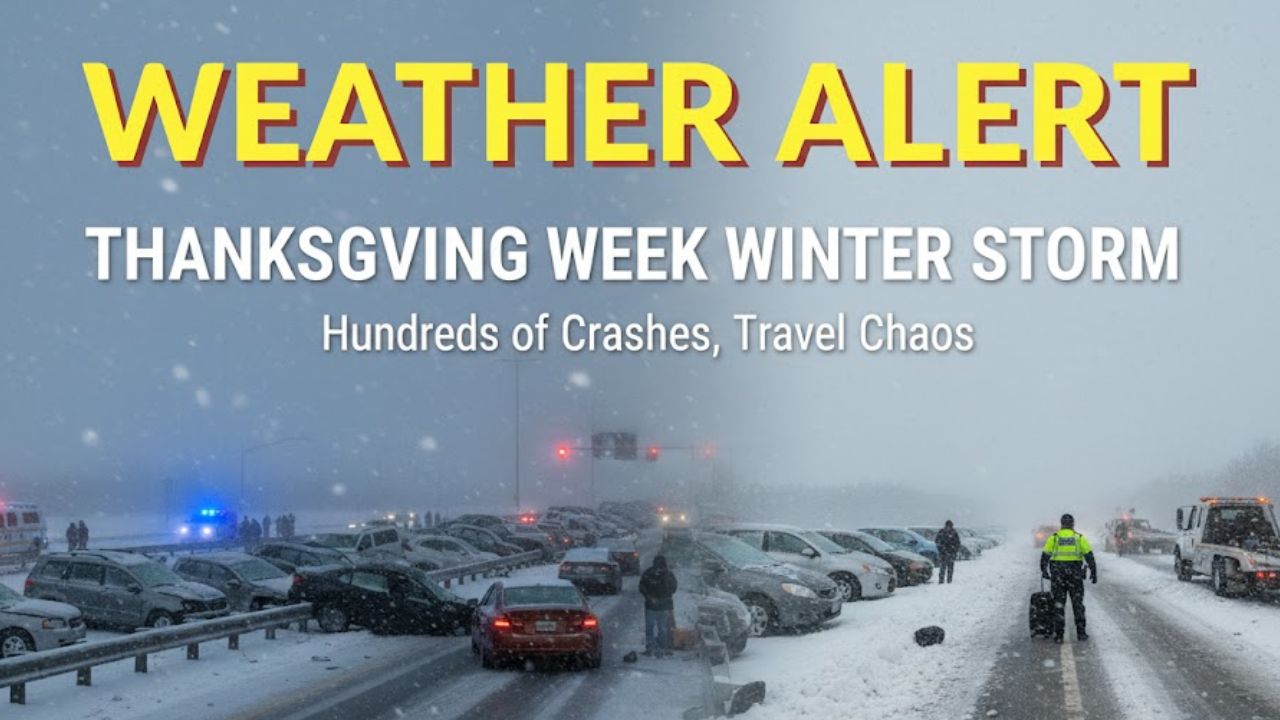
Boston, MA — An arctic front is sweeping across Massachusetts this afternoon, bringing a round of strong northwest winds, rapidly dropping temperatures, and pockets of light snow showers that could briefly reduce visibility on some roads.
Arctic Front Brings Quick-Hitting Snow and Wind
The National Weather Service in Boston notes that “northwest Massachusetts faces the highest chance for a brief, localized snow squall,” while most other parts of the state hold a “low chance under 20%” of experiencing one. Although short-lived, these squalls can generate sudden visibility drops and create slick spots on untreated roadways.
Communities from Worcester to Pittsfield, Springfield, and Boston may see light snow move through as the front passes. Even minimal accumulation could lead to quick pavement glazing, especially during the afternoon commute.
Winds Expected to Strengthen Rapidly
Behind the front, cold air will rush in and strengthen winds significantly. Meteorologists report that “gusts between 30 and 40 mph” are likely from mid-afternoon through early evening. These stronger gusts, combined with falling temperatures, will make conditions feel noticeably colder by late day.
Drivers, pedestrians, and anyone with outdoor plans should be prepared for strong crosswinds, especially in open areas, on bridges, and along elevated roadways. Lightweight outdoor items such as decorations, trash bins, and unsecured equipment may get blown around if not secured.
Temperatures Drop Through the 30s
As the front pushes eastward, temperatures will steadily fall through the 30s. Wind chills will add an extra bite, dropping the “feels like” temperatures into the 20s for much of the state. This will be the coldest stretch many areas have experienced so far this week.
The arrival of colder, drier air means snow activity will taper off, but the brisk winds will linger into the early evening before gradually weakening overnight.
Safety Guidance for Residents
The National Weather Service encourages residents to stay alert for rapidly changing conditions, noting that “snow squalls can cause sudden drops in visibility and slick spots on untreated roads.”
Recommended precautions include:
- Allow extra travel time and reduce speed if visibility drops
- Keep both hands on the wheel in windy areas
- Secure outdoor furniture, holiday decorations, and loose items
- Dress warmly for colder wind chills during the late afternoon and evening
- Stay updated on local weather alerts through official NWS channels
Officials also highlight that even a brief burst of snow can catch drivers off guard, especially during high-traffic afternoon hours.
What to Expect Tonight and Early Friday
Conditions will gradually improve overnight as skies become partly clear and winds begin to diminish. However, a much colder air mass will settle in, bringing the potential for a frosty start Friday morning across the state.
Temperatures early Friday may dip into the 20s in many locations, with some interior spots falling even lower. The cold stretch is expected to continue into the weekend, though dry conditions should persist for most of Massachusetts.
Conclusion
Massachusetts residents are preparing for a sharp shift in weather as an arctic front ushers in strong winds, pockets of light snow, and a noticeable drop in temperatures this afternoon. Drivers and outdoor travelers should remain cautious as conditions may change quickly across the region.
Tell Us in the Comments
What weather conditions are you seeing in your area right now? Share your updates or travel experiences in the comments below.


