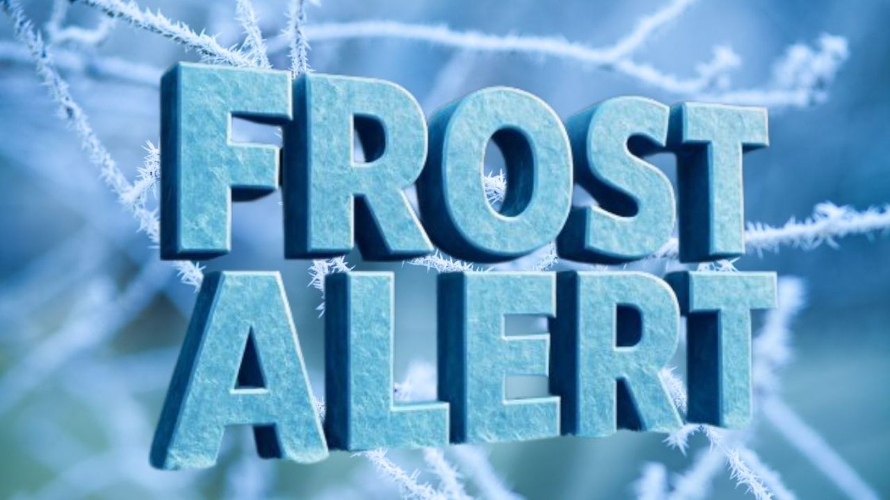
Montpelier, VT – Vermont is preparing for its first major Arctic outbreak of the season as frigid northern air moves into the region starting Saturday, November 30, and continues into the first week of December. State officials and weather agencies are cautioning drivers, especially along Interstate 89, to expect rapidly deteriorating travel conditions as temperatures plunge well below average.
The upcoming cold snap marks the earliest significant freeze of the winter season, with meteorologists warning that the arrival of Arctic air will create hazardous roadways, low visibility, and dangerously low wind chills.
I-89 Drivers Urged to Prepare for Icy Roads
Commuters traveling along I-89 from Burlington to Montpelier and down to White River Junction could face icy surfaces, black ice, and sharp temperature drops during the morning rush. Forecast models suggest that road conditions may worsen quickly as overnight lows dip into the single digits, freezing any residual moisture on the pavement.
The National Blend of Models (NBM) indicates that temperatures may struggle to reach the mid-20s during daylight hours, signaling an abrupt shift from the milder conditions seen earlier in November. These colder daytime highs will limit melting and increase the risk of persistent ice patches.
A link to the National Weather Service’s regional forecast, which first highlighted the incoming cold surge, noted that the temperature drop is part of a broader pattern affecting the northern United States.
Early December Arctic Air: What Meteorologists Are Seeing
The National Weather Service reports that a strong wave of Arctic air will sweep south out of Canada, lowering temperatures across New England. The Climate Prediction Center projects a 50–70% probability of below-average temperatures across Vermont throughout the week.
By Monday morning, wind chills are expected to fall below zero, increasing the risk of frostbite for anyone outdoors for extended periods. This cold outbreak, meteorologists explain, represents the season’s first widespread Arctic intrusion — a weather shift that often sets the tone for the early winter weeks.
Timeline of the Cold Outbreak
- Saturday, Nov. 30: Cold air begins moving into Vermont.
- Sunday, Dec. 1: Temperatures drop sharply overnight; icy conditions possible.
- Monday–Wednesday: Lows in the single digits, wind chills below zero; daytime highs in the 20s.
- Rest of the week: Continued below-average temperatures with localized snow showers possible.
What Officials Are Saying
Transportation officials emphasize the importance of slower driving speeds, increased following distance, and preparation for sudden icy stretches.
“Drivers should expect rapidly changing conditions on interstate routes, especially during the early morning hours,” officials warned in internal weather briefings shared statewide.
Meteorologists also underline that the cold will be more intense due to persistent winds funneling through the Green Mountains.
“Wind chills falling below zero can create dangerous conditions for anyone without proper winter clothing,” a forecaster noted.
Key Weather Facts for Vermont Residents
- Arctic air arrival: November 30
- Expected lows: Single digits
- Wind chills: Dropping below 0°F
- Daytime highs: Mid-20s
- Primary impact area: I-89 corridor
- Temperature probability: 50–70% chance of below-average temps
Why This Cold Snap Matters
This event highlights a sharp temperature divide across the country. While the Midwest and Northeast brace for cold, the southern U.S. is forecast to remain unusually warm. Such contrasts can intensify weather patterns, contributing to abrupt storms or sudden temperature shifts in regions like Vermont.
For residents, the cold blast is also a reminder to inspect heating systems, prepare emergency supplies, and ensure proper winter tires or chains for commuting on icy roads.
Safety Tips for Extreme Cold and Winter Driving
To stay safe during an Arctic blast, officials recommend:
- Dress in layers, including insulated gloves, hats, and waterproof outerwear.
- Keep your vehicle’s antifreeze, battery, and tires winter-ready.
- Store an emergency kit that includes blankets, snacks, water, and a flashlight.
- Monitor local forecasts frequently for sudden wind chill advisories.
- Allow extra commuting time and reduce speed on potentially icy bridges and overpasses.
Even brief exposure to extreme cold can result in frostbite or hypothermia, making protective clothing essential for anyone outdoors early in the morning or late at night.
Conclusion
With Vermont facing its first significant Arctic blast of the season, residents—especially those traveling the busy I-89 corridor—should take precautions to stay safe. The mix of subzero wind chills, icy roads, and unusually low daytime temperatures will challenge drivers and pedestrians throughout the first week of December.
How are you preparing for this early-winter cold wave? Share your experiences in the comments below.