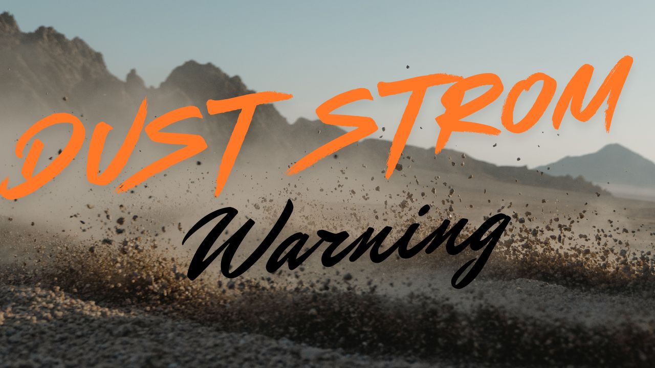
Cheyenne, WY – The National Weather Service (NWS) in Cheyenne is urging residents and holiday travelers to prepare for a turbulent start to Thanksgiving week as powerful winds begin sweeping across Wyoming. Forecasters warn that strong gusts could significantly impact travel along the state’s busiest corridors, especially I-80 and I-25, beginning Monday afternoon and continuing into early Tuesday.
Hazardous Winds Expected Early in the Week
A High Wind Warning has been issued for several of Wyoming’s most wind-prone regions, including Arlington, Bordeaux, and Elk Mountain, where gusts may exceed 60 mph. According to the NWS, these conditions will create dangerous travel scenarios for light, high-profile, and towing vehicles, particularly on elevated and exposed sections of the interstate.
Meteorologists say the most powerful winds will occur from Monday afternoon through early Tuesday morning, with the strongest gusts likely near traditional hotspots along the central and southeastern portions of the state.
“Travelers should be prepared for sudden wind gusts capable of causing blow-overs or loss of control,” the NWS warned in its advisory shared through local outlets.
Timeline of Expected Weather Impacts
The first round of high winds will peak between Monday afternoon and early Tuesday, with forecasters expecting widespread gusts surpassing 60 mph along key travel corridors.
The winds are expected to ease briefly Tuesday night, but conditions will not remain calm for long. Weather officials say a second round of gusty weather will move across Wyoming from Wednesday into Thursday morning, potentially impacting pre-Thanksgiving traffic. While this second event may not be quite as intense, it could still lead to delays and hazardous conditions for travelers heading into the holiday.
What Officials Are Saying
Wind hazards are nothing new to Wyoming, but during high-travel periods like Thanksgiving week, the risks are amplified.
A forecaster with NWS Cheyenne noted in a briefing:
“Even experienced Wyoming drivers can face challenges during high-wind events. Gusts over 60 mph have the potential to cause blow-offs, especially for trucks and trailers. We strongly recommend monitoring conditions and adjusting travel plans when needed.”
Local authorities also emphasized the need for caution on long, open stretches of highway where sudden crosswinds can take motorists by surprise.
Key Facts Travelers Should Know
- Gusts over 60 mph expected Monday afternoon through early Tuesday
- High Wind Warning issued for Arlington, Bordeaux, and Elk Mountain
- Second round of gusty winds expected Wednesday–Thursday
- Greatest risk posed to high-profile vehicles
- Sharp temperature drop expected on Tuesday
- Hazardous conditions may cause delays and potential closures on I-80 and I-25
Temperature Drop and Additional Weather Impacts
In addition to the strong winds, Wyoming will see a noticeable decline in temperatures beginning Tuesday. A colder air mass will sweep across the region, bringing blustery and chilly conditions for much of southeast Wyoming.
Wind chills may drop well below freezing, particularly during early morning and nighttime hours. Motorists should prepare for rapidly changing conditions and colder temperatures that can impact both travel and vehicle performance.
Safety Tips for Holiday Travelers
With tens of thousands of residents and out-of-state visitors expected to hit the road this week, understanding how to travel safely during high-wind events is essential.
Wind-related crashes and blow-overs are among the most common hazards on Wyoming’s interstates, especially during late fall and winter. Drivers should keep the following tips in mind:
- Avoid travel during peak wind periods if possible
- Keep both hands firmly on the wheel
- Reduce speed, particularly in open areas
- Stay alert for truck blow-over risk
- Check highway webcams and updates before departure
- Secure any cargo or trailers
- Never park on the shoulder in high-wind zones
If conditions deteriorate, the safest option is often to delay travel until winds subside.
Why Wyoming Sees Extreme Winds
Wyoming’s unique topography—wide basins, high plains, and mountain gaps—creates ideal conditions for intense wind events. When strong pressure gradients build across the Rockies, narrow corridors such as the Arlington and Elk Mountain gaps act like wind tunnels, accelerating gusts to dangerous speeds.
During transitional seasons like late fall, these systems become more frequent, making November one of the windiest months of the year across southeast Wyoming.
Conclusion
As Wyoming enters one of its busiest travel weeks of the year, motorists are being urged to take the upcoming high-wind events seriously. With gusts expected to top 60 mph and additional windy periods mid-week, travelers should plan ahead, stay informed, and prioritize safety during their holiday journeys.
Share your experiences in the comments below.