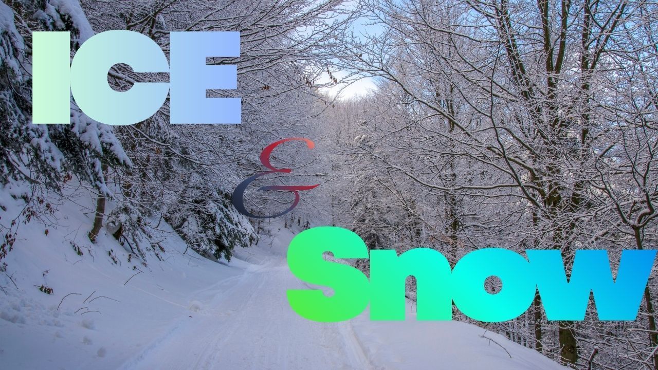
Albuquerque, NM – A Winter Weather Advisory is now in place for several mountain regions across northern New Mexico, with forecasters expecting 3 to 10 inches of snow from late Wednesday night through early Friday. According to the National Weather Service in Albuquerque, the advisory begins at 11 p.m. tonight and continues until 5 a.m. Friday, bringing a round of winter conditions that may disrupt travel and outdoor plans.
Snowfall Expected to Strengthen Overnight
Meteorologists say the Sangre de Cristo Mountains, Jemez Mountains, and Tusas Mountains including Chama are all set to experience accumulating snow, especially above 8,500 feet. Most areas will receive 3 to 7 inches, but higher peaks could reach 10 inches as the storm system deepens over the region.
Snow is expected to fall steadily throughout Thursday, creating difficult conditions for both the morning and evening commutes. With temperatures remaining cold enough to support continuous accumulation, even well-traveled routes are likely to become slick.
Key Areas Likely to Be Impacted
The Winter Weather Advisory covers major travel and recreation corridors in northern New Mexico, including locations surrounding Taos, Chama, Tres Piedras, and Los Alamos. These regions often see rapid changes in road conditions during winter storms, particularly on shaded mountain roads and steep grades.
The National Weather Service notes that drivers should be prepared for slow-moving traffic and intermittent low visibility as snow bands sweep through the area.
Travel Risks Expected on Mountain Roads
Forecasters warn that the combination of snowfall, cold temperatures, and elevation will create snow-packed roads and reduced tire traction. Mountain passes, especially those with tight curves or sharp elevation changes, may become especially hazardous.
The NWS said in its advisory shared via the National Weather Service Albuquerque update,
“Roads will become slick and snow-packed as the storm progresses, increasing the risk of spinouts and travel delays.”
Motorists planning to travel early Thursday or overnight Wednesday should allow extra time, monitor road updates frequently, and consider delaying non-essential trips.
Tips for Safe Travel During This Winter Event
Drivers heading into higher terrain should take precautions to reduce the risk of accidents. A few helpful safety considerations include:
- Keeping headlights on to improve visibility for oncoming traffic
- Reducing speed when approaching curves and downhill stretches
Even short-distance travel can become unpredictable once snow begins to accumulate, so planning ahead is essential.
Impacts for Outdoor Recreation and Mountain Communities
Northern New Mexico’s mountains draw visitors for skiing, hiking, and winter recreation, but this week’s storm may temporarily limit outdoor activities. Fresh snowfall will improve ski conditions in the long term, but Thursday’s active weather and poor visibility could restrict access to higher elevations.
Mountain communities in Taos County, Rio Arriba County, and Los Alamos County are also likely to see an uptick in weather-related delays, including slower commutes and early-season snow removal operations.
What Residents Should Do Now
With the storm beginning overnight, residents in affected regions are encouraged to prepare by checking vehicle tires, ensuring windshield wipers are functional, and keeping emergency supplies on hand. Those traveling long distances should verify that weather alerts and GPS apps are updated.
If traveling through mountain passes, such as routes leading toward Chama or high points near Tres Piedras, staying informed of evolving forecasts will be important. Weather patterns in these areas can shift quickly, often creating localized hazards not immediately visible on radar.
Winter Weather Outlook
While this storm brings the season’s first significant snowfall for some northern areas, meteorologists say additional winter systems could follow later in November. Early-season storms often show sharp intensity swings, and residents are urged to monitor forecasts as the region transitions fully into winter.
What do you think of this update? Share your experiences in the comments below.


