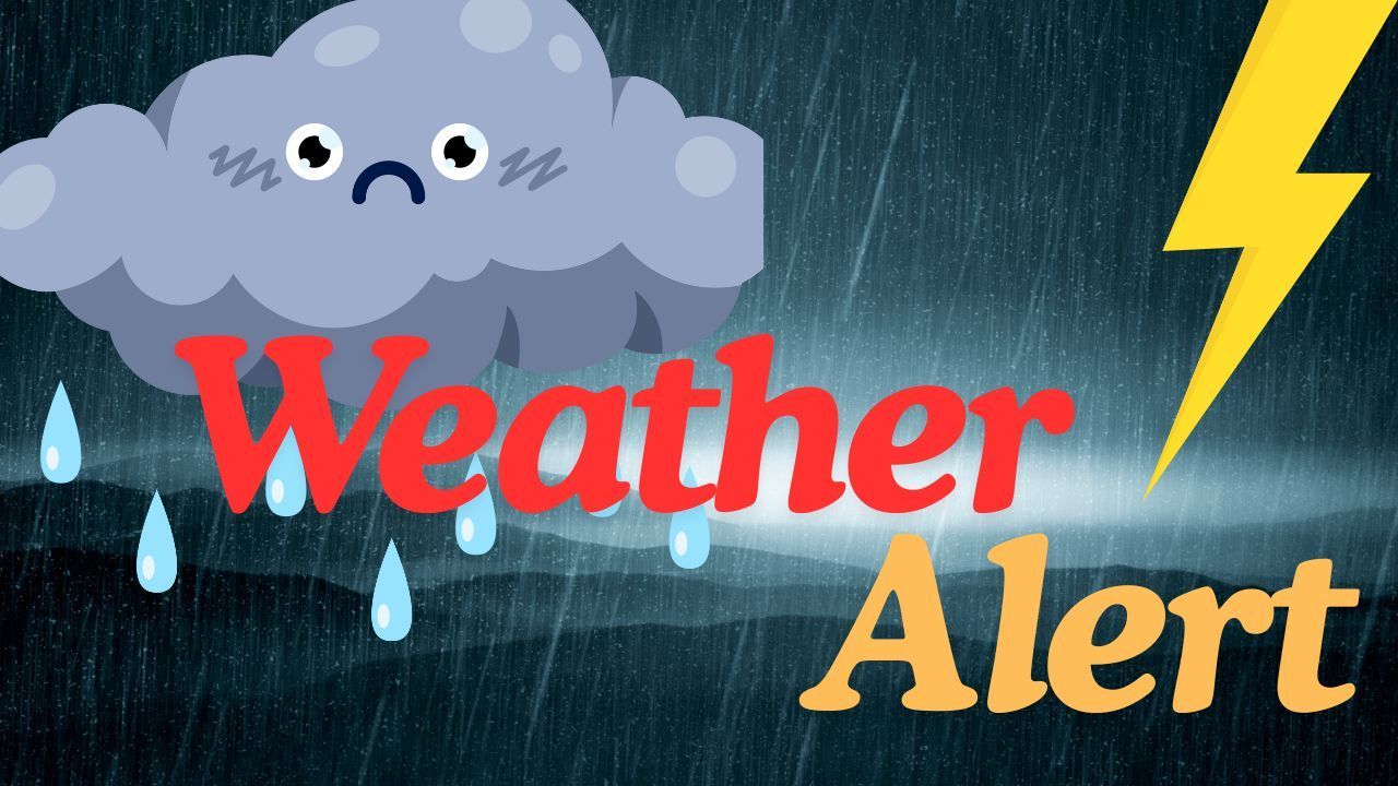
Phoenix, AZ – A new wave of rain and isolated thunderstorms is moving across central Arizona, prompting continued flooding concerns for parts of Maricopa County as saturated ground conditions make the area more vulnerable. The National Weather Service warns that the latest disturbance could bring enough rainfall to trigger runoff issues, especially in northern sections of the county.
Rainfall totals in northern Maricopa County may reach 1.00 to 1.50 inches, with even higher amounts possible where stronger storms develop. According to a recent update from the National Weather Service in Phoenix, the lower deserts — including the Phoenix metro — can expect 0.25 to 1.00 inch of rain, though isolated storms may cause pockets of heavier rainfall. The ongoing Flood Watch is set to expire at 5 p.m. Wednesday in northwest Maricopa County and 6 a.m. Thursday in northeast Maricopa County.
Rainfall Outlook for Central Arizona
Forecasters say a slow-moving low-pressure system will continue to influence Arizona’s weather through Thursday. This system is expected to generate repeated rounds of showers and isolated thunderstorms, with the highest rain chances arriving overnight into Thursday morning.
Minor flooding remains a key concern, particularly in:
- Low-lying roadways
- Flowing washes
- Areas with recent heavy rainfall
Drivers are urged to use extreme caution, especially in locations where water may pool unexpectedly.
Storm Impacts: Thunder, Wind, and Travel Hazards
Some of the stronger storms may produce gusty winds and occasional lightning, increasing risks for motorists and outdoor activities. Weather officials highlight the dangers of driving across flooded roads, noting that even a shallow depth of moving water can carry a vehicle off the roadway.
“Turn around, don’t drown — it only takes a small amount of water to sweep a vehicle away,” forecasters emphasize in guidance shared through the National Weather Service Phoenix updates.
Residents spending time near creeks, washes, or streams are encouraged to stay alert, as conditions can shift rapidly with new rainfall.
Additional System Expected Later This Week
This midweek storm isn’t the only disturbance affecting the region. Another weather system is expected to arrive from Friday into Sunday, potentially bringing additional rainfall chances across central and western Arizona. Forecasters will continue monitoring its strength and timing as it approaches.
What to Expect Next for Phoenix
As the pattern continues to evolve, keep an eye on updated forecasts, especially if traveling through flood-prone areas. The combination of saturated soils and renewed rainfall could lead to quick water rises in washes and dips in the road.
Share your experiences in the comments below.