MANCHESTER, N.H. – Frosty mornings and calm skies mark the quiet before a potential wintry turn in southern New Hampshire’s weather. As temperatures continue to drop, forecasters are monitoring signs of the first measurable snow of the season — possibly arriving late Saturday night into early Sunday.
A Frosty Start Before the Weekend Change
Residents across the Merrimack Valley woke up Wednesday to icy windshields and misty breath in the cold morning air. According to the National Weather Service in Gray, Maine, daytime highs will reach around 47°F on Thursday, with increasing clouds and a light southwest breeze. Gusts could rise to 20 mph by the afternoon before calming overnight under partly cloudy skies.
The region remains locked in a pattern of cool, dry air through Friday, giving residents one more mostly sunny day with highs near 44°F before conditions begin to shift.
Snow and Rain Mix Expected Late Saturday
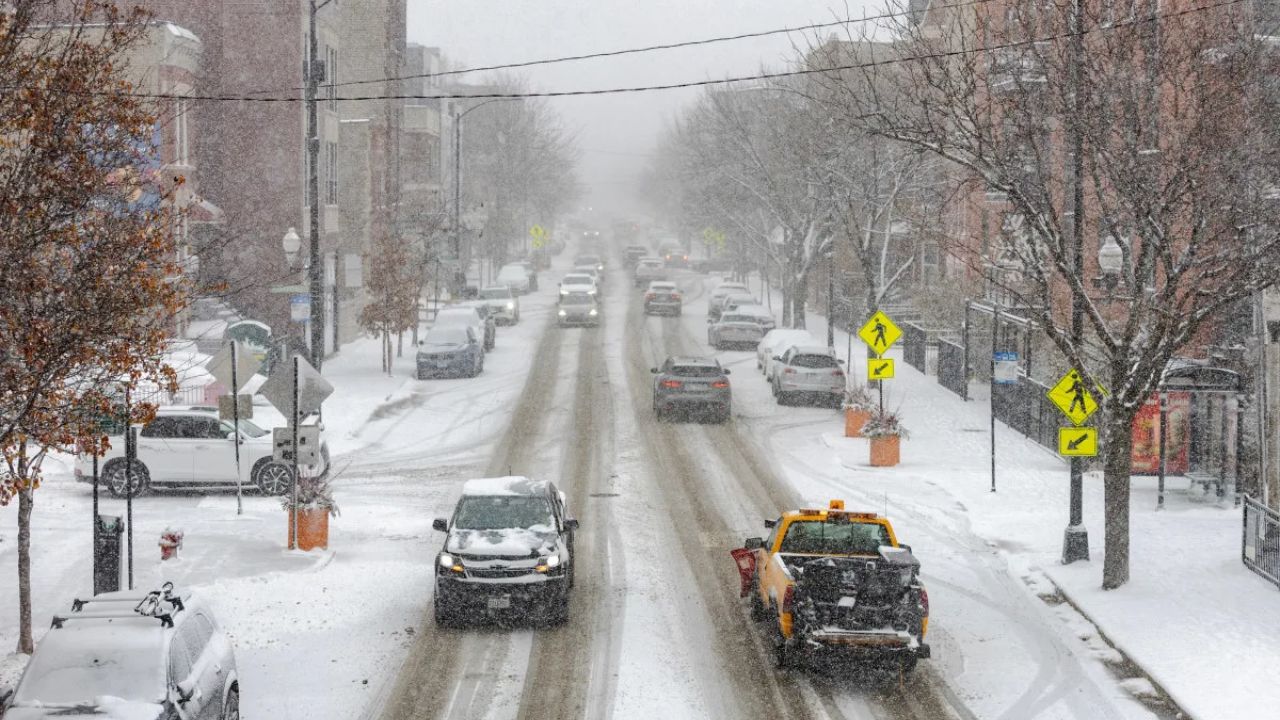
Forecasters warn that a low-pressure system moving in from the west could bring the season’s first snowflakes to southern New Hampshire late Saturday night. Areas north and west of Manchester stand the best chance of seeing light accumulation, while along Interstate 93 and Route 101, drivers may encounter slick conditions early Sunday morning.
“We’re looking at a wintry mix developing overnight Saturday, transitioning to rain by Sunday morning,” meteorologists at the National Weather Service said Wednesday. “Roads may become slippery, especially before sunrise.”
Temperatures are expected to hover around 30°F before climbing into the upper 40s by Sunday afternoon, turning most of the precipitation to rain.
Sunday Travel Impacts and Road Safety
The timing of the incoming system could impact early weekend travel. Commuters heading south toward Boston or east toward Portsmouth may face periods of reduced visibility and wet or icy roads Sunday morning.
Motorists are encouraged to:
- Check updated road conditions from New Hampshire DOT before travel.
- Allow extra time for morning commutes or errands.
- Keep winter windshield fluid and emergency kits ready as temperatures drop below freezing at night.
By Sunday evening, the system is forecast to exit the region, leaving behind brisk northwest winds and colder air early next week.
Solar Storm Fades, Clearer Skies Ahead
The G4 solar storm that illuminated New Hampshire skies with rare auroras Tuesday night continues to fade, though minor GPS and satellite disruptions may persist through Thursday. The fading geomagnetic activity will allow clearer skies to return, offering good stargazing opportunities later in the week.
Five-Day Outlook for Manchester, NH
- Thursday: 47°/29° – Increasing clouds; gusts up to 20 mph.
- Friday: 44°/25° – Mostly sunny, calm, and cool.
- Saturday: 43°/28° – Sunny early, clouds building; chance of snow late.
- Sunday: 48°/30° – Early snow/rain mix; wet roads, breezy.
- Monday: 42°/27° – Mostly sunny with colder air settling in.
Winter’s Early Tease
While the first flakes may only dust parts of southern New Hampshire, the weekend system serves as a reminder that winter is near. Forecasters advise residents to inspect heating systems, check snow shovels, and prepare vehicles for cold weather travel before December’s deeper chill sets in.
What are your thoughts on the early arrival of snow in Manchester? Share your experiences and forecasts in the comments below.