Raleigh, NC – Residents across central North Carolina woke to frost-covered lawns and icy rooftops early this morning as the region endured one of its coldest mornings of the fall season. Temperatures dropped into the low 20s overnight before the Freeze Warning expired, but forecasters say the cold isn’t today’s biggest concern — fire danger is.
The Incident: Freeze Warning Ends as New Hazard Emerges
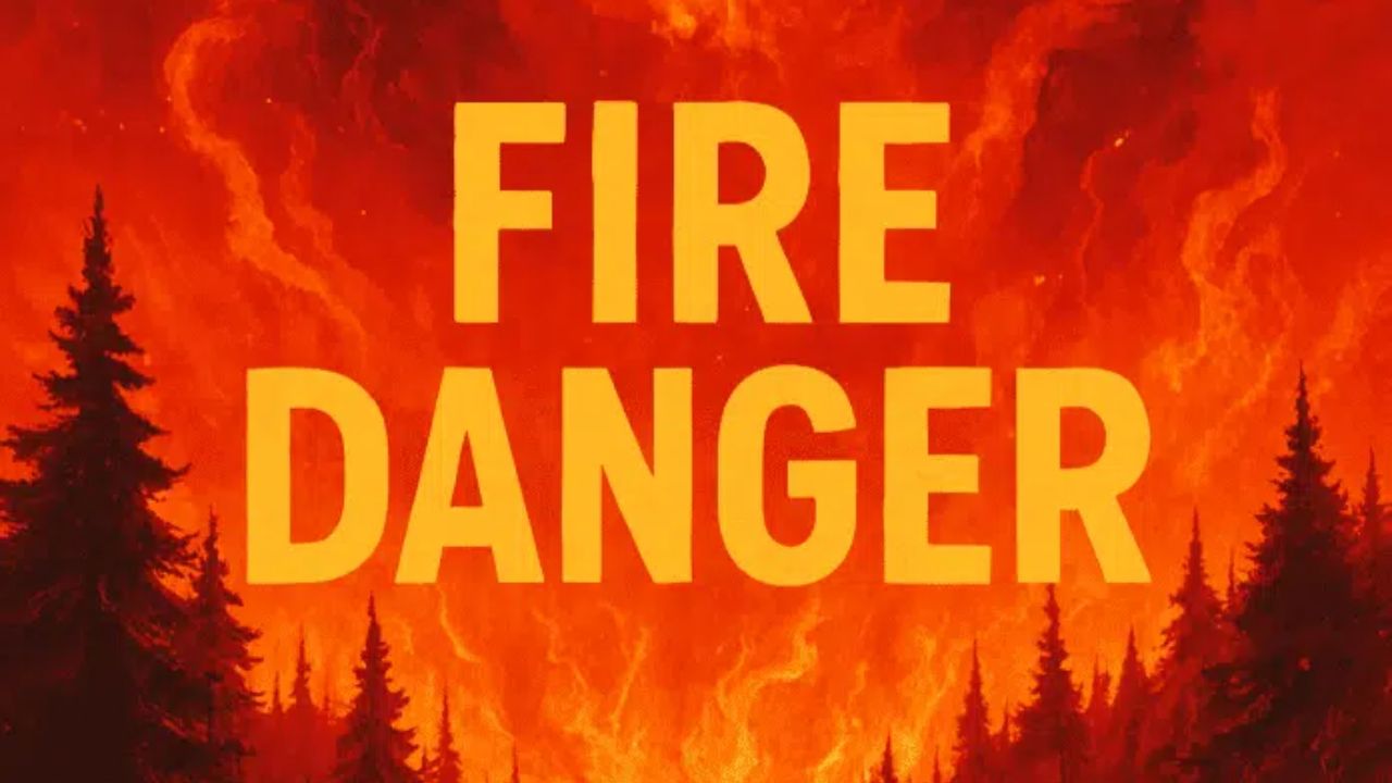
The National Weather Service (NWS) in Raleigh lifted its Freeze Warning at 9 a.m., marking the end of a sharp cold snap across the region. But while the frost fades, dry air and gusty winds are now creating ideal conditions for wildfires and brush burns to spread rapidly.
“The combination of low humidity, strong gusts, and dry fuels makes it easy for fires to start and spread today,” the NWS cautioned in a morning update.
Meteorologists noted that gusts up to 30 mph could hit Wake, Johnston, and Harnett Counties, prompting officials to discourage outdoor burning until winds die down later this evening.
Officials warned that even small flames, such as from campfires or backyard debris burning, could quickly turn dangerous given the extremely low humidity and parched vegetation following several dry days.
Weather Conditions and Forecast
Despite the cold start, skies remained clear and sunny throughout the morning. Daytime highs will reach around 48 degrees in Raleigh, providing a crisp but comfortable Veterans Day for outdoor ceremonies and events.
By Wednesday, a shift in the weather pattern brings warmer conditions, with highs climbing into the low 60s as high pressure settles across the state.
“The chill will fade quickly as sunshine dominates the midweek period,” meteorologist reports from NWS Raleigh stated.
Looking toward the weekend, the trend continues upward, offering ideal weather for fall clean-up, outdoor travel, and early holiday decorating.
Fire Safety Advisories and Resident Warnings
Local fire departments across Wake and neighboring counties are urging residents to postpone any debris or leaf burning until humidity levels recover and winds calm down.
“Please, hold off on burning today,” officials said. “Even one spark could start a fast-moving fire.”
The North Carolina Forest Service also issued a Fire Danger Alert, advising residents to secure outdoor grills, avoid discarding cigarette butts, and ensure vehicles are not parked over dry grass.
Although conditions should improve overnight, fire danger may linger into Tuesday evening before moisture levels rise midweek.
Five-Day Forecast for Raleigh, NC
| Day | High/Low | Forecast |
|---|---|---|
| Wednesday | 61/43 | Sunny and milder; light afternoon breeze. |
| Thursday | 62/38 | Mostly sunny, calm, and dry. |
| Friday | 66/40 | Bright skies and pleasant late-fall warmth. |
| Saturday | 66/49 | Mostly sunny and ideal for outdoor plans. |
| Sunday | 72/53 | Partly cloudy; warmer trend continues, dry evening. |
Looking Ahead: Mild Pattern Before Thanksgiving Front
Forecasters are monitoring a long-range system that could bring another cool-down early next week, possibly linked to a stronger front before Thanksgiving. While no snow is in sight for the Carolinas yet, the NWS says the pattern hints that winter’s first chill may not be far away.
Meteorologists emphasize that residents should take advantage of the upcoming stretch of sunny, dry days to prepare homes, gardens, and vehicles for colder months ahead.
Conclusion
While the Freeze Warning has officially ended for Raleigh and surrounding counties, fire danger remains high through the day due to dry, gusty conditions. Residents are encouraged to avoid outdoor burning, stay alert to weather updates, and use caution until winds subside.
How are you preparing for the cold mornings and fire danger in your area? Share your thoughts in the comments below.