Charleston, WV – West Virginians are about to experience a dramatic weather turnaround as unseasonably warm temperatures in the 70s give way to wintry cold and the season’s first snow early next week. Meteorologists say this sharp shift marks the state’s first significant November pattern change, signaling that winter is just around the corner.
The Weather Setup: From Warm Sunshine to Wind and Rain
Friday begins deceptively mild across the Mountain State, with sunshine and highs in the low 70s — more typical of early October than mid-November. However, this calm weather won’t last long. A powerful cold front is advancing from the Ohio Valley, bringing showers and possible thunderstorms by Friday evening.
The National Weather Service (NWS) warns that gusty winds up to 30 mph may develop along Interstate 64 and the Kanawha Valley as the front moves through overnight. The moisture-laden system is expected to sweep quickly eastward, setting the stage for a cooler and wetter weekend ahead.
Weekend Forecast: Saturday’s Calm Before the Cold
Saturday offers a brief return to calm conditions, with dry skies and highs in the upper 60s. However, meteorologists caution that colder air will begin to filter in late in the day. By Saturday night, temperatures will start to drop sharply as the cold front pushes deeper into the region.
“Saturday will feel comfortable for most areas, but this is the last mild day before a big temperature drop,” forecasters said Friday morning.
By Sunday, the temperature slide becomes more noticeable. Afternoon highs are expected to fall quickly through the 40s, and as moisture returns, residents can expect rain changing to snow by Sunday evening, particularly in the higher elevations of southern and eastern West Virginia.
Early Next Week: First Snow of the Season Expected
The first snowflakes of the season may arrive late Sunday night into early Monday, particularly across Beckley, Elkins, Snowshoe, and the Greenbrier Valley. While accumulation is expected to be light, grassy areas and higher terrain could see a thin coating of snow by Monday morning.
Monday will deliver a true taste of winter, with highs stuck in the upper 30s and wind chills in the 20s at times. Scattered snow showers may linger into midday before skies begin to clear.
“This will be the coldest air of the season so far,” the NWS Charleston office said. “Residents should prepare for freezing temperatures and possible slick spots during the Monday morning commute.”
Preparing for the Cold: Safety and Travel Tips
As temperatures drop rapidly, experts are urging residents to take precautions to stay safe and warm.
- Secure outdoor decorations and items that could blow away in strong winds.
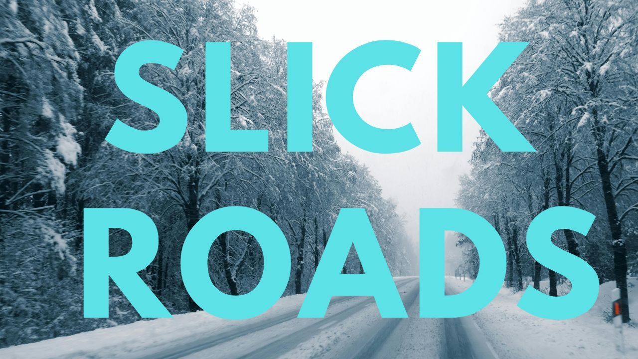
- Check travel plans for Sunday night and early Monday, especially in higher elevations where slick roads are possible.
- Inspect heating systems and ensure space heaters are used safely.
Drivers should also be alert for reduced visibility and icy spots on rural and mountain roads as the rain transitions to snow.
Looking Ahead: Veterans Day Brings Sunshine but Chilly Air
By Tuesday (Veterans Day), conditions are expected to clear across much of West Virginia, offering a bright but cold holiday. Highs will hover around 40°F, and overnight lows may dip into the 20s statewide.
Despite the chill, forecasters expect dry conditions for Veterans Day ceremonies, followed by a gradual warming trend later in the week.
Conclusion
West Virginia’s weather rollercoaster — from sunny 70s to snowy 30s in just a few days — marks the state’s first true brush with winter this season. As forecasters warn of strong winds, rain, and the first snowflakes, residents are reminded that winter is arriving early this year in the Mountain State.
What are your thoughts on this sudden cold snap? Share your experiences and local weather updates in the comments below.


