Omaha, NE – Residents across eastern Nebraska and western Iowa are waking up to a crisp reminder that November has arrived, as temperatures hover near 40°F this morning under clear skies and calm winds. The National Weather Service (NWS) in Omaha reports that this pattern will continue through the weekend, bringing frosty mornings, cool afternoons, and a gradual warm-up by Sunday.
The Weekend Forecast: Cold, Clear, and Calm Conditions
Friday begins with a cold start and light frost across the region. Daytime highs are expected to reach around 51°F, with sunny skies dominating much of the day. Forecasters say a few isolated sprinkles could develop late Friday night, though no measurable rainfall is expected.
Residents planning early travel along Interstate 80 or attending evening events should bundle up, as temperatures will fall quickly after sunset, dropping into the mid-30s overnight. The chill in the air will make for ideal conditions to spot the season’s first frost in low-lying areas.
Saturday: Another Cold Morning Before a Slight Warm-Up
Saturday will maintain a partly sunny, cool pattern, with highs in the upper 40s and a light northwest breeze. According to meteorologists, the dry air mass and clear overnight conditions will once again allow temperatures to dip close to freezing, especially in rural and open areas.
“Expect another frosty start early Saturday,” the National Weather Service in Omaha noted in its regional outlook. “It will be one of the coldest mornings so far this season.”
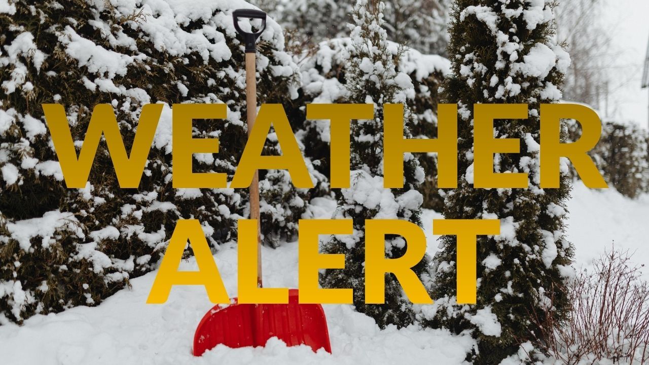
Gardeners and homeowners are advised to protect sensitive plants and disconnect outdoor hoses as temperatures approach 32°F overnight. The frost potential could be widespread, especially across western Iowa and central Nebraska.
Sunday: Sunshine Returns with a Milder Afternoon
Sunday brings a much-needed break from the chill, as southerly winds help push highs to around 58°F. Forecasters expect plenty of sunshine, making it a perfect day for yard cleanup, fall decorating, or outdoor family activities before Daylight Saving Time ends at 2 a.m.
With lighter winds and clearer skies, Sunday afternoon will feel pleasant and dry, a short-lived reprieve before another possible cold front approaches later next week.
Background: A Calm Start to November’s Transition
The current weather pattern marks the first true chill of November across the Midwest, signaling the transition toward late autumn. Forecasters note that this weekend’s conditions are typical for early November, with average highs in the low 50s and lows near freezing.
Meteorologists also highlight that clear skies and light winds can cause rapid nighttime cooling, resulting in patchy frost and fog near rivers and lowlands. For now, no significant precipitation or storm systems are expected, offering the region a calm, dry stretch to begin the month.
Ongoing Outlook: Watching for a Midweek Cold Front
Looking ahead, early next week will remain mild and mostly sunny, with highs near 60°F through Tuesday. However, the National Weather Service is monitoring a stronger cold front that could sweep through by midweek, potentially bringing gusty winds and another temperature drop.
Residents should stay updated on forecast changes, as early cold fronts in November can shift quickly and lead to freezing morning commutes or frost advisories.
Conclusion
The Nebraska–Iowa region is settling into its first true taste of November cold — a quiet, chilly weekend filled with crisp mornings and bright, cool afternoons. As daylight shortens and temperatures fall, residents are reminded that winter’s approach is just around the corner.
What do you think about this early November chill? Share how you’re preparing for the cold in the comments below.